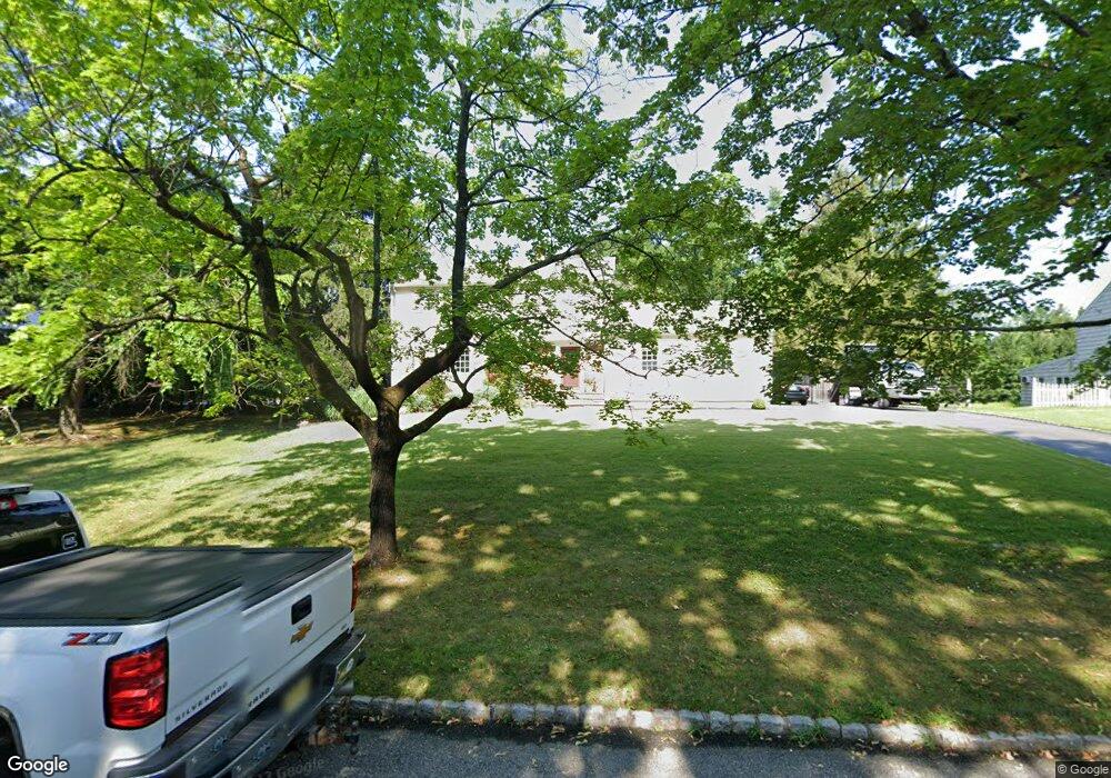
3 Morgantine Rd Roseland, NJ 07068
Estimated Value: $771,000 - $1,061,000
Studio
--
Bath
2,353
Sq Ft
$400/Sq Ft
Est. Value
About This Home
This home is located at 3 Morgantine Rd, Roseland, NJ 07068 and is currently estimated at $940,840, approximately $399 per square foot. 3 Morgantine Rd is a home located in Essex County with nearby schools including Lester C. Noecker Elementary School, West Essex Middle School, and West Essex High School.
Ownership History
Date
Name
Owned For
Owner Type
Purchase Details
Closed on
Aug 29, 2006
Sold by
Henley William
Bought by
Masone Michael and Masone Eileen
Current Estimated Value
Home Financials for this Owner
Home Financials are based on the most recent Mortgage that was taken out on this home.
Original Mortgage
$365,600
Outstanding Balance
$220,989
Interest Rate
6.79%
Mortgage Type
Future Advance Clause Open End Mortgage
Estimated Equity
$719,851
Create a Home Valuation Report for This Property
The Home Valuation Report is an in-depth analysis detailing your home's value as well as a comparison with similar homes in the area
Home Values in the Area
Average Home Value in this Area
Purchase History
| Date | Buyer | Sale Price | Title Company |
|---|---|---|---|
| Masone Michael | $687,500 | -- |
Source: Public Records
Mortgage History
| Date | Status | Borrower | Loan Amount |
|---|---|---|---|
| Open | Masone Michael | $365,600 |
Source: Public Records
Tax History
| Year | Tax Paid | Tax Assessment Tax Assessment Total Assessment is a certain percentage of the fair market value that is determined by local assessors to be the total taxable value of land and additions on the property. | Land | Improvement |
|---|---|---|---|---|
| 2025 | $13,677 | $804,100 | $379,000 | $425,100 |
| 2024 | $13,677 | $804,100 | $379,000 | $425,100 |
Source: Public Records
Map
Nearby Homes
- 15 Paradise Place Unit C0008
- 144 Passaic Ave
- 50 Cooper Ave
- 44 4th Ave
- 108 Kent Dr Unit C0130
- 26 Kent Dr Unit C0145
- 88 Kent Dr Unit C0176
- 518 Eagle Rock Ave
- 48 Bovensiepen Ct
- 2 Holderith Rd
- 192 Eagle Rock Ave
- 34 Brian Rd
- 3 Rutgers Ct
- 34 Lincoln St
- 194 Eagle Rock Ave
- 354 Beaufort Ave
- 5 Locust Place
- 15 Godfrey Ave
- 41 W Mcclellan Ave
- 4 Drummond Terrace