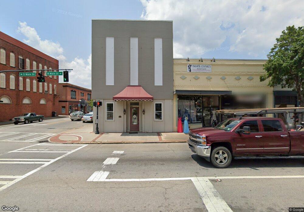
3 N Main St Statesboro, GA 30458
Estimated Value: $190,744
--
Bed
--
Bath
1,275
Sq Ft
$150/Sq Ft
Est. Value
About This Home
This home is located at 3 N Main St, Statesboro, GA 30458 and is currently estimated at $190,744, approximately $149 per square foot. 3 N Main St is a home located in Bulloch County with nearby schools including Julia P. Bryant Elementary School, Statesboro High School, and William James Middle School.
Ownership History
Date
Name
Owned For
Owner Type
Purchase Details
Closed on
Jan 15, 2014
Sold by
Miller Street Investors In
Bought by
Harville Donna S
Current Estimated Value
Home Financials for this Owner
Home Financials are based on the most recent Mortgage that was taken out on this home.
Original Mortgage
$86,353
Interest Rate
4.48%
Mortgage Type
Commercial
Purchase Details
Closed on
Nov 16, 2005
Sold by
Johnson Columbus
Bought by
Johnson Linda and Johnson Purlay
Purchase Details
Closed on
Feb 14, 2005
Sold by
Neville William G
Bought by
Miller Street Investors Inc
Create a Home Valuation Report for This Property
The Home Valuation Report is an in-depth analysis detailing your home's value as well as a comparison with similar homes in the area
Home Values in the Area
Average Home Value in this Area
Purchase History
| Date | Buyer | Sale Price | Title Company |
|---|---|---|---|
| Harville Donna S | $72,000 | -- | |
| Johnson Linda | -- | -- | |
| Miller Street Investors Inc | $58,000 | -- |
Source: Public Records
Mortgage History
| Date | Status | Borrower | Loan Amount |
|---|---|---|---|
| Closed | Harville Donna S | $86,353 |
Source: Public Records
Tax History Compared to Growth
Tax History
| Year | Tax Paid | Tax Assessment Tax Assessment Total Assessment is a certain percentage of the fair market value that is determined by local assessors to be the total taxable value of land and additions on the property. | Land | Improvement |
|---|---|---|---|---|
| 2024 | $1,131 | $50,560 | $7,040 | $43,520 |
| 2023 | $1,182 | $23,000 | $7,040 | $15,960 |
| 2022 | $478 | $23,105 | $7,040 | $16,065 |
| 2021 | $492 | $21,737 | $9,120 | $12,617 |
| 2020 | $506 | $21,737 | $9,120 | $12,617 |
| 2019 | $509 | $25,185 | $9,120 | $16,065 |
| 2018 | $531 | $25,185 | $9,120 | $16,065 |
| 2017 | $537 | $25,185 | $9,120 | $16,065 |
| 2016 | $540 | $25,185 | $9,120 | $16,065 |
| 2015 | $564 | $28,006 | $9,120 | $18,886 |
| 2014 | $518 | $28,006 | $9,120 | $18,886 |
Source: Public Records
Map
Nearby Homes
- 0 Highway 67 Unit 10541885
- 0 U S 301 Unit 24576764
- 111 S Mulberry St
- 460 Martin Luther King jr Dr
- 113 Church St
- 00 W Grady St
- 0 Highway 80 W Unit 10534803
- 0 Oak St Unit OAK ST/ LOT 2
- 228 Johnson St
- 118 Roundtree St
- 115 Inman Ln Unit A/B
- 117 W Jones Ave
- LOT 21 Oak Hill Dr
- 206 W Jones Ave
- 312 Institute St
- 316 E Main St
- 711 W Grady St
- 313 Donaldson St
- 317 Turner St
- 103 Floyd St
- 0 Highway 67 Unit Parcel A 8454066
- 0 Highway 67 Unit 8437780
- 0 Highway 67 Unit 8415982
- 0 Hwy 67 Unit 8413995
- 0 Highway 67 Unit 8394075
- 0 Highway 67 Unit 8394071
- 0 Hwy 67 Unit 87041
- 0 Hwy 67 Unit 87050
- 0 Hwy 67 Unit PARCEL B 178876
- 0 Hwy 67 Unit PARCEL A 178875
- 0 Highway 67 Unit 8268991
- 0 Hwy 67 Unit 7221490
- 0 Highway 67 Unit 7375546
- 0 Highway 67 Unit 7429821
- 0 Highway 67 Unit 7554080
- 0 Highway 67 Unit 7039529
- 0 Highway 67 Unit 7260040
- 0 Hwy 67 Unit PARCEL B 7357212
- 0 Hwy 67 Unit PARCEL A 7357136
- 0 Highway 67 Unit 7584070