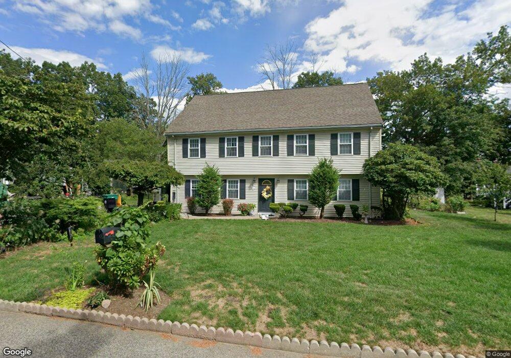
3 Norton Rd North Attleboro, MA 02760
North Attleboro NeighborhoodEstimated Value: $640,343 - $819,000
3
Beds
3
Baths
2,226
Sq Ft
$317/Sq Ft
Est. Value
About This Home
This home is located at 3 Norton Rd, North Attleboro, MA 02760 and is currently estimated at $705,086, approximately $316 per square foot. 3 Norton Rd is a home located in Bristol County with nearby schools including North Attleboro High School.
Ownership History
Date
Name
Owned For
Owner Type
Purchase Details
Closed on
Mar 8, 2000
Sold by
Morehouse Joanna
Bought by
Ku Ming Tak and Ooi Alice Ak
Current Estimated Value
Home Financials for this Owner
Home Financials are based on the most recent Mortgage that was taken out on this home.
Original Mortgage
$155,000
Interest Rate
8.3%
Purchase Details
Closed on
Mar 27, 1996
Sold by
First Bank Beverly Hl
Bought by
Morehouse Joanna
Purchase Details
Closed on
Jan 10, 1996
Sold by
Marshall Robert C
Bought by
Fdic and Southstate Bk For Svgs
Create a Home Valuation Report for This Property
The Home Valuation Report is an in-depth analysis detailing your home's value as well as a comparison with similar homes in the area
Home Values in the Area
Average Home Value in this Area
Purchase History
| Date | Buyer | Sale Price | Title Company |
|---|---|---|---|
| Ku Ming Tak | $205,000 | -- | |
| Morehouse Joanna | $55,500 | -- | |
| Fdic | $90,744 | -- |
Source: Public Records
Mortgage History
| Date | Status | Borrower | Loan Amount |
|---|---|---|---|
| Open | Fdic | $104,200 | |
| Closed | Fdic | $155,000 |
Source: Public Records
Tax History Compared to Growth
Tax History
| Year | Tax Paid | Tax Assessment Tax Assessment Total Assessment is a certain percentage of the fair market value that is determined by local assessors to be the total taxable value of land and additions on the property. | Land | Improvement |
|---|---|---|---|---|
| 2025 | $6,572 | $557,400 | $119,800 | $437,600 |
| 2024 | $6,552 | $567,800 | $119,800 | $448,000 |
| 2023 | $6,231 | $487,200 | $119,800 | $367,400 |
| 2022 | $5,838 | $419,100 | $119,800 | $299,300 |
| 2021 | $5,079 | $355,900 | $119,800 | $236,100 |
| 2020 | $5,010 | $349,100 | $119,800 | $229,300 |
| 2019 | $4,816 | $338,200 | $108,900 | $229,300 |
| 2018 | $4,330 | $324,600 | $108,900 | $215,700 |
| 2017 | $4,291 | $324,600 | $108,900 | $215,700 |
| 2016 | $4,122 | $311,800 | $121,000 | $190,800 |
| 2015 | $4,027 | $306,500 | $127,000 | $179,500 |
| 2014 | $3,932 | $297,000 | $117,500 | $179,500 |
Source: Public Records
Map
Nearby Homes
- 637 S Washington St Unit 47
- 31 Paine Rd
- 740 Allen Ave
- 181 Paine Rd
- 47 Reservoir St
- 11 Primrose Terrace
- 121 E Washington St Unit 8
- 121 E Washington St Unit 12
- 121 E Washington St Unit 13
- 121 E Washington St Unit 11
- 31 Walnut Rd
- 90 Walnut Rd
- Lot 6 Sperry Ln
- 46-48 Juniper Rd
- 325 Reservoir St
- 130 E Washington St Unit 57
- 130 E Washington St Unit 71
- 138 Jefferson St
- 135 Cumberland Ave
- 295 Newport Ave