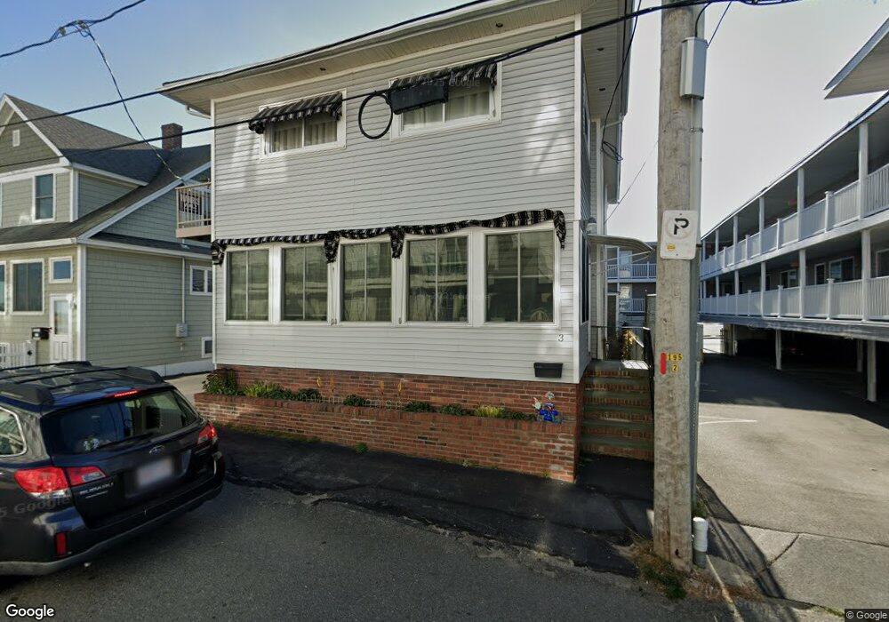
3 Nudd Ave Hampton, NH 03842
Estimated Value: $870,000 - $1,051,000
4
Beds
3
Baths
1,932
Sq Ft
$504/Sq Ft
Est. Value
About This Home
This home is located at 3 Nudd Ave, Hampton, NH 03842 and is currently estimated at $974,558, approximately $504 per square foot. 3 Nudd Ave is a home located in Rockingham County with nearby schools including Hampton Centre School, Adeline C. Marston Elementary School, and Hampton Academy.
Ownership History
Date
Name
Owned For
Owner Type
Purchase Details
Closed on
Feb 13, 1998
Sold by
Bankboston
Bought by
Shea Sharon E and Shea Howard F
Current Estimated Value
Home Financials for this Owner
Home Financials are based on the most recent Mortgage that was taken out on this home.
Original Mortgage
$92,500
Interest Rate
6.95%
Create a Home Valuation Report for This Property
The Home Valuation Report is an in-depth analysis detailing your home's value as well as a comparison with similar homes in the area
Home Values in the Area
Average Home Value in this Area
Purchase History
| Date | Buyer | Sale Price | Title Company |
|---|---|---|---|
| Shea Sharon E | $127,500 | -- |
Source: Public Records
Mortgage History
| Date | Status | Borrower | Loan Amount |
|---|---|---|---|
| Open | Shea Sharon E | $241,500 | |
| Closed | Shea Sharon E | $200,000 | |
| Closed | Shea Sharon E | $92,500 |
Source: Public Records
Tax History
| Year | Tax Paid | Tax Assessment Tax Assessment Total Assessment is a certain percentage of the fair market value that is determined by local assessors to be the total taxable value of land and additions on the property. | Land | Improvement |
|---|---|---|---|---|
| 2025 | $11,955 | $970,400 | $699,700 | $270,700 |
| 2024 | $11,955 | $970,400 | $699,700 | $270,700 |
| 2023 | $10,408 | $621,400 | $430,600 | $190,800 |
| 2022 | $9,843 | $621,400 | $430,600 | $190,800 |
| 2021 | $9,843 | $621,400 | $430,600 | $190,800 |
| 2020 | $9,900 | $621,500 | $430,600 | $190,900 |
| 2019 | $9,950 | $621,500 | $430,600 | $190,900 |
| 2018 | $9,664 | $567,800 | $375,700 | $192,100 |
| 2017 | $9,295 | $567,800 | $375,700 | $192,100 |
| 2016 | $9,130 | $567,800 | $375,700 | $192,100 |
| 2015 | $9,063 | $473,000 | $326,700 | $146,300 |
| 2014 | $8,661 | $473,000 | $326,700 | $146,300 |
Source: Public Records
Map
Nearby Homes
- 6 Ashworth Ave Unit G1
- 17 Kentville Terrace
- 12 Kentville Terrace
- 19-21 Kentville Terrace
- 29 Nudd Ave Unit A
- 27 Kentville Terrace
- 359 Ocean Blvd Unit 24
- 19 F St
- 377 Ocean Blvd Unit 16
- 407 Ocean Blvd Unit A2
- 407 Ocean Blvd Unit B11
- 407 Ocean Blvd Unit A5
- 415 Ocean Blvd Unit 3E
- 421 Ocean Blvd Unit N1
- 83 Ocean Blvd Unit 404
- 449 Ocean Blvd Unit 306
- 128 Ashworth Ave Unit 303
- 155 Island Path Unit A
- 465 Ocean Blvd Unit 502
- 3 Perkins Ave Unit 2
- 4 Ashworth Ave Unit 2
- 4 Ashworth Ave Unit 4
- 4 Ashworth Ave
- 1 Nudd Ave
- 8 Ashworth Ave Unit 8
- 6 Ashworth Ave Unit R1
- 6 Ashworth Ave Unit C2
- 6 Ashworth Ave Unit 8
- 6 Ashworth Ave Unit 7
- 6 Ashworth Ave
- 6 Ashworth Ave Unit 5
- 6 Ashworth Ave Unit 40
- 6 Ashworth Ave Unit 4
- 6 Ashworth Ave Unit 39
- 6 Ashworth Ave Unit 37
- 6 Ashworth Ave Unit 36
- 6 Ashworth Ave Unit 35
- 6 Ashworth Ave Unit 34
- 6 Ashworth Ave Unit 33
- 6 Ashworth Ave Unit 32
Your Personal Tour Guide
Ask me questions while you tour the home.