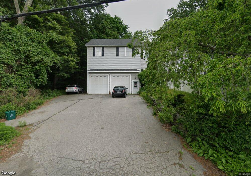
3 Nyland St Worcester, MA 01607
Broadmeadow Brook NeighborhoodEstimated Value: $316,000 - $397,000
1
Bed
1
Bath
1,024
Sq Ft
$349/Sq Ft
Est. Value
About This Home
This home is located at 3 Nyland St, Worcester, MA 01607 and is currently estimated at $357,793, approximately $349 per square foot. 3 Nyland St is a home located in Worcester County with nearby schools including Quinsigamond School, Jacob Hiatt Magnet School, and Chandler Magnet.
Ownership History
Date
Name
Owned For
Owner Type
Purchase Details
Closed on
Oct 15, 2002
Sold by
Stanley Joseph M
Bought by
Cowen Barbara
Current Estimated Value
Home Financials for this Owner
Home Financials are based on the most recent Mortgage that was taken out on this home.
Original Mortgage
$133,980
Outstanding Balance
$56,498
Interest Rate
6.24%
Mortgage Type
Purchase Money Mortgage
Estimated Equity
$301,295
Purchase Details
Closed on
Mar 12, 1999
Sold by
Geselius Lillianm
Bought by
Stanley Joseph M
Home Financials for this Owner
Home Financials are based on the most recent Mortgage that was taken out on this home.
Original Mortgage
$69,300
Interest Rate
6.73%
Mortgage Type
Purchase Money Mortgage
Create a Home Valuation Report for This Property
The Home Valuation Report is an in-depth analysis detailing your home's value as well as a comparison with similar homes in the area
Home Values in the Area
Average Home Value in this Area
Purchase History
| Date | Buyer | Sale Price | Title Company |
|---|---|---|---|
| Cowen Barbara | $155,000 | -- | |
| Stanley Joseph M | $77,000 | -- |
Source: Public Records
Mortgage History
| Date | Status | Borrower | Loan Amount |
|---|---|---|---|
| Open | Stanley Joseph M | $133,980 | |
| Previous Owner | Stanley Joseph M | $69,300 |
Source: Public Records
Tax History Compared to Growth
Tax History
| Year | Tax Paid | Tax Assessment Tax Assessment Total Assessment is a certain percentage of the fair market value that is determined by local assessors to be the total taxable value of land and additions on the property. | Land | Improvement |
|---|---|---|---|---|
| 2025 | $3,048 | $231,100 | $117,800 | $113,300 |
| 2024 | $3,036 | $220,800 | $117,800 | $103,000 |
| 2023 | $2,868 | $200,000 | $102,400 | $97,600 |
| 2022 | $2,566 | $168,700 | $82,000 | $86,700 |
| 2021 | $2,359 | $144,900 | $65,600 | $79,300 |
| 2020 | $2,346 | $138,000 | $65,600 | $72,400 |
| 2019 | $2,218 | $123,200 | $59,000 | $64,200 |
| 2018 | $2,241 | $118,500 | $59,000 | $59,500 |
| 2017 | $2,197 | $114,300 | $59,000 | $55,300 |
| 2016 | $1,956 | $94,900 | $42,900 | $52,000 |
| 2015 | $1,905 | $94,900 | $42,900 | $52,000 |
| 2014 | $1,933 | $98,900 | $42,900 | $56,000 |
Source: Public Records
Map
Nearby Homes
- 405 Granite St
- 10 Gensell Ave
- 422 Granite St
- 1295 Millbury St Unit B
- 4 Crest Ave
- 103 Blackstone River Rd
- 78 Greenwood St
- 11 Gibbs St Unit 12
- 29 Steele St
- 55 Whipple St
- 17 Thenius St
- 145 Loxwood St
- 10 Steele St
- 1 Broadmeadow Ave
- 7 Lorraine Rd
- 15 Clearview Terrace Unit 68
- 266 Massasoit Rd
- The Murray Plan at Clearview - Homes
- The Chase Plan at Clearview - Homes
- The Knight Plan at Clearview - Homes