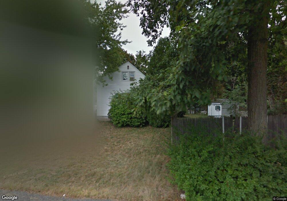
3 Old Charter Rd Marlborough, MA 01752
Estimated Value: $532,424 - $600,000
3
Beds
1
Bath
1,332
Sq Ft
$424/Sq Ft
Est. Value
About This Home
This home is located at 3 Old Charter Rd, Marlborough, MA 01752 and is currently estimated at $565,356, approximately $424 per square foot. 3 Old Charter Rd is a home located in Middlesex County with nearby schools including Marlborough High School, New Covenant Christian School, and Glenhaven Academy - JRI School.
Ownership History
Date
Name
Owned For
Owner Type
Purchase Details
Closed on
Jul 31, 1998
Sold by
Dechabert Mark P and Dechabert Kathleen J
Bought by
Griffin Mark E and Griffin Becki J
Current Estimated Value
Home Financials for this Owner
Home Financials are based on the most recent Mortgage that was taken out on this home.
Original Mortgage
$171,000
Outstanding Balance
$35,674
Interest Rate
6.92%
Mortgage Type
Purchase Money Mortgage
Estimated Equity
$529,682
Purchase Details
Closed on
Dec 15, 1995
Sold by
Obrien Daniel R and Obrien Mary C
Bought by
Dechabert Mark P and Dechabert Kathleen J
Home Financials for this Owner
Home Financials are based on the most recent Mortgage that was taken out on this home.
Original Mortgage
$128,250
Interest Rate
7.43%
Mortgage Type
Purchase Money Mortgage
Purchase Details
Closed on
Sep 25, 1991
Sold by
Clark Henry J and Clark Barbara A
Bought by
Obrien Daniel R and Obrien Mary
Create a Home Valuation Report for This Property
The Home Valuation Report is an in-depth analysis detailing your home's value as well as a comparison with similar homes in the area
Home Values in the Area
Average Home Value in this Area
Purchase History
| Date | Buyer | Sale Price | Title Company |
|---|---|---|---|
| Griffin Mark E | $171,000 | -- | |
| Dechabert Mark P | $135,000 | -- | |
| Obrien Daniel R | $135,250 | -- |
Source: Public Records
Mortgage History
| Date | Status | Borrower | Loan Amount |
|---|---|---|---|
| Open | Obrien Daniel R | $171,000 | |
| Previous Owner | Obrien Daniel R | $128,250 | |
| Previous Owner | Obrien Daniel R | $117,000 |
Source: Public Records
Tax History Compared to Growth
Tax History
| Year | Tax Paid | Tax Assessment Tax Assessment Total Assessment is a certain percentage of the fair market value that is determined by local assessors to be the total taxable value of land and additions on the property. | Land | Improvement |
|---|---|---|---|---|
| 2025 | $4,405 | $446,800 | $221,000 | $225,800 |
| 2024 | $4,261 | $416,100 | $200,900 | $215,200 |
| 2023 | $4,608 | $399,300 | $169,900 | $229,400 |
| 2022 | $4,427 | $337,400 | $161,900 | $175,500 |
| 2021 | $4,303 | $311,800 | $134,900 | $176,900 |
| 2020 | $4,214 | $297,200 | $128,400 | $168,800 |
| 2019 | $4,108 | $292,000 | $125,900 | $166,100 |
| 2018 | $3,897 | $266,400 | $101,100 | $165,300 |
| 2017 | $3,701 | $241,600 | $100,000 | $141,600 |
| 2016 | $3,602 | $234,800 | $100,000 | $134,800 |
| 2015 | $3,678 | $233,400 | $102,400 | $131,000 |
Source: Public Records
Map
Nearby Homes
- 211 Stevens St
- 75 Lincoln St
- 18 Brimsmead St
- 139 Lincoln St
- 24 Clinton St
- 93 E Main St
- 16 Clinton St
- 99 Kings Grant Rd
- 25 Walnut St
- 38 Sawin St
- 24 Bolton St
- 315 Bolton St
- 132 Prospect St
- 110 Prospect St
- 240 Lincoln St
- 4 Quinn Rd
- 175 Main St
- 272 Lincoln St Unit 101
- 272 Lincoln St Unit 103
- Lot 1 Quinn Rd