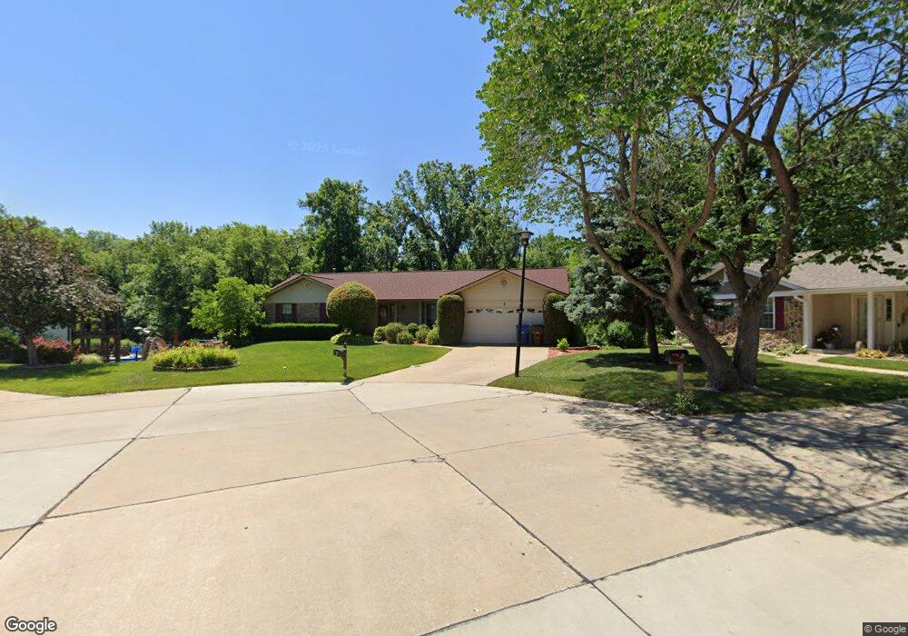
3 Outpost Ct Saint Peters, MO 63376
Estimated Value: $344,000 - $351,000
3
Beds
3
Baths
1,586
Sq Ft
$219/Sq Ft
Est. Value
About This Home
This home is located at 3 Outpost Ct, Saint Peters, MO 63376 and is currently estimated at $346,855, approximately $218 per square foot. 3 Outpost Ct is a home located in St. Charles County with nearby schools including Dr. Bernard J. Dubray Middle School, Fort Zumwalt East High School, and All Saints Catholic School.
Ownership History
Date
Name
Owned For
Owner Type
Purchase Details
Closed on
Aug 30, 2022
Sold by
David And Judy Liefeld Irrevocable Trust
Bought by
Liefeld Katherine
Current Estimated Value
Home Financials for this Owner
Home Financials are based on the most recent Mortgage that was taken out on this home.
Original Mortgage
$291,000
Outstanding Balance
$278,650
Interest Rate
5.54%
Mortgage Type
New Conventional
Estimated Equity
$68,205
Purchase Details
Closed on
Mar 25, 2014
Sold by
Liefeld David R and Liefeld Judith M
Bought by
Brown Katherine Amanda and The David & Judy Liefeld Irrev
Create a Home Valuation Report for This Property
The Home Valuation Report is an in-depth analysis detailing your home's value as well as a comparison with similar homes in the area
Home Values in the Area
Average Home Value in this Area
Purchase History
| Date | Buyer | Sale Price | Title Company |
|---|---|---|---|
| Liefeld Katherine | -- | None Listed On Document | |
| Brown Katherine Amanda | -- | None Available |
Source: Public Records
Mortgage History
| Date | Status | Borrower | Loan Amount |
|---|---|---|---|
| Open | Liefeld Katherine | $291,000 |
Source: Public Records
Tax History Compared to Growth
Tax History
| Year | Tax Paid | Tax Assessment Tax Assessment Total Assessment is a certain percentage of the fair market value that is determined by local assessors to be the total taxable value of land and additions on the property. | Land | Improvement |
|---|---|---|---|---|
| 2025 | $3,618 | $56,014 | -- | -- |
| 2023 | $3,615 | $50,714 | $0 | $0 |
| 2022 | $3,345 | $43,955 | $0 | $0 |
| 2021 | $3,340 | $43,955 | $0 | $0 |
| 2020 | $3,124 | $39,835 | $0 | $0 |
| 2019 | $3,117 | $39,835 | $0 | $0 |
| 2018 | $3,072 | $37,741 | $0 | $0 |
| 2017 | $3,058 | $37,741 | $0 | $0 |
| 2016 | $2,718 | $33,439 | $0 | $0 |
| 2015 | $2,545 | $33,439 | $0 | $0 |
| 2014 | $2,591 | $33,393 | $0 | $0 |
Source: Public Records
Map
Nearby Homes
- 622 Settlers Cir
- 104 Frontiers Edge Dr
- 568 Prairie Home Dr
- 763 Estes Park Dr
- 809 Estes Park Dr
- 747 Estes Park Dr
- 1844 Sterling Oaks Dr
- 7418 Mexico Rd #100 Rd
- 1533 Woodside Hills Dr
- 2013 Chestnut Pines Ct
- 1525 Woodside Hills Dr
- 2175 Orchid Blossom Ct
- 4 Green Pines Ct
- 320 Green Haven Dr
- 20 Churchill Downs Dr
- 1301 Fairview Glen Dr
- 59 Savannah Hill Dr
- 138 Rhythm Point Dr
- 26 Steeplechase Dr
- 1218 Emerald Gardens Dr
- 1 Outpost Ct
- 5 Outpost Ct
- 603 Settlers Cir
- 4 Outpost Ct
- 561 Pioneer Dr
- 605 Settlers Cir
- 602 Settlers Cir
- 600 Settlers Cir
- 560 Pioneer Dr
- 607 Settlers Cir
- 599 Prairie Home Dr
- 597 Prairie Home Dr
- 556 Pioneer Dr
- 557 Pioneer Dr
- 609 Settlers Cir
- 595 Prairie Home Dr
- 66 Devondale Place
- 64 Devondale Place
- 70 Devondale Place
- 62 Devondale Place