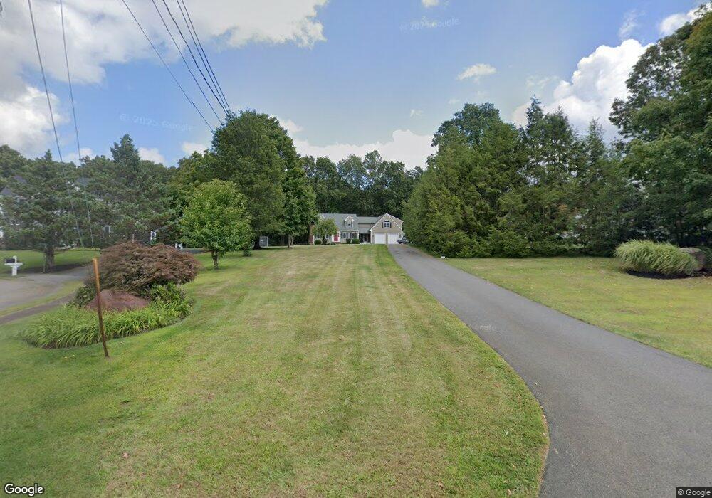
3 Pasture Ln Whitman, MA 02382
Estimated Value: $671,000 - $736,000
4
Beds
2
Baths
2,140
Sq Ft
$328/Sq Ft
Est. Value
About This Home
This home is located at 3 Pasture Ln, Whitman, MA 02382 and is currently estimated at $702,642, approximately $328 per square foot. 3 Pasture Ln is a home located in Plymouth County with nearby schools including St Bridget School.
Ownership History
Date
Name
Owned For
Owner Type
Purchase Details
Closed on
May 7, 1996
Sold by
Crosby Eva J
Bought by
Poirier Mark A and Godbout Stephanie A
Current Estimated Value
Purchase Details
Closed on
Apr 5, 1996
Sold by
Whitney Caroline E
Bought by
Crosby Eva J
Purchase Details
Closed on
Mar 14, 1996
Sold by
Knox Peter and Knox Gloria L
Bought by
Whitney Caroline E
Create a Home Valuation Report for This Property
The Home Valuation Report is an in-depth analysis detailing your home's value as well as a comparison with similar homes in the area
Home Values in the Area
Average Home Value in this Area
Purchase History
| Date | Buyer | Sale Price | Title Company |
|---|---|---|---|
| Poirier Mark A | $64,900 | -- | |
| Poirier Mark A | $64,900 | -- | |
| Crosby Eva J | $50,000 | -- | |
| Whitney Caroline E | $30,500 | -- |
Source: Public Records
Mortgage History
| Date | Status | Borrower | Loan Amount |
|---|---|---|---|
| Open | Whitney Caroline E | $147,000 | |
| Closed | Whitney Caroline E | $153,100 |
Source: Public Records
Tax History Compared to Growth
Tax History
| Year | Tax Paid | Tax Assessment Tax Assessment Total Assessment is a certain percentage of the fair market value that is determined by local assessors to be the total taxable value of land and additions on the property. | Land | Improvement |
|---|---|---|---|---|
| 2025 | $8,123 | $619,100 | $262,800 | $356,300 |
| 2024 | $7,234 | $567,800 | $257,900 | $309,900 |
| 2023 | $7,188 | $529,700 | $225,300 | $304,400 |
| 2022 | $7,114 | $488,600 | $205,000 | $283,600 |
| 2021 | $6,929 | $447,000 | $187,000 | $260,000 |
| 2020 | $6,861 | $432,900 | $181,400 | $251,500 |
| 2019 | $6,397 | $415,900 | $181,400 | $234,500 |
| 2018 | $6,220 | $388,500 | $170,100 | $218,400 |
| 2017 | $5,859 | $388,500 | $170,100 | $218,400 |
| 2016 | $5,672 | $363,800 | $164,500 | $199,300 |
| 2015 | $5,574 | $357,100 | $164,500 | $192,600 |
Source: Public Records
Map
Nearby Homes
- 55 Plymouth St Unit A5
- 684 South Ave
- 170 Pleasant St
- 131 Holly Ridge Dr
- 23 Reed Place
- 40 Lazel St
- 214 Winter St
- 608 Plymouth St
- 35 Dana St
- 1057 Whitman St
- 679 Plymouth St
- 8 Hayford Trail Unit 19
- 7 Hayford Trail Unit 12
- 5 Hayford Trail Unit 11
- 12 Hayford Trail Unit 17
- 22 Howland Trail Unit 34
- 13 Hayford Trail Unit 15
- 137 Peregrine Rd
- 14 Daniel Teague Dr
- 417 Birchbark Dr
- 4 Oakdale Farm Rd
- 2 Oakdale Farm Rd
- 6 Oakdale Farm Rd
- 5 Pasture Ln
- 25 Indian Trail
- 5 Oakdale Farm Rd
- 7 Oakdale Farm Rd
- 23 Indian Trail
- 9 Oakdale Farm Rd
- 3 Oakdale Farm Rd
- 6 Pasture Ln
- 2 Pasture Ln
- 27 Indian Trail
- 19 Indian Trail
- 4 Pasture Ln
- 199 Plymouth St
- 213 Plymouth St
- 187 Plymouth St
- 169 Plymouth St
- 15 Indian Trail