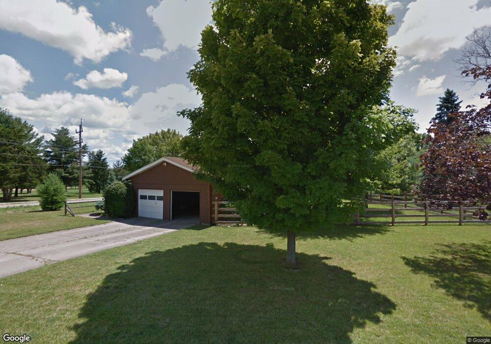
3 Patrick Dr Oxford, OH 45056
Estimated Value: $362,000 - $411,000
4
Beds
3
Baths
2,762
Sq Ft
$138/Sq Ft
Est. Value
About This Home
This home is located at 3 Patrick Dr, Oxford, OH 45056 and is currently estimated at $381,141, approximately $137 per square foot. 3 Patrick Dr is a home located in Butler County with nearby schools including Talawanda Middle School, Talawanda High School, and Mcguffey Montessori School.
Ownership History
Date
Name
Owned For
Owner Type
Purchase Details
Closed on
Jul 9, 2004
Sold by
Martin Ralph E and Martin Nancy L
Bought by
Gung Benjamin
Current Estimated Value
Home Financials for this Owner
Home Financials are based on the most recent Mortgage that was taken out on this home.
Original Mortgage
$149,600
Interest Rate
6.37%
Mortgage Type
Purchase Money Mortgage
Purchase Details
Closed on
Mar 22, 2002
Sold by
Doan Ronald N and Doan Vicki L
Bought by
Martin Ralph E and Martin Nancy L
Purchase Details
Closed on
Feb 19, 1996
Sold by
Elizabeth Cummings Est
Bought by
Doan Ronald N and Doan Vicki
Home Financials for this Owner
Home Financials are based on the most recent Mortgage that was taken out on this home.
Original Mortgage
$123,000
Interest Rate
7.07%
Mortgage Type
New Conventional
Create a Home Valuation Report for This Property
The Home Valuation Report is an in-depth analysis detailing your home's value as well as a comparison with similar homes in the area
Home Values in the Area
Average Home Value in this Area
Purchase History
| Date | Buyer | Sale Price | Title Company |
|---|---|---|---|
| Gung Benjamin | $187,000 | -- | |
| Martin Ralph E | $174,900 | -- | |
| Doan Ronald N | $133,000 | -- |
Source: Public Records
Mortgage History
| Date | Status | Borrower | Loan Amount |
|---|---|---|---|
| Closed | Gung Benjamin | $149,600 | |
| Previous Owner | Doan Ronald N | $123,000 |
Source: Public Records
Tax History Compared to Growth
Tax History
| Year | Tax Paid | Tax Assessment Tax Assessment Total Assessment is a certain percentage of the fair market value that is determined by local assessors to be the total taxable value of land and additions on the property. | Land | Improvement |
|---|---|---|---|---|
| 2024 | $3,816 | $103,520 | $16,330 | $87,190 |
| 2023 | $3,662 | $103,520 | $16,330 | $87,190 |
| 2022 | $2,883 | $74,220 | $16,330 | $57,890 |
| 2021 | $2,744 | $74,220 | $16,330 | $57,890 |
| 2020 | $2,870 | $74,220 | $16,330 | $57,890 |
| 2019 | $5,031 | $66,600 | $17,610 | $48,990 |
| 2018 | $2,716 | $66,600 | $17,610 | $48,990 |
| 2017 | $2,441 | $66,600 | $17,610 | $48,990 |
| 2016 | $2,317 | $61,180 | $17,610 | $43,570 |
| 2015 | $2,358 | $61,180 | $17,610 | $43,570 |
| 2014 | $2,814 | $61,180 | $17,610 | $43,570 |
| 2013 | $2,814 | $71,710 | $17,610 | $54,100 |
Source: Public Records
Map
Nearby Homes
- 1020 Tollgate Dr
- 7 Robin Ct
- 111 Prevalent Dr
- 6101 Contreras Rd
- 141 Prevalent Dr
- 6135 Fairfield Rd
- 4 Olde Stone Ct
- 509 White Oak Dr
- 446 Emerald Woods Dr
- 5285 College Corner Pike
- 215 Country Club Dr
- 5280 Hester Rd
- 620 Brill Dr
- 616 Brill Dr
- 107 Melanee Dr
- 9 Angela Ct
- 60 Autumn Dr
- 812 Winding Brook Dr
- 843 Dufour Ln
- 6 Autumn Dr
- 6 Patrick Dr
- 5 Patrick Dr
- 6285 Contreras Rd
- 9 Patrick Dr
- 7 Patrick Dr
- 15 Contreras Rd
- 14 Contreras Rd
- 12 Contreras Rd
- 13 Contreras Rd
- 11 Contreras Rd
- 20 Contreras Rd
- 22 Contreras Rd
- 19 Contreras Rd
- 2 Patrick Dr
- 8 Patrick Dr
- 6 Fieldcrest Dr
- 11 Patrick Dr
- 6294 Devonshire Dr
- 10 Patrick Dr
- 6284 Devonshire Dr