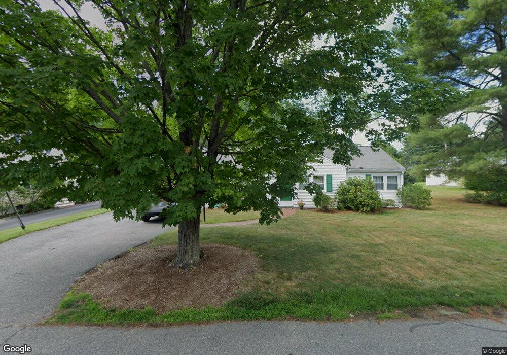
3 Payson Rd Natick, MA 01760
Estimated Value: $823,000 - $1,024,000
4
Beds
3
Baths
1,785
Sq Ft
$513/Sq Ft
Est. Value
About This Home
This home is located at 3 Payson Rd, Natick, MA 01760 and is currently estimated at $915,001, approximately $512 per square foot. 3 Payson Rd is a home located in Middlesex County with nearby schools including Natick High School, Wilson Middle School, and Bennett-Hemenway (Ben-Hem) Elementary School.
Ownership History
Date
Name
Owned For
Owner Type
Purchase Details
Closed on
Jul 19, 2023
Sold by
Doolan Timothy D and Doolan Karen M
Bought by
Dooan Ft and Doolan
Current Estimated Value
Purchase Details
Closed on
May 7, 1990
Sold by
Bassett Warren R
Bought by
Doolan Timothy D
Create a Home Valuation Report for This Property
The Home Valuation Report is an in-depth analysis detailing your home's value as well as a comparison with similar homes in the area
Home Values in the Area
Average Home Value in this Area
Purchase History
| Date | Buyer | Sale Price | Title Company |
|---|---|---|---|
| Dooan Ft | -- | None Available | |
| Doolan Timothy D | $156,500 | -- |
Source: Public Records
Mortgage History
| Date | Status | Borrower | Loan Amount |
|---|---|---|---|
| Previous Owner | Doolan Timothy D | $42,000 | |
| Previous Owner | Doolan Timothy D | $157,000 | |
| Previous Owner | Doolan Timothy D | $141,600 | |
| Previous Owner | Doolan Timothy D | $128,200 |
Source: Public Records
Tax History
| Year | Tax Paid | Tax Assessment Tax Assessment Total Assessment is a certain percentage of the fair market value that is determined by local assessors to be the total taxable value of land and additions on the property. | Land | Improvement |
|---|---|---|---|---|
| 2025 | $8,354 | $698,500 | $460,800 | $237,700 |
| 2024 | $8,066 | $657,900 | $435,200 | $222,700 |
| 2023 | $7,656 | $605,700 | $408,600 | $197,100 |
| 2022 | $7,406 | $555,200 | $372,000 | $183,200 |
| 2021 | $7,123 | $523,400 | $351,600 | $171,800 |
| 2020 | $6,915 | $508,100 | $336,300 | $171,800 |
| 2019 | $6,458 | $508,100 | $336,300 | $171,800 |
| 2018 | $5,940 | $455,200 | $305,800 | $149,400 |
| 2017 | $5,307 | $393,400 | $272,200 | $121,200 |
| 2016 | $5,120 | $377,300 | $257,200 | $120,100 |
| 2015 | $5,076 | $367,300 | $257,200 | $110,100 |
Source: Public Records
Map
Nearby Homes
- 41 Charles St
- 36 Winnemay St
- 7 Jackson Ct Unit B
- 27 2nd St
- 9 Bellevue Rd
- 293 Bacon St Unit A
- 20 Florence St Unit B
- 16 Harvard St
- 142 Bacon St
- 17 Florence St
- 49 Summer St
- 89 W Central St
- 63 Pond St
- 3 Vale St Unit A
- 53 Harvard Street Extension
- 3 Wilson St Unit 3B
- 12 Bay State Rd
- 4B Lincoln St Unit 4B
- 3A Wilson St Unit 3A
- 6A Lincoln St Unit 6A
- 1 Payson Rd
- 34 Charles St
- 36 Charles St
- 25 Kinsman Place
- 23 Park Ave
- 25 Park Ave
- 38 Charles St
- 23 Kinsman Place
- 27 Park Ave Unit 1
- 27 Park Ave Unit A
- 27 Park Ave
- 27 Park Ave Unit 1
- 27 Park Ave Unit 2
- 21 Park Ave
- 39 Charles St
- 40 Charles St
- 29 Park Ave
- 18 Kinsman Place
- 37 Charles St
- 37 Charles St Unit 1
Your Personal Tour Guide
Ask me questions while you tour the home.