Estimated Value: $1,051,000 - $1,381,677
4
Beds
3
Baths
4,312
Sq Ft
$284/Sq Ft
Est. Value
About This Home
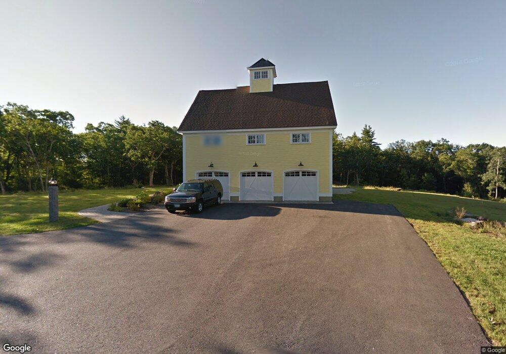
This home is located at 3 Pheasant Dr, Bow, NH 03304 and is currently estimated at $1,225,226, approximately $284 per square foot. 3 Pheasant Dr is a home with nearby schools including Bow Elementary School, Bow Memorial School, and Bow High School.
Ownership History
Date
Name
Owned For
Owner Type
Purchase Details
Closed on
Mar 19, 2007
Sold by
Williams Jeffrey B and Williams Betsy L
Bought by
Gazaway Wendy S
Current Estimated Value
Home Financials for this Owner
Home Financials are based on the most recent Mortgage that was taken out on this home.
Original Mortgage
$200,000
Interest Rate
6.4%
Mortgage Type
Purchase Money Mortgage
Create a Home Valuation Report for This Property
The Home Valuation Report is an in-depth analysis detailing your home's value as well as a comparison with similar homes in the area
Home Values in the Area
Average Home Value in this Area
Purchase History
| Date | Buyer | Sale Price | Title Company |
|---|---|---|---|
| Gazaway Wendy S | $250,000 | -- |
Source: Public Records
Mortgage History
| Date | Status | Borrower | Loan Amount |
|---|---|---|---|
| Open | Gazaway Wendy S | $50,000 | |
| Open | Gazaway Wendy S | $750,000 | |
| Closed | Gazaway Wendy S | $200,000 |
Source: Public Records
Tax History
| Year | Tax Paid | Tax Assessment Tax Assessment Total Assessment is a certain percentage of the fair market value that is determined by local assessors to be the total taxable value of land and additions on the property. | Land | Improvement |
|---|---|---|---|---|
| 2025 | $26,779 | $1,335,597 | $129,697 | $1,205,900 |
| 2024 | $26,418 | $1,335,597 | $129,697 | $1,205,900 |
| 2023 | $21,733 | $781,497 | $90,297 | $691,200 |
| 2022 | $20,725 | $781,497 | $90,297 | $691,200 |
| 2021 | $19,920 | $781,500 | $90,300 | $691,200 |
| 2020 | $20,016 | $782,490 | $91,290 | $691,200 |
| 2019 | $20,509 | $782,490 | $91,290 | $691,200 |
| 2018 | $18,722 | $673,933 | $83,733 | $590,200 |
| 2017 | $18,697 | $673,277 | $83,077 | $590,200 |
| 2016 | $17,747 | $675,047 | $84,847 | $590,200 |
| 2015 | $17,799 | $623,647 | $84,847 | $538,800 |
| 2014 | $18,404 | $623,637 | $84,837 | $538,800 |
| 2011 | $15,972 | $588,302 | $86,302 | $502,000 |
Source: Public Records
Map
Nearby Homes
- 1071 Montalona Rd
- 40 Dunbarton Center Rd
- 12 S Bow Rd
- 99 Brown Hill Rd
- 0 Brown Hill Rd Unit 5032600
- 37 Allen Rd
- 80 S Bow Rd
- 1 Bona Vista Dr
- 47 Bog Rd Unit G2
- 192 Grapevine Rd
- 30 Bow Bog Rd
- 68 White Rock Hill Rd
- 43 Hampshire Hills Dr
- 59 White Rock Hill Rd
- 15 Wheeler Rd
- 77 White Rock Hill Rd
- 244 Page Rd
- 111 Page Rd
- 8 Longview Dr
- 1003 School St
Your Personal Tour Guide
Ask me questions while you tour the home.