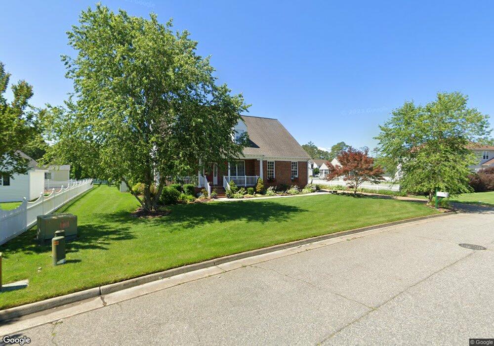
3 Pheasant Dr Poquoson, VA 23662
Poquoson West NeighborhoodEstimated Value: $586,829 - $674,000
4
Beds
3
Baths
2,655
Sq Ft
$233/Sq Ft
Est. Value
About This Home
This home is located at 3 Pheasant Dr, Poquoson, VA 23662 and is currently estimated at $618,707, approximately $233 per square foot. 3 Pheasant Dr is a home located in Poquoson City with nearby schools including Summit Christian Academy - Upper School.
Ownership History
Date
Name
Owned For
Owner Type
Purchase Details
Closed on
Sep 12, 2014
Sold by
Young Philip R and Young Lois A
Bought by
Young Tr Philip R and Young Tr Lois A
Current Estimated Value
Purchase Details
Closed on
Oct 30, 2002
Sold by
Hagley Builders Llc
Bought by
Young Philip R
Home Financials for this Owner
Home Financials are based on the most recent Mortgage that was taken out on this home.
Original Mortgage
$51,000
Interest Rate
6.09%
Mortgage Type
New Conventional
Create a Home Valuation Report for This Property
The Home Valuation Report is an in-depth analysis detailing your home's value as well as a comparison with similar homes in the area
Home Values in the Area
Average Home Value in this Area
Purchase History
| Date | Buyer | Sale Price | Title Company |
|---|---|---|---|
| Young Tr Philip R | -- | -- | |
| Young Philip R | $258,900 | -- |
Source: Public Records
Mortgage History
| Date | Status | Borrower | Loan Amount |
|---|---|---|---|
| Previous Owner | Young Philip R | $51,000 |
Source: Public Records
Tax History
| Year | Tax Paid | Tax Assessment Tax Assessment Total Assessment is a certain percentage of the fair market value that is determined by local assessors to be the total taxable value of land and additions on the property. | Land | Improvement |
|---|---|---|---|---|
| 2025 | $6,126 | $537,400 | $158,200 | $379,200 |
| 2024 | $5,660 | $496,500 | $117,500 | $379,000 |
| 2023 | $5,511 | $496,500 | $117,500 | $379,000 |
| 2022 | $4,938 | $437,000 | $117,500 | $319,500 |
| 2021 | $4,938 | $437,000 | $117,500 | $319,500 |
| 2020 | $0 | $393,600 | $117,500 | $276,100 |
| 2019 | -- | $393,600 | $117,500 | $276,100 |
| 2018 | -- | $378,500 | $117,500 | $261,000 |
| 2017 | -- | $355,100 | $115,200 | $239,900 |
| 2016 | -- | $355,100 | $115,200 | $239,900 |
| 2015 | -- | $344,600 | $115,200 | $229,400 |
| 2013 | -- | $344,600 | $115,200 | $229,400 |
Source: Public Records
Map
Nearby Homes
- 50 Forrest Rd
- 812 Poquoson Ave
- 8 White House Dr
- 1020 Poquoson Ave Unit C
- 9 Rhodelia Ln
- 21 Rens Rd
- 8.5AC Poquoson Ave
- 105 Rens Rd Unit 74
- 105 Rens Rd Unit 2
- 216 Little Florida Rd
- 56 N Lawson Rd
- 106 Blue Crab Dr
- 104 Blue Crab Dr
- 54 N Lawson Rd
- 50 N Lawson Rd
- 52 N Lawson Rd
- 197 Cedar Rd
- 165 Little Florida Rd
- 6 Canal Dr
- 718C Poquoson Ave
Your Personal Tour Guide
Ask me questions while you tour the home.