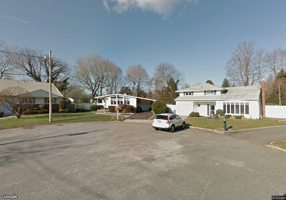
3 Philip Ct Huntington Station, NY 11746
Estimated Value: $685,451 - $731,000
3
Beds
2
Baths
--
Sq Ft
6,970
Sq Ft Lot
About This Home
This home is located at 3 Philip Ct, Huntington Station, NY 11746 and is currently estimated at $702,363. 3 Philip Ct is a home located in Suffolk County with nearby schools including Woodhull Intermediate School, Washington School, and J Taylor Finley Middle School.
Ownership History
Date
Name
Owned For
Owner Type
Purchase Details
Closed on
Mar 27, 2014
Sold by
Boremski Mark and Boremski Janis
Bought by
Gaitan Omar and Nakevska Jasmina
Current Estimated Value
Home Financials for this Owner
Home Financials are based on the most recent Mortgage that was taken out on this home.
Original Mortgage
$284,000
Outstanding Balance
$151,623
Interest Rate
4.26%
Mortgage Type
New Conventional
Estimated Equity
$550,740
Purchase Details
Closed on
Feb 14, 2008
Sold by
Licameli Thomas
Bought by
Boremski Mark
Purchase Details
Closed on
Sep 20, 1994
Sold by
Lupinacci Susan
Bought by
Licameli Thomas and Licameli Karen
Create a Home Valuation Report for This Property
The Home Valuation Report is an in-depth analysis detailing your home's value as well as a comparison with similar homes in the area
Home Values in the Area
Average Home Value in this Area
Purchase History
| Date | Buyer | Sale Price | Title Company |
|---|---|---|---|
| Gaitan Omar | $355,000 | -- | |
| Boremski Mark | $350,000 | John P Rosenblatt | |
| Licameli Thomas | $143,000 | American Title Insurance Co |
Source: Public Records
Mortgage History
| Date | Status | Borrower | Loan Amount |
|---|---|---|---|
| Open | Gaitan Omar | $284,000 |
Source: Public Records
Tax History Compared to Growth
Tax History
| Year | Tax Paid | Tax Assessment Tax Assessment Total Assessment is a certain percentage of the fair market value that is determined by local assessors to be the total taxable value of land and additions on the property. | Land | Improvement |
|---|---|---|---|---|
| 2024 | $9,561 | $2,730 | $200 | $2,530 |
| 2023 | $4,780 | $2,730 | $200 | $2,530 |
| 2022 | $9,454 | $2,730 | $200 | $2,530 |
| 2021 | $9,337 | $2,730 | $200 | $2,530 |
| 2020 | $9,218 | $2,730 | $200 | $2,530 |
| 2019 | $18,436 | $0 | $0 | $0 |
| 2018 | $8,651 | $2,730 | $200 | $2,530 |
| 2017 | $8,651 | $2,730 | $200 | $2,530 |
| 2016 | $8,542 | $2,730 | $200 | $2,530 |
| 2015 | -- | $2,730 | $200 | $2,530 |
| 2014 | -- | $2,800 | $200 | $2,600 |
Source: Public Records
Map
Nearby Homes
- 12 Foxdale Ct
- 217 Broadway
- 71 Biltmore Cir
- 12 Canyon St
- 62 Lowndes Ave
- 148 Lenox Rd
- 22 Meadowood Ct
- 98 Woodhull Rd
- 2202 Townhome Way
- 11 Spring Ct
- 26 Townhouse Rd S Unit 26
- 200 Lowndes Ave Unit A
- 280 Lowndes Ave Unit 208
- 280 Lowndes Ave Unit 305G
- 280 Lowndes Ave Unit 111G
- 2 Spring Ct
- 78 Hayloft Ct
- 634 Park Ave
- 0 Tower St
- 49 Tower St