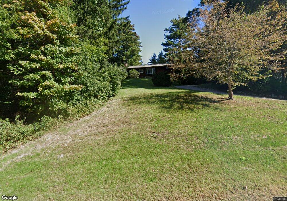
3 Pine Ridge Ln Unit 2A Mansfield Center, CT 06250
Estimated Value: $404,212 - $468,000
4
Beds
3
Baths
1,970
Sq Ft
$225/Sq Ft
Est. Value
About This Home
This home is located at 3 Pine Ridge Ln Unit 2A, Mansfield Center, CT 06250 and is currently estimated at $443,803, approximately $225 per square foot. 3 Pine Ridge Ln Unit 2A is a home located in Tolland County with nearby schools including Mansfield Elementary School, Annie E. Vinton School, and E.O. Smith High School.
Ownership History
Date
Name
Owned For
Owner Type
Purchase Details
Closed on
Jul 22, 2021
Sold by
Laguardia Lynne M
Bought by
Alasad Dhiya
Current Estimated Value
Purchase Details
Closed on
Nov 17, 1998
Sold by
Karp Jeffrey and Karp Sandra
Bought by
Shaw Robert and Shaw Dorothy
Purchase Details
Closed on
Jul 1, 1993
Sold by
Papineau Emile E and Papineau Florence M
Bought by
Karp Jeffery H
Create a Home Valuation Report for This Property
The Home Valuation Report is an in-depth analysis detailing your home's value as well as a comparison with similar homes in the area
Home Values in the Area
Average Home Value in this Area
Purchase History
| Date | Buyer | Sale Price | Title Company |
|---|---|---|---|
| Alasad Dhiya | $40,000 | None Available | |
| Alasad Dhiya | $40,000 | None Available | |
| Shaw Robert | $170,000 | -- | |
| Shaw Robert | $170,000 | -- | |
| Karp Jeffery H | $192,500 | -- | |
| Karp Jeffery H | $192,500 | -- |
Source: Public Records
Mortgage History
| Date | Status | Borrower | Loan Amount |
|---|---|---|---|
| Previous Owner | Karp Jeffery H | $236,000 | |
| Previous Owner | Karp Jeffery H | $573,000 |
Source: Public Records
Tax History Compared to Growth
Tax History
| Year | Tax Paid | Tax Assessment Tax Assessment Total Assessment is a certain percentage of the fair market value that is determined by local assessors to be the total taxable value of land and additions on the property. | Land | Improvement |
|---|---|---|---|---|
| 2025 | $5,600 | $280,000 | $43,500 | $236,500 |
| 2024 | $5,774 | $189,200 | $41,000 | $148,200 |
| 2023 | $5,964 | $189,200 | $41,000 | $148,200 |
| 2022 | $5,748 | $189,200 | $41,000 | $148,200 |
| 2021 | $5,937 | $189,200 | $41,000 | $148,200 |
| 2020 | $5,937 | $189,200 | $41,000 | $148,200 |
| 2019 | $6,072 | $193,500 | $43,100 | $150,400 |
| 2018 | $5,975 | $193,500 | $43,100 | $150,400 |
| 2017 | $5,927 | $193,500 | $43,100 | $150,400 |
| 2016 | $5,780 | $193,500 | $43,100 | $150,400 |
| 2015 | $5,780 | $193,500 | $43,100 | $150,400 |
| 2014 | $5,510 | $197,120 | $47,110 | $150,010 |
Source: Public Records
Map
Nearby Homes
- 31 Adeline Place
- 54 Meadowbrook Ln
- 19 Eastbrook Heights Unit C
- 39 Jacobs Hill Rd
- 2 Pequot Square Unit 2
- 23 Liberty Dr Unit 23
- 28 Circle Dr
- 23 Circle Dr
- 0 Storrs Rd Unit 2 170571015
- 17 Jacqueline Ln
- 23 Pond Way
- 408 Storrs Rd
- 412 Storrs Rd
- 5 Woods Way Unit WOOD005
- 33 Woods Way Unit WOOD033
- 59 Lynwood Dr
- 399 High St
- 27 Aspen Place
- 295 Jackson St
- 0 Mansfield City Rd Unit LOT 2
- 3 Pine Ridge Ln
- 3 Pine Ridge Ln
- 7 Pine Ridge Ln
- 75 Puddin Ln
- 4 Pine Ridge Ln
- 2 Pine Ridge Ln
- 34/98/2A Pine Ridge Ln
- 0 Pine Ridge Ln Unit LOT 2A
- 95 Puddin Ln
- 16 Pine Ridge Ln
- 76 Puddin Ln
- 69 Puddin Ln
- 21 Pine Ridge Ln
- 86 Puddin Ln
- 10 Pine Ridge Ln
- 22 Pine Ridge Ln
- 9 Sawmill Brook Ln
- 25 Pine Ridge Ln
- 64 Puddin Ln
- 15 Sawmill Brook Ln