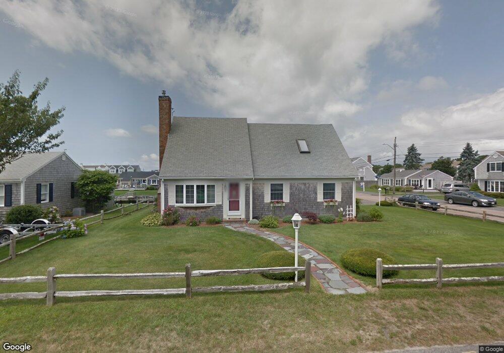
3 Port Way West Dennis, MA 02670
West Dennis NeighborhoodEstimated Value: $1,665,000 - $1,844,000
3
Beds
3
Baths
1,986
Sq Ft
$890/Sq Ft
Est. Value
About This Home
This home is located at 3 Port Way, West Dennis, MA 02670 and is currently estimated at $1,767,421, approximately $889 per square foot. 3 Port Way is a home located in Barnstable County with nearby schools including Dennis-Yarmouth Regional High School and St. Pius X. School.
Ownership History
Date
Name
Owned For
Owner Type
Purchase Details
Closed on
Sep 18, 2009
Sold by
Leavitt Carol M
Bought by
Leavitt Carol M and Leavitt William M
Current Estimated Value
Create a Home Valuation Report for This Property
The Home Valuation Report is an in-depth analysis detailing your home's value as well as a comparison with similar homes in the area
Home Values in the Area
Average Home Value in this Area
Purchase History
| Date | Buyer | Sale Price | Title Company |
|---|---|---|---|
| Leavitt Carol M | -- | -- | |
| Leavitt Carol M | -- | -- |
Source: Public Records
Mortgage History
| Date | Status | Borrower | Loan Amount |
|---|---|---|---|
| Previous Owner | Leavitt Carol M | $97,000 |
Source: Public Records
Tax History Compared to Growth
Tax History
| Year | Tax Paid | Tax Assessment Tax Assessment Total Assessment is a certain percentage of the fair market value that is determined by local assessors to be the total taxable value of land and additions on the property. | Land | Improvement |
|---|---|---|---|---|
| 2025 | $6,967 | $1,608,900 | $1,019,700 | $589,200 |
| 2024 | $6,801 | $1,549,100 | $980,700 | $568,400 |
| 2023 | $6,578 | $1,408,500 | $891,500 | $517,000 |
| 2022 | $5,216 | $931,400 | $550,700 | $380,700 |
| 2021 | $5,243 | $869,500 | $539,900 | $329,600 |
| 2020 | $5,189 | $850,700 | $539,900 | $310,800 |
| 2019 | $5,000 | $810,300 | $529,300 | $281,000 |
| 2018 | $5,364 | $846,100 | $577,400 | $268,700 |
| 2017 | $5,130 | $834,200 | $556,300 | $277,900 |
| 2016 | $5,490 | $840,700 | $603,600 | $237,100 |
| 2015 | $5,380 | $840,700 | $603,600 | $237,100 |
| 2014 | $5,291 | $833,200 | $603,600 | $229,600 |
Source: Public Records
Map
Nearby Homes
- 2 Rita Mary Way
- 14 Schoolhouse Ln
- 178 School St
- 209 Main St Unit 3
- 209 Main St Unit 6
- 209 Main St Unit 1
- 209 Main St Unit 2
- 209 Main St Unit 4
- 209 Main St Unit 5
- 23 Doric Ave
- 181 Pleasant St
- 308 Old Main St
- 401 Main St Unit 201
- 401 Main St Unit 101
- 45 Seth Ln
- 40 Kelley Rd
- 467 Main St
- 745 Willow St
- 29 Bass River Rd
- 6 Baker Way