3 River Rd Unit A Mattapoisett, MA 02739
Estimated Value: $341,617 - $546,000
2
Beds
1
Bath
1,150
Sq Ft
$365/Sq Ft
Est. Value
About This Home
This home is located at 3 River Rd Unit A, Mattapoisett, MA 02739 and is currently estimated at $419,904, approximately $365 per square foot. 3 River Rd Unit A is a home located in Plymouth County with nearby schools including Center School, Old Hammondtown Elementary, and Old Rochester Regional High School.
Ownership History
Date
Name
Owned For
Owner Type
Purchase Details
Closed on
Jan 2, 2001
Sold by
Decas Nicholas E and Decas Gregory
Bought by
Wyse Frederick C
Current Estimated Value
Home Financials for this Owner
Home Financials are based on the most recent Mortgage that was taken out on this home.
Original Mortgage
$80,000
Interest Rate
7.7%
Mortgage Type
Purchase Money Mortgage
Create a Home Valuation Report for This Property
The Home Valuation Report is an in-depth analysis detailing your home's value as well as a comparison with similar homes in the area
Home Values in the Area
Average Home Value in this Area
Purchase History
| Date | Buyer | Sale Price | Title Company |
|---|---|---|---|
| Wyse Frederick C | $100,000 | -- | |
| Wyse Frederick C | $100,000 | -- |
Source: Public Records
Mortgage History
| Date | Status | Borrower | Loan Amount |
|---|---|---|---|
| Open | Wyse Frederick C | $125,000 | |
| Closed | Wyse Frederick C | $80,000 | |
| Closed | Wyse Frederick C | $10,000 |
Source: Public Records
Tax History Compared to Growth
Tax History
| Year | Tax Paid | Tax Assessment Tax Assessment Total Assessment is a certain percentage of the fair market value that is determined by local assessors to be the total taxable value of land and additions on the property. | Land | Improvement |
|---|---|---|---|---|
| 2025 | $2,809 | $261,100 | $0 | $261,100 |
| 2024 | $2,744 | $261,100 | $0 | $261,100 |
| 2023 | $2,975 | $264,400 | $0 | $264,400 |
| 2022 | $3,250 | $262,100 | $0 | $262,100 |
| 2021 | $3,320 | $256,200 | $0 | $256,200 |
| 2020 | $2,699 | $200,100 | $0 | $200,100 |
| 2019 | $2,643 | $200,100 | $0 | $200,100 |
| 2018 | $2,583 | $198,400 | $0 | $198,400 |
| 2017 | $2,593 | $198,400 | $0 | $198,400 |
| 2016 | $2,619 | $198,400 | $0 | $198,400 |
| 2015 | $2,427 | $186,700 | $0 | $186,700 |
| 2014 | $2,071 | $162,800 | $0 | $162,800 |
Source: Public Records
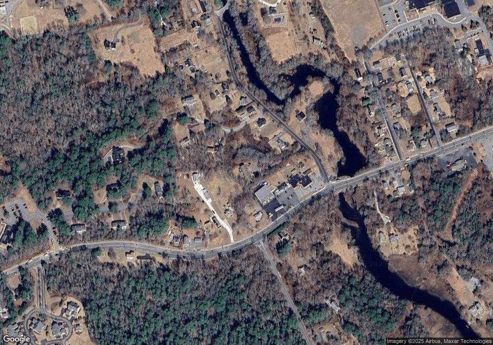
Map
Nearby Homes
- 83 Fairhaven Rd
- 3 Brandt Island Rd
- 47 Fairhaven Rd
- 421 Huttleston Ave
- 20 Forestview Dr
- 0 Whalers Way
- 7 Pearl St
- 9 Hitching Post Rd
- 41 Starboard Way
- 1 Starboard Way
- 13 Park Place
- 35 North St
- 8 Captains Ln
- 11 Captains Ln
- 6 Meadowbrook Ln
- 0 Harbor Acres Ln - Lot B
- 0 Marina Dr Unit 72497908
- 0 Marina Dr Unit 72497877
- 312 New Boston Rd
- 15 Ned's Point Rd
- 3 River Rd Unit D
- 3 River Rd Unit C
- 3 River Rd Unit B
- 1 Fairhaven Rd Unit 3
- 1 Fairhaven Rd Unit 4
- 1 Fairhaven Rd Unit 2
- 1 Fairhaven Rd Unit 1
- 2 Appaloosa Ln
- 2 Appaloosa Ln
- Lot 1 Appaloosa Ln
- 0 Mattapoisett Neck Rd Unit 72308583
- 0 Mattapoisett Neck Rd Unit 71760386
- 0 Mattapoisett Neck Rd Unit 71885116
- 0 Mattapoisett Neck Rd Unit 72497112
- 85 Fairhaven Rd
- 5 River Rd
- 77 Fairhaven Rd
- 87 Fairhaven Rd
- 11 River Rd
- 89 Fairhaven Rd