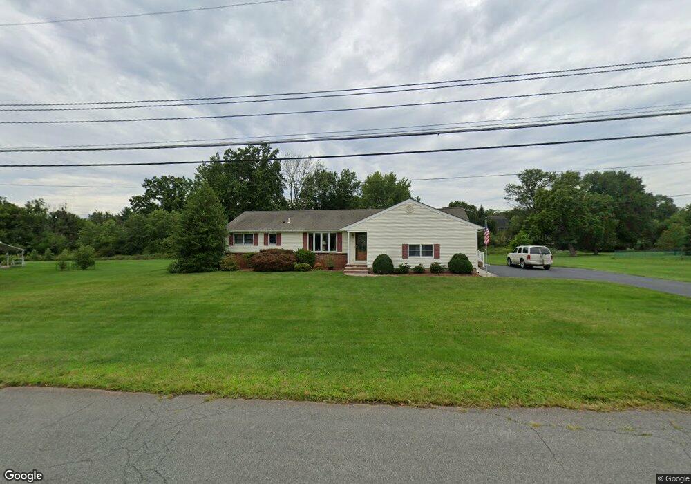
3 Rolland Dr Branchburg, NJ 08876
Branchburg Township NeighborhoodEstimated Value: $470,000 - $658,000
--
Bed
--
Bath
1,872
Sq Ft
$318/Sq Ft
Est. Value
About This Home
This home is located at 3 Rolland Dr, Branchburg, NJ 08876 and is currently estimated at $594,532, approximately $317 per square foot. 3 Rolland Dr is a home located in Somerset County with nearby schools including Whiton Elementary School, Stony Brook School, and Branchburg Central Middle School.
Ownership History
Date
Name
Owned For
Owner Type
Purchase Details
Closed on
Feb 12, 2020
Sold by
Corbo John and Corbo Carla
Bought by
Corbo John and Corbo Carla Anne
Current Estimated Value
Purchase Details
Closed on
Jan 10, 1995
Sold by
Clara San Giovanni
Bought by
Corbo Clara and Corbo John
Create a Home Valuation Report for This Property
The Home Valuation Report is an in-depth analysis detailing your home's value as well as a comparison with similar homes in the area
Home Values in the Area
Average Home Value in this Area
Purchase History
| Date | Buyer | Sale Price | Title Company |
|---|---|---|---|
| Corbo John | -- | None Available | |
| Corbo Clara | $200,000 | -- |
Source: Public Records
Tax History Compared to Growth
Tax History
| Year | Tax Paid | Tax Assessment Tax Assessment Total Assessment is a certain percentage of the fair market value that is determined by local assessors to be the total taxable value of land and additions on the property. | Land | Improvement |
|---|---|---|---|---|
| 2025 | $9,260 | $560,400 | $164,300 | $396,100 |
| 2024 | $9,260 | $513,300 | $164,300 | $349,000 |
| 2023 | $8,983 | $480,100 | $164,300 | $315,800 |
| 2022 | $8,965 | $455,300 | $164,300 | $291,000 |
| 2021 | $9,052 | $428,200 | $164,300 | $263,900 |
| 2020 | $8,968 | $418,500 | $164,300 | $254,200 |
| 2019 | $8,833 | $409,900 | $164,300 | $245,600 |
| 2018 | $8,670 | $401,200 | $156,300 | $244,900 |
| 2017 | $8,543 | $392,600 | $151,300 | $241,300 |
| 2016 | $8,401 | $383,600 | $141,300 | $242,300 |
| 2015 | $8,243 | $377,100 | $136,300 | $240,800 |
| 2014 | $8,221 | $380,600 | $136,300 | $244,300 |
Source: Public Records
Map
Nearby Homes
- 1135 State Route 28
- 1114 State Route 28
- 2 Eckles Dr
- 61 Waugh Ct
- 2 Dumont Ct
- 596 Meadow Rd
- 3366 Round Hill Rd
- 319 Hannah Way
- 40 France Dr
- 684 N View Dr
- 265 Riverview Dr
- 3366 Us Highway 22
- 248 Carol Jean Way
- 48 Reinhart Way
- 507 Dunn Cir
- 351 Route 28
- 4101 Dilts Ln
- 43 Wexford Way
- 19 Craft Farm Dr
- 4703 Patterson St Unit 47
- 1 Rolland Dr
- 5 Rolland Dr
- 2 Rolland Dr
- 1115 State Route 28
- 4 Rolland Dr
- 1107 State Route 28
- 1125 State Route 28
- 7 Rolland Dr
- 1103 State Route 28
- 6 Rolland Dr
- 16 Burnt Mill Rd
- 20 Burnt Mill Rd
- 34 Burnt Mill Rd
- 9 Burnt Mill Rd
- 9 Rolland Dr
- 8 Rolland Dr
- 41 Burnt Mill Rd
- 10 Burnt Mill Rd
- 1100 State Route 28 Unit 1104
- 1100-1104 New Jersey 28