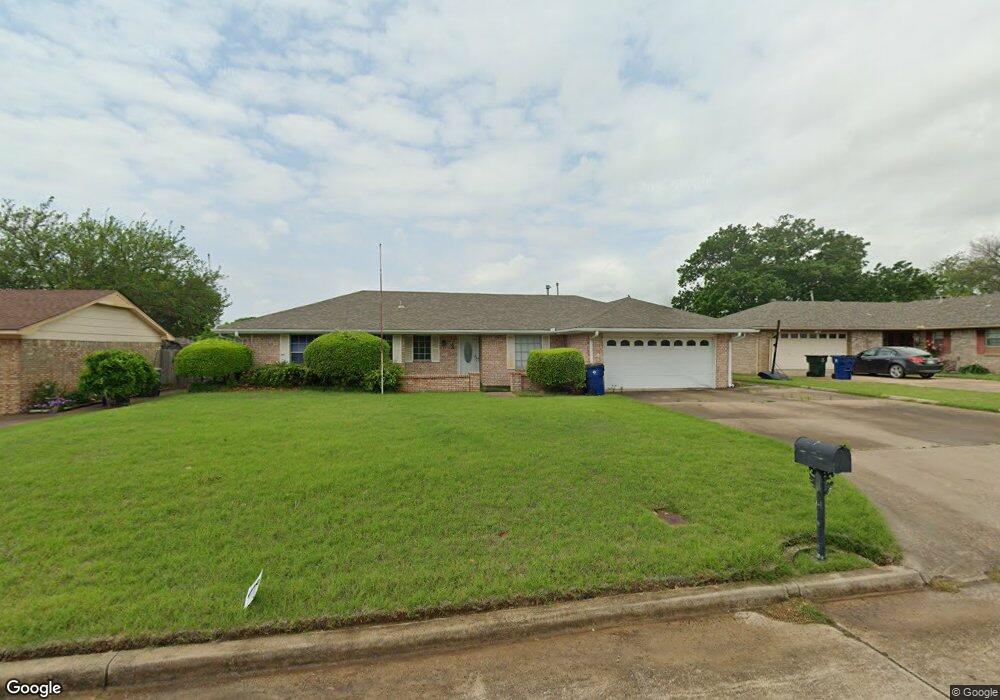
3 S 29th St Duncan, OK 73533
Estimated Value: $161,374 - $170,000
3
Beds
2
Baths
1,552
Sq Ft
$107/Sq Ft
Est. Value
About This Home
This home is located at 3 S 29th St, Duncan, OK 73533 and is currently estimated at $166,344, approximately $107 per square foot. 3 S 29th St is a home located in Stephens County with nearby schools including Mark Twain Elementary School, Duncan Middle School, and Duncan High School.
Ownership History
Date
Name
Owned For
Owner Type
Purchase Details
Closed on
Dec 22, 2010
Sold by
Smith Patricia J
Bought by
Rogers Mattew D
Current Estimated Value
Home Financials for this Owner
Home Financials are based on the most recent Mortgage that was taken out on this home.
Original Mortgage
$73,000
Interest Rate
4.36%
Mortgage Type
Purchase Money Mortgage
Purchase Details
Closed on
Dec 10, 2004
Sold by
Payne Floyd Rev Tr
Purchase Details
Closed on
Jun 20, 2001
Sold by
Payne Floyd
Create a Home Valuation Report for This Property
The Home Valuation Report is an in-depth analysis detailing your home's value as well as a comparison with similar homes in the area
Home Values in the Area
Average Home Value in this Area
Purchase History
| Date | Buyer | Sale Price | Title Company |
|---|---|---|---|
| Rogers Mattew D | $83,000 | None Available | |
| -- | -- | -- | |
| -- | -- | -- |
Source: Public Records
Mortgage History
| Date | Status | Borrower | Loan Amount |
|---|---|---|---|
| Closed | Rogers Mattew D | $73,000 |
Source: Public Records
Tax History Compared to Growth
Tax History
| Year | Tax Paid | Tax Assessment Tax Assessment Total Assessment is a certain percentage of the fair market value that is determined by local assessors to be the total taxable value of land and additions on the property. | Land | Improvement |
|---|---|---|---|---|
| 2025 | $938 | $12,372 | $1,118 | $11,254 |
| 2024 | $938 | $12,012 | $1,093 | $10,919 |
| 2023 | $938 | $12,012 | $1,094 | $10,918 |
| 2022 | $878 | $11,662 | $1,092 | $10,570 |
| 2021 | $879 | $11,322 | $1,097 | $10,225 |
| 2020 | $835 | $10,673 | $1,074 | $9,599 |
| 2019 | $810 | $10,361 | $1,055 | $9,306 |
| 2018 | $807 | $10,362 | $1,041 | $9,321 |
| 2017 | $754 | $10,060 | $1,030 | $9,030 |
| 2016 | $721 | $9,483 | $1,010 | $8,473 |
| 2015 | $712 | $9,207 | $1,000 | $8,207 |
| 2014 | $712 | $8,938 | $990 | $7,948 |
Source: Public Records
Map
Nearby Homes
- 106 Emery Rd
- 206 N 28th St
- 210 210 N 31st St
- 0 W Beech Ave
- 201 N 23rd St
- 2110 W Main St
- 209 N 22nd St
- 210 N 22nd St
- 2108 Ave
- 1244 Carriage Dr
- 2011 2011 W Oak Ave
- 2006 W Oak Ave
- 507 N Alice Dr
- 2210 Western Dr
- 1359 Smith Rd
- 1385 Smith Rd
- 625 Westview Rd
- 174831 N 2844 Rd
- 1812 W Walnut Ave
- 2230 W Spruce St