3 Sandy Way Gloucester, MA 01930
West Gloucester NeighborhoodEstimated Value: $1,966,000 - $2,848,000
4
Beds
4
Baths
3,200
Sq Ft
$716/Sq Ft
Est. Value
About This Home
This home is located at 3 Sandy Way, Gloucester, MA 01930 and is currently estimated at $2,289,879, approximately $715 per square foot. 3 Sandy Way is a home located in Essex County with nearby schools including West Parish, Ralph B O'maley Middle School, and Gloucester High School.
Ownership History
Date
Name
Owned For
Owner Type
Purchase Details
Closed on
Mar 2, 2023
Sold by
Sharrio Anthony J and Sharrio Donna M
Bought by
Donna M Sharrio T
Current Estimated Value
Purchase Details
Closed on
May 18, 2010
Sold by
Ambeliotis Nicholas M and Ambeliotis Elizabeth
Bought by
Sharrio Anthony J and Sharrio Donna M
Home Financials for this Owner
Home Financials are based on the most recent Mortgage that was taken out on this home.
Original Mortgage
$350,000
Interest Rate
5.11%
Mortgage Type
Purchase Money Mortgage
Purchase Details
Closed on
Apr 2, 2003
Sold by
Hopkins Gerauld L and Hopkins Do
Bought by
Ambeliotis Nicholas M and Ambeliotis Elizabeth B
Purchase Details
Closed on
Aug 11, 1989
Sold by
Sandy Way Tr
Bought by
Hopkins Gerald
Create a Home Valuation Report for This Property
The Home Valuation Report is an in-depth analysis detailing your home's value as well as a comparison with similar homes in the area
Home Values in the Area
Average Home Value in this Area
Purchase History
| Date | Buyer | Sale Price | Title Company |
|---|---|---|---|
| Donna M Sharrio T | -- | None Available | |
| Sharrio Anthony J | $845,000 | -- | |
| Ambeliotis Nicholas M | $805,000 | -- | |
| Hopkins Gerauld L | -- | -- | |
| Hopkins Gerald | $535,000 | -- |
Source: Public Records
Mortgage History
| Date | Status | Borrower | Loan Amount |
|---|---|---|---|
| Previous Owner | Hopkins Gerald | $300,000 | |
| Previous Owner | Hopkins Gerald | $350,000 | |
| Previous Owner | Hopkins Gerald | $50,000 |
Source: Public Records
Tax History
| Year | Tax Paid | Tax Assessment Tax Assessment Total Assessment is a certain percentage of the fair market value that is determined by local assessors to be the total taxable value of land and additions on the property. | Land | Improvement |
|---|---|---|---|---|
| 2025 | $17,653 | $1,816,200 | $996,200 | $820,000 |
| 2024 | $16,513 | $1,697,100 | $948,900 | $748,200 |
| 2023 | $15,221 | $1,437,300 | $809,600 | $627,700 |
| 2022 | $14,692 | $1,252,500 | $704,300 | $548,200 |
| 2021 | $13,015 | $1,046,200 | $546,700 | $499,500 |
| 2020 | $13,093 | $1,061,900 | $546,700 | $515,200 |
| 2019 | $13,308 | $1,048,700 | $521,200 | $527,500 |
| 2018 | $12,470 | $964,400 | $508,500 | $455,900 |
| 2017 | $12,392 | $939,500 | $484,200 | $455,300 |
| 2016 | $11,986 | $880,700 | $463,100 | $417,600 |
| 2015 | $10,826 | $793,100 | $452,600 | $340,500 |
Source: Public Records
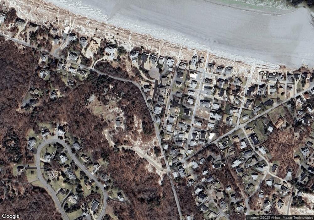
Map
Nearby Homes
- 226 Atlantic St
- 178 Atlantic St
- 167 Atlantic St
- 2 Breezy Point Rd
- 672 Washington St
- 13 Honeysuckle Rd
- 3 Deacon Farm Ln
- 7 Colburn St
- 31 Echo Ave
- 7 Leaman Dr
- 1030 Washington St
- 5 Samoset Rd Unit B
- 43 High St Unit B
- 13 Mystic Ave
- 8 Mystic Ave
- 368 Essex Ave
- 6 Monroe Ct
- 145 Essex Ave Unit 402
- 24 Cobblestone Ln Unit 603
- 5 Lepage Ln
- 5 Sandy Way
- 1 Sandy Way
- 9 Bayle Ln
- 7 Bayle Ln
- 11 Bayle Ln
- 5 Bayle Ln
- 7 Sandy Way
- 2 Sandy Way
- 13 Bayle Ln
- 3 Bayle Ln
- 16 Sleepy Hollow Rd
- 10 Sleepy Hollow Rd
- 18 Sleepy Hollow Rd
- 8 Sleepy Hollow Rd
- 15 Bayle Ln
- 22 Sleepy Hollow Rd
- 53 Atlantic Ave
- 6 Sleepy Hollow Rd
- 7 Sleepy Hollow Rd
- 24 Sleepy Hollow Rd
Your Personal Tour Guide
Ask me questions while you tour the home.