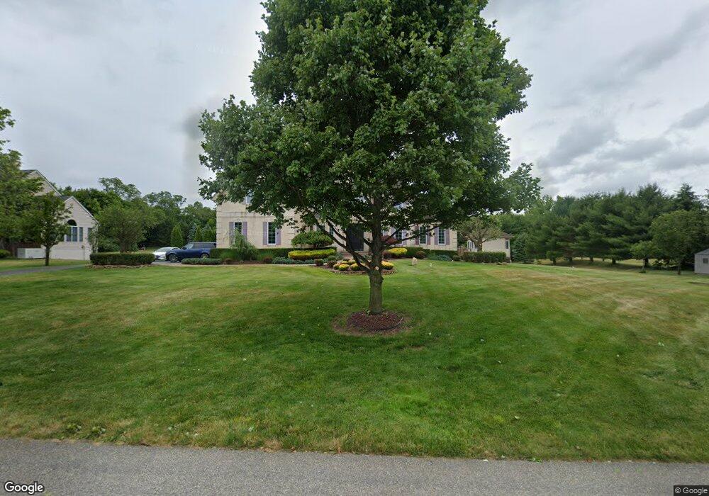
3 Scotto Farm Ln Millstone Township, NJ 08535
Estimated Value: $1,201,000 - $1,399,000
4
Beds
4
Baths
4,108
Sq Ft
$313/Sq Ft
Est. Value
About This Home
This home is located at 3 Scotto Farm Ln, Millstone Township, NJ 08535 and is currently estimated at $1,286,827, approximately $313 per square foot. 3 Scotto Farm Ln is a home located in Monmouth County with nearby schools including Millstone Township Primary School, Millstone Township Elementary School, and Millstone Township Middle School.
Ownership History
Date
Name
Owned For
Owner Type
Purchase Details
Closed on
Jun 25, 2003
Sold by
Centex Homes Llc
Bought by
Conaghan Sean and Conaghan Jacqueline
Current Estimated Value
Home Financials for this Owner
Home Financials are based on the most recent Mortgage that was taken out on this home.
Original Mortgage
$375,000
Outstanding Balance
$159,014
Interest Rate
5.34%
Estimated Equity
$1,127,813
Create a Home Valuation Report for This Property
The Home Valuation Report is an in-depth analysis detailing your home's value as well as a comparison with similar homes in the area
Home Values in the Area
Average Home Value in this Area
Purchase History
| Date | Buyer | Sale Price | Title Company |
|---|---|---|---|
| Conaghan Sean | $601,680 | -- |
Source: Public Records
Mortgage History
| Date | Status | Borrower | Loan Amount |
|---|---|---|---|
| Open | Conaghan Sean | $375,000 |
Source: Public Records
Tax History Compared to Growth
Tax History
| Year | Tax Paid | Tax Assessment Tax Assessment Total Assessment is a certain percentage of the fair market value that is determined by local assessors to be the total taxable value of land and additions on the property. | Land | Improvement |
|---|---|---|---|---|
| 2025 | $17,563 | $801,200 | $210,300 | $590,900 |
| 2024 | $18,223 | $733,300 | $181,800 | $551,500 |
| 2023 | $18,223 | $733,300 | $181,800 | $551,500 |
| 2022 | $17,702 | $733,300 | $181,800 | $551,500 |
| 2021 | $17,702 | $733,300 | $181,800 | $551,500 |
| 2020 | $16,960 | $710,500 | $181,800 | $528,700 |
| 2019 | $16,684 | $712,400 | $181,800 | $530,600 |
| 2018 | $16,271 | $712,400 | $181,800 | $530,600 |
| 2017 | $16,200 | $712,400 | $181,800 | $530,600 |
| 2016 | $16,079 | $712,400 | $181,800 | $530,600 |
| 2015 | $15,687 | $660,800 | $181,800 | $479,000 |
| 2014 | $15,931 | $612,500 | $166,800 | $445,700 |
Source: Public Records
Map
Nearby Homes
- 1 Scotto Farm Ln
- 2 Scotto Farm Ln
- 7 Scotto Farm Ln
- 132 Baird Rd
- 6 Scotto Farm Ln
- 141 Baird Rd
- 4 Scotto Farm Ln
- 1 Cuomo Ct
- 9 Scotto Farm Ln
- 130 Baird Rd
- 10 Scotto Farm Ln
- 11 Scotto Farm Ln
- 3 Cuomo Ct
- 128 Baird Rd
- 12 Scotto Farm Ln
- 2 Cuomo Ct
- 34 Rochdale Ave
- 32 Rochdale Ave
- 36 Rochdale Ave
- 38 Rochdale Ave