3 Shadblow Trail Sandy Hook, CT 06482
Estimated Value: $268,000 - $380,000
2
Beds
2
Baths
1,162
Sq Ft
$278/Sq Ft
Est. Value
About This Home
This home is located at 3 Shadblow Trail, Sandy Hook, CT 06482 and is currently estimated at $323,380, approximately $278 per square foot. 3 Shadblow Trail is a home located in Fairfield County with nearby schools including Sandy Hook Elementary School, Reed Intermediate School, and Newtown Middle School.
Ownership History
Date
Name
Owned For
Owner Type
Purchase Details
Closed on
Aug 3, 2017
Sold by
Lamanna Joseph
Bought by
Lamanna Nicole
Current Estimated Value
Purchase Details
Closed on
Mar 8, 2001
Sold by
Bank Of America Na
Bought by
Nasi Kenneth J
Home Financials for this Owner
Home Financials are based on the most recent Mortgage that was taken out on this home.
Original Mortgage
$80,275
Interest Rate
7.15%
Create a Home Valuation Report for This Property
The Home Valuation Report is an in-depth analysis detailing your home's value as well as a comparison with similar homes in the area
Home Values in the Area
Average Home Value in this Area
Purchase History
| Date | Buyer | Sale Price | Title Company |
|---|---|---|---|
| Lamanna Nicole | -- | -- | |
| Lamanna Nicole | -- | -- | |
| Nasi Kenneth J | $84,500 | -- | |
| Nasi Kenneth J | $84,500 | -- |
Source: Public Records
Mortgage History
| Date | Status | Borrower | Loan Amount |
|---|---|---|---|
| Previous Owner | Nasi Kenneth J | $80,275 |
Source: Public Records
Tax History
| Year | Tax Paid | Tax Assessment Tax Assessment Total Assessment is a certain percentage of the fair market value that is determined by local assessors to be the total taxable value of land and additions on the property. | Land | Improvement |
|---|---|---|---|---|
| 2025 | $5,230 | $181,990 | $39,550 | $142,440 |
| 2024 | $4,908 | $181,990 | $39,550 | $142,440 |
| 2023 | $4,775 | $181,990 | $39,550 | $142,440 |
| 2022 | $4,325 | $124,760 | $37,670 | $87,090 |
| 2021 | $4,323 | $124,760 | $37,670 | $87,090 |
| 2020 | $4,337 | $124,760 | $37,670 | $87,090 |
| 2019 | $4,281 | $123,130 | $37,670 | $85,460 |
| 2018 | $4,216 | $123,130 | $37,670 | $85,460 |
| 2017 | $4,082 | $120,530 | $43,940 | $76,590 |
| 2016 | $4,050 | $120,530 | $43,940 | $76,590 |
| 2015 | $3,986 | $120,530 | $43,940 | $76,590 |
| 2014 | $4,015 | $120,530 | $43,940 | $76,590 |
Source: Public Records
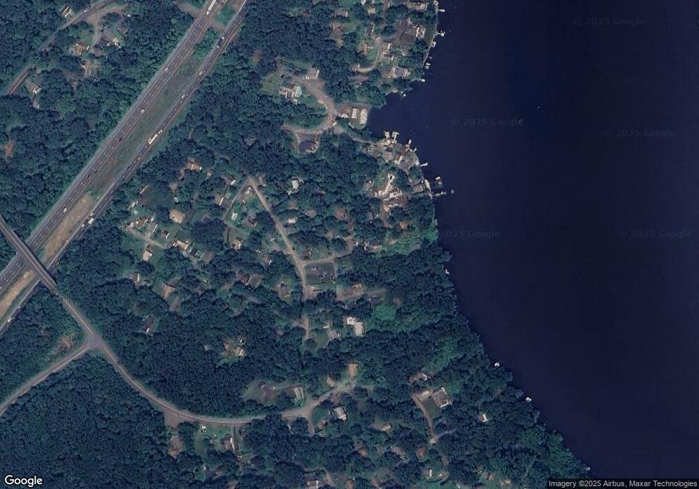
Map
Nearby Homes
- 89 Alpine Dr
- 22 Hemlock Trail
- 108 Riverside Rd
- 105 Lower Fish Rock Rd
- 41 Chipmunk Trail
- 105 Lake Ridge Rd
- 76 Lee Farm Dr
- 17 Buttonball Dr
- 22 Misty Vale Rd
- 16A Pole Bridge Rd
- 30 Cedarhurst Trail
- 1 Owl Ridge Ln
- 3 Owl Ridge Ln
- 12 Skidmore Ln
- 600 Berkshire Rd
- 5 Cherry Heights Terrace
- 412 Laurelwood Ln
- 7 Ford Rd
- 4 Sunnyview Terrace
- 32 Yogananda St
- 5 Shadblow Trail
- 5 Cottonwood Trail
- 21 Cottonwood Trail
- 6 Shadblow Trail
- 10 Locust Ln
- 25 Cottonwood Trail
- 3 Cottonwood Trail
- 51 Bankside Trail
- 119 Alpine Dr
- 111 Alpine Dr
- 37 Cottonwood Trail
- 43 Bankside Trail
- 39 Bankside Trail
- 125 Alpine Dr
- 29 Cottonwood Trail
- 107 Alpine Dr
- 4 Cottonwood Trail
- 6 Cypress Trail
- 27 Locust Ln
- 35 Bankside Trail
Your Personal Tour Guide
Ask me questions while you tour the home.