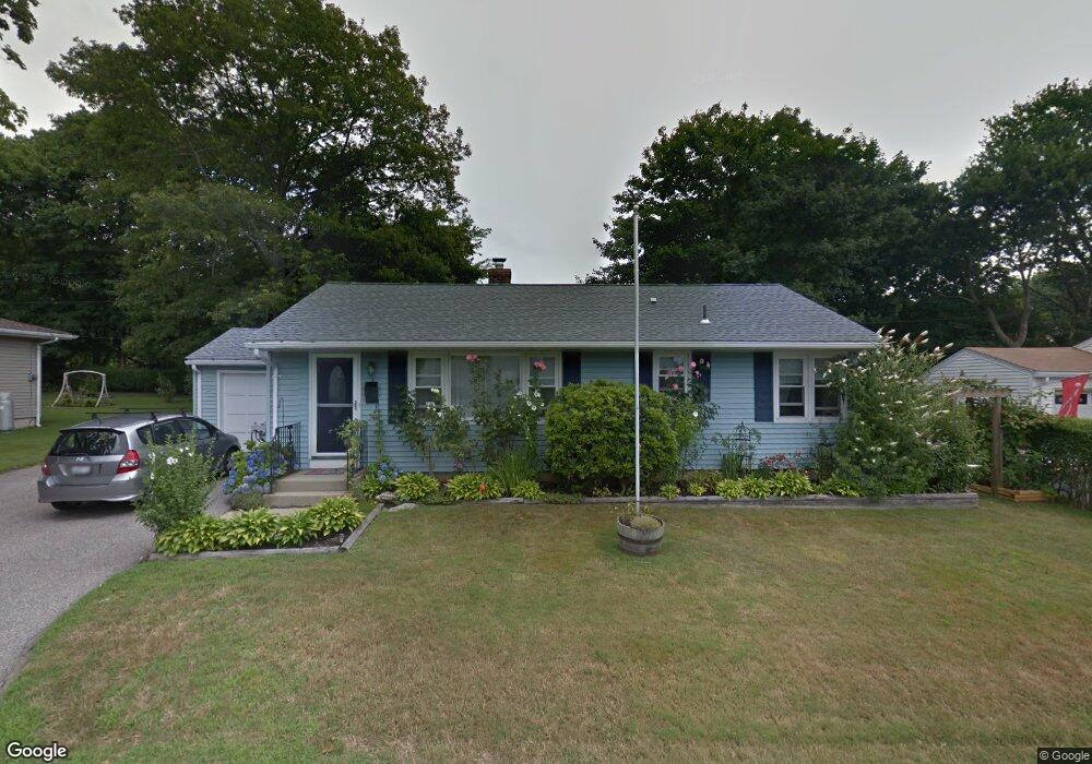
3 Sherwood Rd Middletown, RI 02842
Estimated Value: $587,000 - $732,000
3
Beds
2
Baths
2,194
Sq Ft
$295/Sq Ft
Est. Value
About This Home
This home is located at 3 Sherwood Rd, Middletown, RI 02842 and is currently estimated at $647,141, approximately $294 per square foot. 3 Sherwood Rd is a home located in Newport County with nearby schools including Middletown High School, St Michael's Country Day School, and All Saints STEAM Academy.
Ownership History
Date
Name
Owned For
Owner Type
Purchase Details
Closed on
Sep 30, 2005
Sold by
Smith Roy H and Smith Carol M
Bought by
Corr Peter and Corr Meaghan R
Current Estimated Value
Home Financials for this Owner
Home Financials are based on the most recent Mortgage that was taken out on this home.
Original Mortgage
$270,000
Outstanding Balance
$143,471
Interest Rate
5.84%
Mortgage Type
Purchase Money Mortgage
Estimated Equity
$503,670
Create a Home Valuation Report for This Property
The Home Valuation Report is an in-depth analysis detailing your home's value as well as a comparison with similar homes in the area
Home Values in the Area
Average Home Value in this Area
Purchase History
| Date | Buyer | Sale Price | Title Company |
|---|---|---|---|
| Corr Peter | $320,000 | -- |
Source: Public Records
Mortgage History
| Date | Status | Borrower | Loan Amount |
|---|---|---|---|
| Open | Corr Peter | $270,000 | |
| Previous Owner | Corr Peter | $13,000 | |
| Previous Owner | Corr Peter | $90,000 |
Source: Public Records
Tax History Compared to Growth
Tax History
| Year | Tax Paid | Tax Assessment Tax Assessment Total Assessment is a certain percentage of the fair market value that is determined by local assessors to be the total taxable value of land and additions on the property. | Land | Improvement |
|---|---|---|---|---|
| 2025 | $5,212 | $442,100 | $272,600 | $169,500 |
| 2024 | $4,978 | $442,100 | $272,600 | $169,500 |
| 2023 | $4,075 | $323,700 | $184,200 | $139,500 |
| 2022 | $3,891 | $323,700 | $184,200 | $139,500 |
| 2021 | $3,891 | $323,700 | $184,200 | $139,500 |
| 2020 | $3,507 | $254,900 | $138,400 | $116,500 |
| 2018 | $3,505 | $254,900 | $138,400 | $116,500 |
| 2016 | $3,519 | $228,200 | $122,900 | $105,300 |
| 2015 | $3,432 | $228,200 | $122,900 | $105,300 |
| 2014 | $3,441 | $214,100 | $105,400 | $108,700 |
| 2013 | $3,364 | $214,100 | $105,400 | $108,700 |
Source: Public Records
Map
Nearby Homes
- 1 Shangri-La Ln
- 36 Kay Blvd
- 138 Green End Ave
- 19 Princeton St Unit 21
- 5 Elliot Place
- 55 John Clarke Rd Unit 8
- 55 John Clarke Rd Unit 3
- 129 Bliss Mine Rd
- 78 Ellery Rd
- 1 Arnold Ave
- 117 W Main Rd
- 103 Champlin Place N
- 198 Gibbs Ave
- 149 W Main Rd
- 155 Evarts St
- 128 Eustis Ave
- 4 Newport Ave Unit B2
- 17 Lincoln St
- 78 Rhode Island Ave Unit 6
- 78 Rhode Island Ave Unit 8