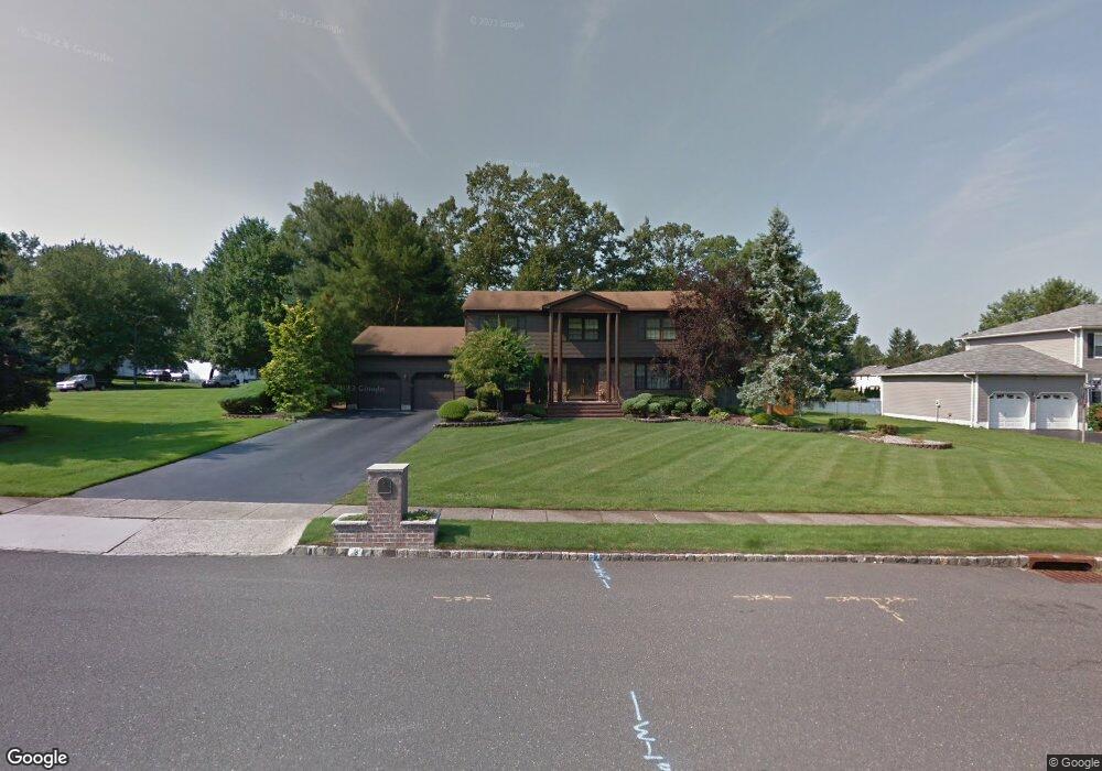
3 Shilling Rd Manalapan, NJ 07726
Estimated Value: $1,044,926 - $1,073,000
5
Beds
2
Baths
3,073
Sq Ft
$344/Sq Ft
Est. Value
About This Home
This home is located at 3 Shilling Rd, Manalapan, NJ 07726 and is currently estimated at $1,056,982, approximately $343 per square foot. 3 Shilling Rd is a home located in Monmouth County with nearby schools including Taylor Mills Elementary School, Pine Brook Elementary School, and Manalapan-Englishtown Middle School.
Ownership History
Date
Name
Owned For
Owner Type
Purchase Details
Closed on
May 1, 2015
Sold by
Roberts Joel and Roberts Francie
Bought by
Seideneck Charles W and Seideneck Michelle L
Current Estimated Value
Home Financials for this Owner
Home Financials are based on the most recent Mortgage that was taken out on this home.
Original Mortgage
$340,000
Interest Rate
3.78%
Mortgage Type
New Conventional
Create a Home Valuation Report for This Property
The Home Valuation Report is an in-depth analysis detailing your home's value as well as a comparison with similar homes in the area
Home Values in the Area
Average Home Value in this Area
Purchase History
| Date | Buyer | Sale Price | Title Company |
|---|---|---|---|
| Seideneck Charles W | $550,000 | First American Title Ins Co |
Source: Public Records
Mortgage History
| Date | Status | Borrower | Loan Amount |
|---|---|---|---|
| Previous Owner | Seideneck Charles W | $340,000 |
Source: Public Records
Tax History Compared to Growth
Tax History
| Year | Tax Paid | Tax Assessment Tax Assessment Total Assessment is a certain percentage of the fair market value that is determined by local assessors to be the total taxable value of land and additions on the property. | Land | Improvement |
|---|---|---|---|---|
| 2025 | $14,436 | $838,700 | $283,000 | $555,700 |
| 2024 | $14,044 | $855,200 | $373,000 | $482,200 |
| 2023 | $14,044 | $844,000 | $373,000 | $471,000 |
| 2022 | $12,992 | $767,400 | $319,000 | $448,400 |
| 2021 | $12,992 | $625,800 | $193,000 | $432,800 |
| 2020 | $12,283 | $598,300 | $168,000 | $430,300 |
| 2019 | $12,813 | $623,500 | $203,000 | $420,500 |
| 2018 | $11,968 | $579,000 | $178,000 | $401,000 |
| 2017 | $11,355 | $549,600 | $163,000 | $386,600 |
| 2016 | $11,121 | $544,600 | $163,000 | $381,600 |
| 2015 | $11,038 | $534,800 | $163,000 | $371,800 |
| 2014 | $10,946 | $516,300 | $172,500 | $343,800 |
Source: Public Records
Map
Nearby Homes
- 36 Merion Dr
- 2 Silverleaf Way
- 30 Shilling Rd
- 8 Kensington Dr
- 432 Hampton Ct Unit 12-8
- 401 Hampton Ct
- 1 Wickatunk Rd
- 37 Pease Rd
- 17 Yorktowne Dr
- 12 Locust Grove Ln
- 8 Chesapeake Rd
- 10 Locust Grove Ln
- 181 Arrowood Rd Unit D
- 210 Pine Brook Rd
- 56 Tarrytown Rd
- 21 Wickatunk Rd
- 204 Covered Bridge Blvd Unit F
- 19 Pease Rd
- 154 Cross Slope Ct Unit G
- 184 Cross Slope Ct