3 Ship Bottom Ln Waretown, NJ 08758
Estimated Value: $731,534 - $807,000
3
Beds
3
Baths
3,081
Sq Ft
$250/Sq Ft
Est. Value
About This Home
This home is located at 3 Ship Bottom Ln, Waretown, NJ 08758 and is currently estimated at $771,634, approximately $250 per square foot. 3 Ship Bottom Ln is a home with nearby schools including Waretown Elementary School and Frederic A. Priff Elementary School.
Ownership History
Date
Name
Owned For
Owner Type
Purchase Details
Closed on
Nov 4, 2015
Sold by
U S Home Corp
Bought by
Volpe Robert F and Volpe Carol E
Current Estimated Value
Home Financials for this Owner
Home Financials are based on the most recent Mortgage that was taken out on this home.
Original Mortgage
$283,500
Outstanding Balance
$220,765
Interest Rate
3.5%
Mortgage Type
Adjustable Rate Mortgage/ARM
Estimated Equity
$550,869
Create a Home Valuation Report for This Property
The Home Valuation Report is an in-depth analysis detailing your home's value as well as a comparison with similar homes in the area
Home Values in the Area
Average Home Value in this Area
Purchase History
We collect this data history from publicly available records. To have your information removed, we recommend requesting removal directly through your county’s website.
| Date | Buyer | Sale Price | Title Company |
|---|---|---|---|
| Volpe Robert F | $417,500 | North American Title Agency |
Source: Public Records
Mortgage History
We collect this data history from publicly available records. To have your information removed, we recommend requesting removal directly through your county’s website.
| Date | Status | Borrower | Loan Amount |
|---|---|---|---|
| Open | Volpe Robert F | $283,500 |
Source: Public Records
Tax History
| Year | Tax Paid | Tax Assessment Tax Assessment Total Assessment is a certain percentage of the fair market value that is determined by local assessors to be the total taxable value of land and additions on the property. | Land | Improvement |
|---|---|---|---|---|
| 2025 | $10,167 | $644,300 | $148,800 | $495,500 |
| 2024 | $8,570 | $644,300 | $148,800 | $495,500 |
| 2023 | $8,016 | $368,900 | $80,300 | $288,600 |
| 2022 | $8,016 | $368,900 | $80,300 | $288,600 |
| 2021 | $7,883 | $368,900 | $80,300 | $288,600 |
| 2020 | $7,780 | $368,900 | $80,300 | $288,600 |
| 2019 | $7,629 | $368,900 | $80,300 | $288,600 |
| 2018 | $7,432 | $366,100 | $80,300 | $285,800 |
| 2017 | $7,179 | $366,100 | $80,300 | $285,800 |
| 2016 | $1,530 | $80,300 | $80,300 | $0 |
| 2015 | $1,490 | $80,300 | $80,300 | $0 |
| 2014 | $1,478 | $80,300 | $80,300 | $0 |
Source: Public Records
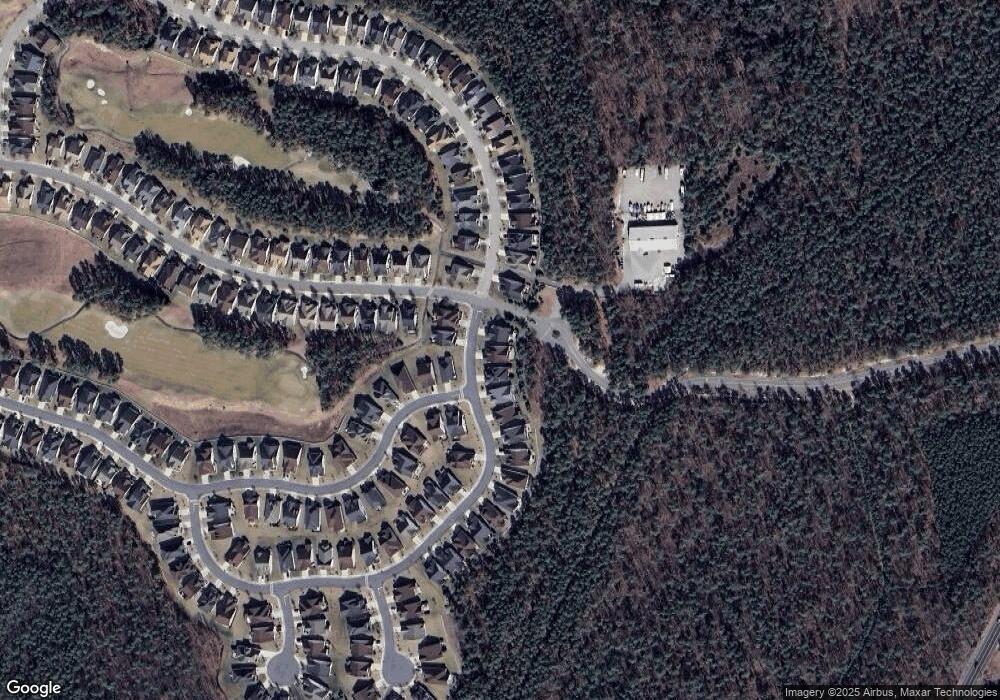
Map
Nearby Homes
- 79 Strathmere St
- 81 Pancoast Rd
- 45 Ship Bottom Ln
- 46 Pancoast Rd
- 15 Baybreeze Dr
- 12 Forest Park Dr
- 37 Bay Breeze Dr
- 14 Forest Park Dr
- 35 Baybreeze Dr
- 31 Baybreeze Dr
- 37 Baybreeze Dr
- 39 Baybreeze Dr
- 16 Forest Park Dr
- 41 Baybreeze Dr
- 18 Forest Park Dr
- 43 Baybreeze Dr
- 43 Baybreeze Dr
- 20 Forest Park Dr
- 22 Forest Park Dr
- 8 Fair Haven Way
- 5 Ship Bottom Ln
- 1 Ship Bottom Ln
- 7 Ship Bottom Ln
- 162 Bayville Way
- 4 Ship Bottom Ln
- 9 Ship Bottom Ln
- 160 Bayville Way
- 2 Ship Bottom Ln
- 11 Ship Bottom Ln
- 163 Bayville Way
- 158 Bayville Way
- 161 Bayville Way
- 92 Pancoast Rd
- 66 Strathmere St
- 15 Ship Bottom Ln
- 77 Strathmere St
- 20 Ship Bottom Ln
- 90 Pancoast Rd
- 17 Ship Bottom Ln
- 159 Bayville Way
Your Personal Tour Guide
Ask me questions while you tour the home.