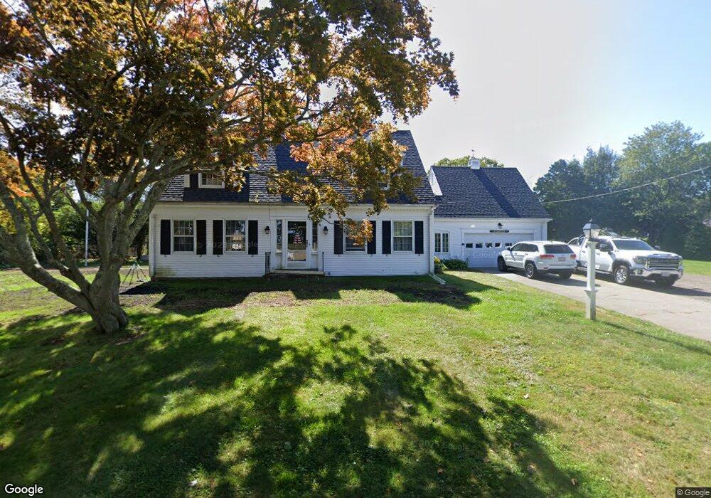
3 Stone Rd Scituate, MA 02066
Estimated Value: $742,000 - $1,214,000
3
Beds
2
Baths
2,137
Sq Ft
$435/Sq Ft
Est. Value
About This Home
This home is located at 3 Stone Rd, Scituate, MA 02066 and is currently estimated at $929,080, approximately $434 per square foot. 3 Stone Rd is a home located in Plymouth County with nearby schools including Jenkins Elementary School, Lester J. Gates Middle School, and Scituate High School.
Ownership History
Date
Name
Owned For
Owner Type
Purchase Details
Closed on
Nov 30, 2016
Sold by
Young Eleanor D Est
Bought by
Obriwn Ft
Current Estimated Value
Home Financials for this Owner
Home Financials are based on the most recent Mortgage that was taken out on this home.
Original Mortgage
$331,250
Outstanding Balance
$267,478
Interest Rate
3.52%
Mortgage Type
New Conventional
Estimated Equity
$661,602
Purchase Details
Closed on
Jan 1, 1967
Bought by
Young Paul F and Young Eleanor D
Create a Home Valuation Report for This Property
The Home Valuation Report is an in-depth analysis detailing your home's value as well as a comparison with similar homes in the area
Home Values in the Area
Average Home Value in this Area
Purchase History
| Date | Buyer | Sale Price | Title Company |
|---|---|---|---|
| Obriwn Ft | $375,000 | -- | |
| Young Paul F | -- | -- |
Source: Public Records
Mortgage History
| Date | Status | Borrower | Loan Amount |
|---|---|---|---|
| Open | Obriwn Ft | $331,250 |
Source: Public Records
Tax History
| Year | Tax Paid | Tax Assessment Tax Assessment Total Assessment is a certain percentage of the fair market value that is determined by local assessors to be the total taxable value of land and additions on the property. | Land | Improvement |
|---|---|---|---|---|
| 2025 | $7,870 | $787,800 | $367,000 | $420,800 |
| 2024 | $7,794 | $752,300 | $333,600 | $418,700 |
| 2023 | $7,670 | $697,900 | $320,200 | $377,700 |
| 2022 | $7,670 | $607,800 | $291,300 | $316,500 |
| 2021 | $7,325 | $549,500 | $277,500 | $272,000 |
| 2020 | $7,101 | $526,000 | $266,800 | $259,200 |
| 2019 | $7,001 | $509,500 | $261,500 | $248,000 |
| 2018 | $6,893 | $494,100 | $262,200 | $231,900 |
| 2017 | $6,808 | $483,200 | $251,300 | $231,900 |
| 2016 | $6,524 | $461,400 | $229,500 | $231,900 |
| 2015 | $5,900 | $450,400 | $218,500 | $231,900 |
Source: Public Records
Map
Nearby Homes
- 46 Tilden Rd
- 50 First Parish Rd
- 91 Front St Unit 106
- 59 Greenfield Ln
- 25 Morton Place
- 38 Lauren Ln
- 111 Elm St
- 21 Jenkins Place
- 115 Elm St
- 20 Lee Ave
- 20 Grace Way Unit 20
- 6 Grace Way Unit 6
- 27 Grace Way
- 12 Richfield Rd
- 11 Brookline Rd
- 32 Barker Rd Unit 3
- 55 Crescent Ave
- 19 Ford Place Unit 1
- 19 Ford Place Unit 2
- 23 Sunset Rd
- 65 Common St
- 8 Stone Rd
- 55 Common St
- 9 Stone Rd
- 111 First Parish Rd
- 111 First Parish Rd
- 67 Common St
- 2 Chester St
- 15 Stone Rd
- 56 Common St
- 56 Common St Unit Left
- 119 First Parish Rd
- 5 Roslin Rd
- 121 First Parish Rd
- 132 River St
- 3 Chester St
- 105 First Parish Rd Unit 105A
- 50 Common St
- 47 Common St
- 4 Roslin Rd
Your Personal Tour Guide
Ask me questions while you tour the home.