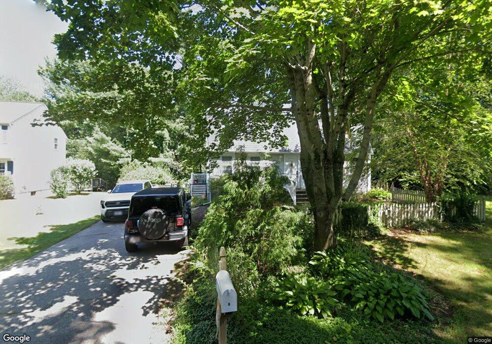
3 Strawberry Ln Attleboro, MA 02703
Estimated Value: $587,428 - $636,000
3
Beds
2
Baths
1,728
Sq Ft
$354/Sq Ft
Est. Value
About This Home
This home is located at 3 Strawberry Ln, Attleboro, MA 02703 and is currently estimated at $610,857, approximately $353 per square foot. 3 Strawberry Ln is a home located in Bristol County with nearby schools including Hyman Fine Elementary School, Wamsutta Middle School, and Attleboro High School.
Ownership History
Date
Name
Owned For
Owner Type
Purchase Details
Closed on
Nov 13, 2002
Sold by
Allberry Peter W and Allberry Susan M
Bought by
Marcelino Susan M
Current Estimated Value
Home Financials for this Owner
Home Financials are based on the most recent Mortgage that was taken out on this home.
Original Mortgage
$70,000
Interest Rate
6.03%
Mortgage Type
Purchase Money Mortgage
Create a Home Valuation Report for This Property
The Home Valuation Report is an in-depth analysis detailing your home's value as well as a comparison with similar homes in the area
Home Values in the Area
Average Home Value in this Area
Purchase History
| Date | Buyer | Sale Price | Title Company |
|---|---|---|---|
| Marcelino Susan M | -- | -- |
Source: Public Records
Mortgage History
| Date | Status | Borrower | Loan Amount |
|---|---|---|---|
| Open | Marcelino Susan M | $100,000 | |
| Closed | Marcelino Susan M | $70,000 | |
| Previous Owner | Marcelino Susan M | $10,000 | |
| Previous Owner | Marcelino Susan M | $66,500 |
Source: Public Records
Tax History Compared to Growth
Tax History
| Year | Tax Paid | Tax Assessment Tax Assessment Total Assessment is a certain percentage of the fair market value that is determined by local assessors to be the total taxable value of land and additions on the property. | Land | Improvement |
|---|---|---|---|---|
| 2025 | $6,339 | $505,100 | $168,100 | $337,000 |
| 2024 | $6,038 | $474,300 | $151,200 | $323,100 |
| 2023 | $5,501 | $401,800 | $152,800 | $249,000 |
| 2022 | $5,404 | $374,000 | $145,500 | $228,500 |
| 2021 | $5,119 | $345,900 | $140,200 | $205,700 |
| 2020 | $4,982 | $342,200 | $133,900 | $208,300 |
| 2019 | $4,591 | $324,200 | $131,400 | $192,800 |
| 2018 | $4,760 | $321,200 | $127,600 | $193,600 |
| 2017 | $4,388 | $301,600 | $124,400 | $177,200 |
| 2016 | $4,277 | $288,600 | $116,100 | $172,500 |
| 2015 | $4,276 | $290,700 | $116,100 | $174,600 |
| 2014 | $4,091 | $275,500 | $111,100 | $164,400 |
Source: Public Records
Map
Nearby Homes
- 60 Metacommett Dr
- 8 Kasmira Way
- 7 Stevens Field Rd
- 44 Winterberry Ln
- 182 John Scott Blvd
- 86 Woodstock Rd
- 55 Sturdy St
- 245 Smith St
- 98 S Worcester St
- 99 Brigham Hill Rd
- 8 Preservation Way
- 108 S Worcester St
- 240 Smith St
- 33 Dean St
- 48 Dean St
- 38 Springdale Ave
- 225 S Worcester St Unit 2
- 225 S Worcester St Unit 1
- 145 S Worcester St
- 0 Old Dean St (Parcel 33)