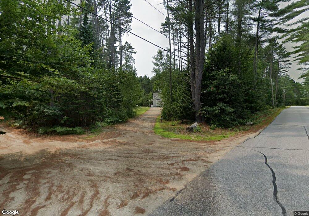
3 Tall Pine Ln Brownfield, ME 04010
Estimated Value: $382,000 - $482,000
3
Beds
2
Baths
1,976
Sq Ft
$209/Sq Ft
Est. Value
About This Home
This home is located at 3 Tall Pine Ln, Brownfield, ME 04010 and is currently estimated at $412,991, approximately $209 per square foot. 3 Tall Pine Ln is a home located in Oxford County with nearby schools including Molly Ockett School and Molly Ockett Middle School.
Ownership History
Date
Name
Owned For
Owner Type
Purchase Details
Closed on
Mar 4, 2022
Sold by
Hastings Thomas W and Hastings John M
Bought by
Morrison Patti and Smith Bruce
Current Estimated Value
Home Financials for this Owner
Home Financials are based on the most recent Mortgage that was taken out on this home.
Original Mortgage
$215,000
Outstanding Balance
$200,352
Interest Rate
3.69%
Mortgage Type
Purchase Money Mortgage
Estimated Equity
$212,639
Create a Home Valuation Report for This Property
The Home Valuation Report is an in-depth analysis detailing your home's value as well as a comparison with similar homes in the area
Home Values in the Area
Average Home Value in this Area
Purchase History
| Date | Buyer | Sale Price | Title Company |
|---|---|---|---|
| Morrison Patti | $315,000 | None Available |
Source: Public Records
Mortgage History
| Date | Status | Borrower | Loan Amount |
|---|---|---|---|
| Open | Morrison Patti | $215,000 |
Source: Public Records
Tax History Compared to Growth
Tax History
| Year | Tax Paid | Tax Assessment Tax Assessment Total Assessment is a certain percentage of the fair market value that is determined by local assessors to be the total taxable value of land and additions on the property. | Land | Improvement |
|---|---|---|---|---|
| 2024 | $3,251 | $243,524 | $56,819 | $186,705 |
| 2023 | $3,521 | $197,818 | $43,322 | $154,496 |
| 2022 | $3,313 | $197,818 | $43,322 | $154,496 |
| 2021 | $1,552 | $101,786 | $44,792 | $56,994 |
| 2020 | $1,359 | $101,786 | $44,792 | $56,994 |
| 2019 | $1,690 | $102,710 | $44,792 | $57,918 |
| 2018 | $2,073 | $119,510 | $44,792 | $74,718 |
| 2017 | $1,954 | $119,510 | $44,792 | $74,718 |
| 2016 | $1,912 | $119,510 | $44,792 | $74,718 |
| 2015 | $1,709 | $121,200 | $45,400 | $75,800 |
| 2013 | $1,664 | $119,700 | $45,400 | $74,300 |
Source: Public Records
Map
Nearby Homes
- 470 Center Conway Rd
- 1956 Brownfield Rd
- 827 Davis Hill Rd
- 125 Corn Hill Rd
- R13L50 Corn Hill Rd
- Lot#R13L50 Corn Hill Rd
- 00 Brownfield Rd
- 00 Davis Hill Rd Unit 97
- 3 Larch Dr
- 176 Merrill Corner Rd
- 3 Oxen Pull Rd
- 6 Hattie Pike Rd
- 83 Maple St
- 293 Pemigewasset Dr
- 363 Main St
- 42 Harmony Ln Unit 5
- 289 Davis Hill Rd
- 18 Russell Ln
- 91 Hunting Ridge Rd
- 110 Portland St
- 3 Tall Pines Rd
- 0 Tall Pines Ln
- 8 Tall Pines Ln
- 3 Tall Pines Ln
- 613 Haley Town Rd
- 613 Haley Town Rd
- 0 Haley Town Rd Unit 4623005
- 0 Haley Town Rd Unit 1298743
- Lot #1 Haleytown Rd
- 24 Farnsworth Rd
- 24 Farnsworth Rd
- Lot #2 Farnsworth Rd
- Lot #2 Farnsworth
- 0 Haleytown Rd Unit 4444018
- 0 Haleytown Rd Unit 581715
- 0 Haleytown Rd Unit 1232887
- 0 Haleytown Rd Unit 1500098
- 613 Haleytown Rd
- 0 Farnsworth Unit 1 4668856
- 0 Farnsworth Unit 2 4668859