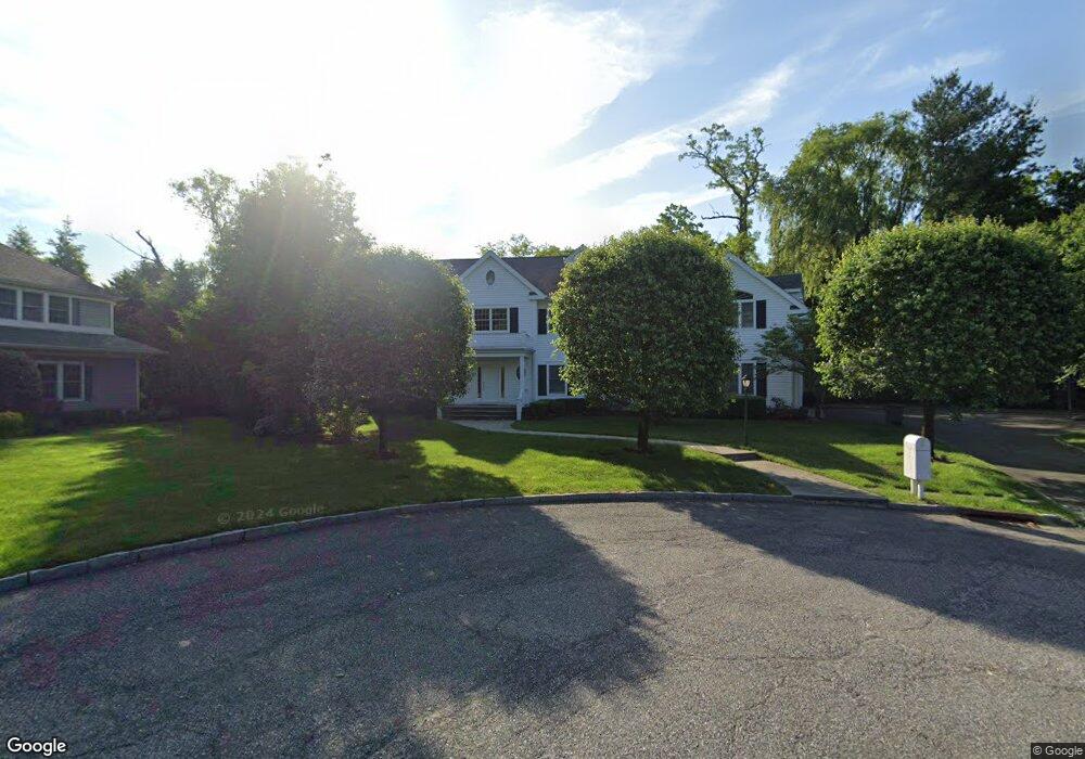
3 Thies Ct Scarsdale, NY 10583
Secor Farms NeighborhoodEstimated Value: $3,265,000 - $3,824,000
5
Beds
6
Baths
5,945
Sq Ft
$610/Sq Ft
Est. Value
About This Home
This home is located at 3 Thies Ct, Scarsdale, NY 10583 and is currently estimated at $3,624,007, approximately $609 per square foot. 3 Thies Ct is a home located in Westchester County with nearby schools including Scarsdale Middle School, Scarsdale High School, and Kodomono Kuni School.
Ownership History
Date
Name
Owned For
Owner Type
Purchase Details
Closed on
Dec 5, 2018
Sold by
Litton Andrew and Litton Jayne
Bought by
Litton Andrew
Current Estimated Value
Purchase Details
Closed on
Mar 15, 2006
Sold by
Levav Erez and Levav Amy L
Bought by
Litton Andrew and Litton Jayne
Home Financials for this Owner
Home Financials are based on the most recent Mortgage that was taken out on this home.
Original Mortgage
$1,000,000
Interest Rate
6.17%
Mortgage Type
Purchase Money Mortgage
Purchase Details
Closed on
Oct 31, 2001
Sold by
Napolitano Americo
Bought by
Levav Erez and Levav Amy L
Create a Home Valuation Report for This Property
The Home Valuation Report is an in-depth analysis detailing your home's value as well as a comparison with similar homes in the area
Home Values in the Area
Average Home Value in this Area
Purchase History
| Date | Buyer | Sale Price | Title Company |
|---|---|---|---|
| Litton Andrew | $85,000 | None Available | |
| Litton Andrew | $2,295,000 | New York Title | |
| Levav Erez | $1,625,000 | -- |
Source: Public Records
Mortgage History
| Date | Status | Borrower | Loan Amount |
|---|---|---|---|
| Previous Owner | Litton Andrew | $1,000,000 |
Source: Public Records
Tax History Compared to Growth
Tax History
| Year | Tax Paid | Tax Assessment Tax Assessment Total Assessment is a certain percentage of the fair market value that is determined by local assessors to be the total taxable value of land and additions on the property. | Land | Improvement |
|---|---|---|---|---|
| 2024 | $61,899 | $2,250,000 | $950,000 | $1,300,000 |
| 2023 | $59,724 | $2,250,000 | $950,000 | $1,300,000 |
| 2022 | $46,630 | $2,250,000 | $950,000 | $1,300,000 |
| 2021 | $51,680 | $2,250,000 | $950,000 | $1,300,000 |
| 2020 | $56,559 | $2,250,000 | $950,000 | $1,300,000 |
| 2019 | $56,128 | $2,250,000 | $950,000 | $1,300,000 |
| 2018 | $65,473 | $2,250,000 | $950,000 | $1,300,000 |
| 2017 | $0 | $2,250,000 | $950,000 | $1,300,000 |
| 2016 | $55,180 | $2,250,000 | $950,000 | $1,300,000 |
| 2015 | -- | $2,661,000 | $827,000 | $1,834,000 |
| 2014 | -- | $2,661,000 | $827,000 | $1,834,000 |
| 2013 | -- | $36,300 | $12,850 | $23,450 |
Source: Public Records
Map
Nearby Homes
- 229 Mamaroneck Rd
- 21 Springdale Rd
- 18 Lincoln Rd
- 101 Carthage Rd
- 28 Aspen Rd
- 61 Lincoln Rd
- 66 Secor Rd
- 36 Secor Rd
- 32 Sycamore Rd
- 96 Brookby Rd
- 14 Wakefield Rd
- 2 Weaver St Unit 9
- 2 Weaver St Unit 3
- 85 Wiltshire Rd Unit B11
- 103 Wiltshire Rd Unit D2
- 8 Crest Ln
- 8 Dell Rd
- 126 Penn Rd
- 51 Plymouth Dr
- 16 Coralyn Rd