3 Top Pasture Rd Washington Depot, CT 06794
Estimated Value: $725,736 - $1,256,000
4
Beds
7
Baths
2,100
Sq Ft
$413/Sq Ft
Est. Value
About This Home
This home is located at 3 Top Pasture Rd, Washington Depot, CT 06794 and is currently estimated at $867,684, approximately $413 per square foot. 3 Top Pasture Rd is a home located in Litchfield County with nearby schools including Shepaug Valley School, The Glenholme School, and The Frederick Gunn School.
Ownership History
Date
Name
Owned For
Owner Type
Purchase Details
Closed on
Jun 25, 2010
Sold by
Struglia Patricia
Bought by
Hollinger Thomas and Coe Kathryn
Current Estimated Value
Home Financials for this Owner
Home Financials are based on the most recent Mortgage that was taken out on this home.
Original Mortgage
$220,000
Interest Rate
4.98%
Create a Home Valuation Report for This Property
The Home Valuation Report is an in-depth analysis detailing your home's value as well as a comparison with similar homes in the area
Home Values in the Area
Average Home Value in this Area
Purchase History
| Date | Buyer | Sale Price | Title Company |
|---|---|---|---|
| Hollinger Thomas | $940,000 | -- | |
| Hollinger Thomas | $940,000 | -- |
Source: Public Records
Mortgage History
| Date | Status | Borrower | Loan Amount |
|---|---|---|---|
| Open | Hollinger Thomas | $219,000 | |
| Closed | Hollinger Thomas | $220,000 | |
| Previous Owner | Hollinger Thomas | $70,000 |
Source: Public Records
Tax History Compared to Growth
Tax History
| Year | Tax Paid | Tax Assessment Tax Assessment Total Assessment is a certain percentage of the fair market value that is determined by local assessors to be the total taxable value of land and additions on the property. | Land | Improvement |
|---|---|---|---|---|
| 2025 | $3,952 | $364,280 | $101,570 | $262,710 |
| 2024 | $3,914 | $360,780 | $101,570 | $259,210 |
| 2023 | $3,939 | $276,390 | $102,480 | $173,910 |
| 2022 | $3,939 | $276,390 | $102,480 | $173,910 |
| 2021 | $3,939 | $276,390 | $102,470 | $173,920 |
| 2020 | $3,939 | $276,390 | $102,470 | $173,920 |
| 2019 | $3,939 | $276,390 | $102,470 | $173,920 |
| 2018 | $3,259 | $287,180 | $111,580 | $175,600 |
| 2017 | $3,088 | $287,180 | $111,580 | $175,600 |
| 2016 | $4,092 | $287,180 | $111,580 | $175,600 |
| 2015 | $3,949 | $287,180 | $111,580 | $175,600 |
| 2014 | $3,877 | $287,180 | $111,580 | $175,600 |
Source: Public Records
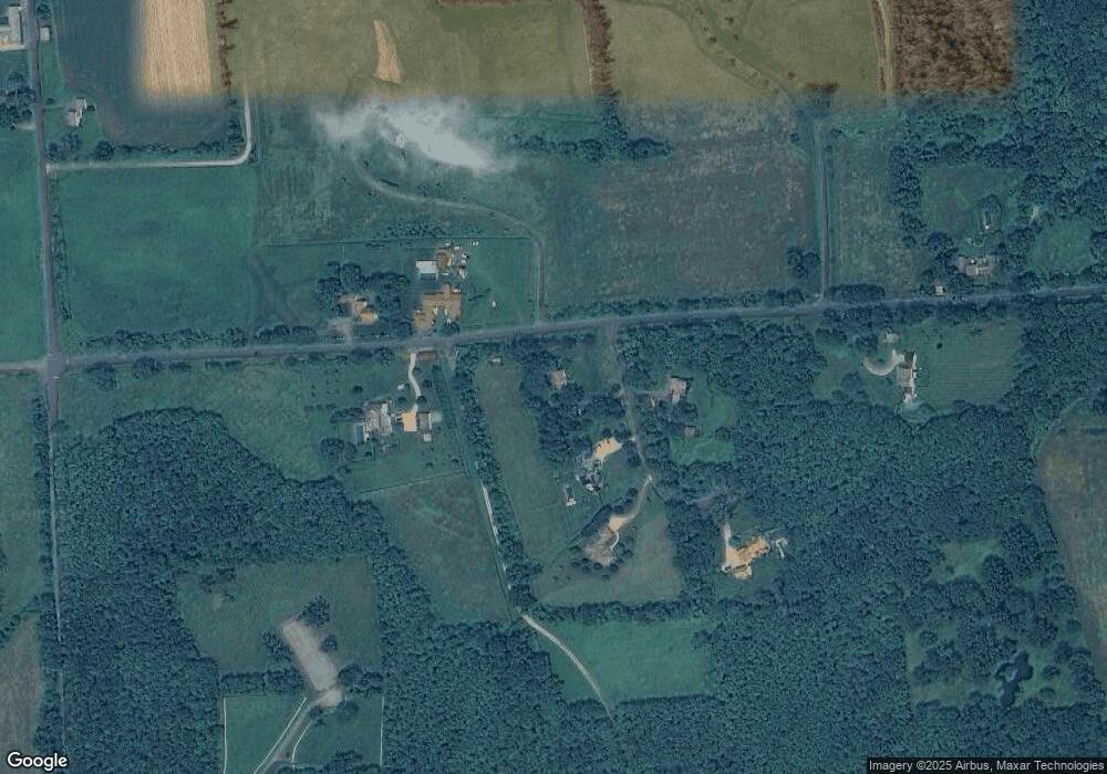
Map
Nearby Homes
- 00 Upper Church Hill & Popple Swamp Rd
- Lot 2 060804A Popple Swamp Rd
- LOT 1 060804 Popple Swamp Rd
- 109 Church Hill Rd
- Lot 3 060804C Upper Church Hill Rd
- Lot 4 060804B Upper Church Hill Rd
- 85 W Church Hill Rd
- 114 Bee Brook Rd
- 54 Scofield Hill Rd
- 93 Quarry Ridge Rd Unit 93
- 35 Quarry Ridge Rd Unit 35
- 29 Quarry Ridge Rd
- 75 Green Hill Rd
- 85 Weathervane Dr
- 51 Ferry Bridge Rd
- 101 Lower Church Hill Rd
- 35 Hillendale Dr
- 96 Kinney Hill Rd
- 1 Sabbaday Ln
- 15 Connelly Rd
- 5 Top Pasture Rd
- 72 Upper Church Hill Rd
- 4 Top Pasture Rd
- 75 Upper Church Hill Rd
- 11 Top Pasture Rd
- 13 Top Pasture Rd
- 66 Upper Church Hill Rd
- 45 Upper Church Hill Rd
- 44 Upper Church Hill Rd
- 58 Upper Church Hill Rd
- 3 Church Hill Rd
- 70 Popple Swamp Rd
- 68 Popple Swamp Rd
- 00 Upper Church Hill Rd
- 142 Upper Church Hill Rd
- 13 Popple Swamp Rd
- 34 Popple Swamp Rd
- 71 Popple Swamp Rd
- 127 Church Hill Rd
- 127 Church Hill Rd