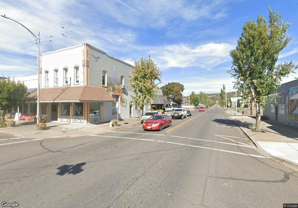
3 Unknown Situs Address Ln Goldendale, WA 98620
Estimated Value: $546,895 - $812,000
4
Beds
3
Baths
2,564
Sq Ft
$250/Sq Ft
Est. Value
About This Home
This home is located at 3 Unknown Situs Address Ln, Goldendale, WA 98620 and is currently estimated at $640,474, approximately $249 per square foot. 3 Unknown Situs Address Ln is a home with nearby schools including Goldendale Primary School, Goldendale Middle School, and Goldendale High School.
Ownership History
Date
Name
Owned For
Owner Type
Purchase Details
Closed on
Sep 7, 2017
Sold by
Sunset Real Estate Inc
Bought by
Smith Nathan A and Smith Tiara L
Current Estimated Value
Home Financials for this Owner
Home Financials are based on the most recent Mortgage that was taken out on this home.
Original Mortgage
$309,041
Interest Rate
3.92%
Mortgage Type
Construction
Create a Home Valuation Report for This Property
The Home Valuation Report is an in-depth analysis detailing your home's value as well as a comparison with similar homes in the area
Home Values in the Area
Average Home Value in this Area
Purchase History
| Date | Buyer | Sale Price | Title Company |
|---|---|---|---|
| Smith Nathan A | $77,620 | None Available |
Source: Public Records
Mortgage History
| Date | Status | Borrower | Loan Amount |
|---|---|---|---|
| Closed | Smith Nathan A | $309,041 |
Source: Public Records
Tax History Compared to Growth
Tax History
| Year | Tax Paid | Tax Assessment Tax Assessment Total Assessment is a certain percentage of the fair market value that is determined by local assessors to be the total taxable value of land and additions on the property. | Land | Improvement |
|---|---|---|---|---|
| 2025 | $3,945 | $444,150 | $49,850 | $394,300 |
| 2023 | $3,945 | $432,410 | $39,910 | $392,500 |
| 2022 | $3,916 | $382,210 | $35,410 | $346,800 |
| 2021 | $3,703 | $340,450 | $29,950 | $310,500 |
| 2020 | $3,703 | $339,760 | $29,260 | $310,500 |
| 2018 | $394 | $338,060 | $29,260 | $308,800 |
| 2017 | $322 | $33,260 | $29,260 | $4,000 |
| 2016 | -- | $29,480 | $25,480 | $4,000 |
| 2015 | $385 | $29,480 | $25,480 | $4,000 |
| 2013 | $385 | $32,970 | $28,970 | $4,000 |
Source: Public Records
Map
Nearby Homes
- 531 Cushman Rd
- 0 Hawks Wind Rd Unit 1 162521196
- 0 Hawks Wind Rd Unit 447718216
- 352 Box Canyon Rd
- 000 Lee Rd
- 0 Lee Rd
- 0 Old Mountain Rd Unit 510279845
- 0 Box Canyon Rd Unit 551282407
- 0 Box Canyon Rd Unit NWM2402336
- 15 Sutherlain Tr
- 0 Hidden Meadows
- 0 England Dr Unit 455774655
- 0 Hope Grove Unit 430872245
- 3 Thompson Trail
- 4 Thompson Trail
- 31 Thompson Trail
- 304 Toad Rd
- 280 Oak St
- 566 Woodland Rd
- 0 Section 5 Unit 797131098
- 0 Leaning Pine Lane 4
- 0 Leaning Pine Lane 6
- 19 Unknown Situs Address Ln
- 15 Leaning Pine Ln
- 0 Leaning Pine Ln Unit 6 23607761
- 0 Leaning Pine Ln Unit 15535239
- 0 Leaning Pine Ln Unit 3 17658801
- 0 Leaning Pine Ln Unit 2 18187846
- 14 Leaning Pine Ln
- 16 Leaning Pine Ln
- 0 Leaning Pine
- 5 Leaning Pine Ln
- 244 Box Canyon Rd
- 274 Box Canyon Rd
- 270 Hawks Wind Rd
- 270 Hawks Wind Rd
- 518 Cushman Rd
- 230 Box Canyon Rd
- 530 Cushman Rd
- 530 Cushman Rd Unit PVT
