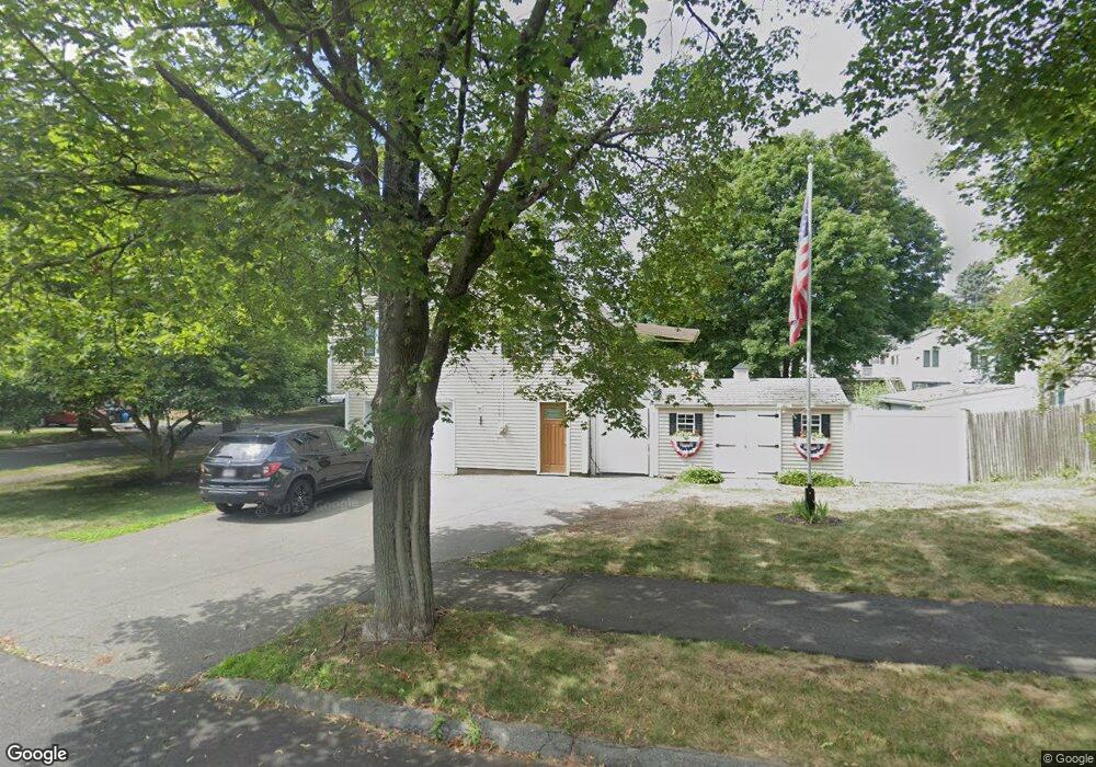
3 Upland Rd Danvers, MA 01923
Estimated Value: $623,000 - $682,000
3
Beds
2
Baths
1,483
Sq Ft
$438/Sq Ft
Est. Value
About This Home
This home is located at 3 Upland Rd, Danvers, MA 01923 and is currently estimated at $649,137, approximately $437 per square foot. 3 Upland Rd is a home located in Essex County with nearby schools including Danvers High School, The Saints Academy, and Shore Country Day School.
Ownership History
Date
Name
Owned For
Owner Type
Purchase Details
Closed on
Apr 24, 2017
Sold by
Mclaughlin Peter J and Mclaughlin Pauline C
Bought by
Mclaughlin Peter J and Mclaughlin Sean P
Current Estimated Value
Purchase Details
Closed on
Mar 25, 1976
Bought by
Mclaughlin Peter J and Mclaughlin Pauline C
Create a Home Valuation Report for This Property
The Home Valuation Report is an in-depth analysis detailing your home's value as well as a comparison with similar homes in the area
Home Values in the Area
Average Home Value in this Area
Purchase History
| Date | Buyer | Sale Price | Title Company |
|---|---|---|---|
| Mclaughlin Peter J | -- | -- | |
| Mclaughlin Peter J | -- | -- |
Source: Public Records
Mortgage History
| Date | Status | Borrower | Loan Amount |
|---|---|---|---|
| Previous Owner | Mclaughlin Peter J | $135,000 | |
| Previous Owner | Mclaughlin Peter J | $125,000 | |
| Previous Owner | Mclaughlin Peter J | $15,000 |
Source: Public Records
Tax History
| Year | Tax Paid | Tax Assessment Tax Assessment Total Assessment is a certain percentage of the fair market value that is determined by local assessors to be the total taxable value of land and additions on the property. | Land | Improvement |
|---|---|---|---|---|
| 2025 | $6,179 | $562,200 | $340,100 | $222,100 |
| 2024 | $5,839 | $525,600 | $340,100 | $185,500 |
| 2023 | $5,655 | $481,300 | $309,000 | $172,300 |
| 2022 | $5,554 | $438,700 | $280,400 | $158,300 |
| 2021 | $5,659 | $423,900 | $265,600 | $158,300 |
| 2020 | $5,496 | $420,800 | $262,500 | $158,300 |
| 2019 | $5,271 | $396,900 | $238,600 | $158,300 |
| 2018 | $5,073 | $374,700 | $236,300 | $138,400 |
| 2017 | $4,754 | $335,000 | $206,400 | $128,600 |
| 2016 | $4,622 | $325,500 | $196,900 | $128,600 |
| 2015 | $4,422 | $296,600 | $179,000 | $117,600 |
Source: Public Records
Map
Nearby Homes
- 6 Laurine Rd
- 198 Conant St
- 2 Duck Pond Rd Unit 108
- 6 Bartlett Rd
- 508 Elliott St
- 29 Conant St
- 7 Riverbank Ave Unit 7
- 7 Riverbank Ave
- 13 Giles Ave Unit 2
- 59 Riverview Ave
- 35 Bayview Terrace Unit 7
- 50 Balch St Unit 205
- 39 Trask St
- 11 Riverside Ave Unit 111
- 42 Coolidge Rd
- 147 High St
- 6 Mcdewell Ave Unit 4
- 12 Adams Ave
- 20 Central Ave
- 12 Central Ave Unit 1