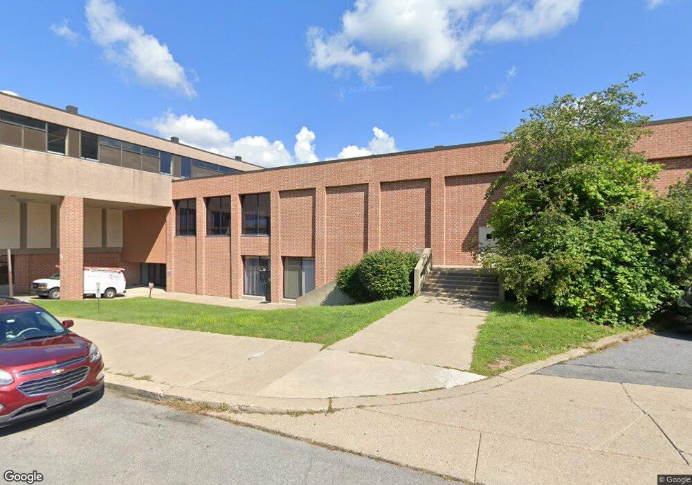
3 W Broad St Bethlehem, PA 18018
Downtown Bethlehem Neighborhood
--
Bed
--
Bath
1,200
Sq Ft
1.48
Acres
About This Home
This home is located at 3 W Broad St, Bethlehem, PA 18018. 3 W Broad St is a home located in Northampton County with nearby schools including Thomas Jefferson Elementary School, Northeast Middle School, and Liberty High School.
Ownership History
Date
Name
Owned For
Owner Type
Purchase Details
Closed on
Sep 30, 2019
Sold by
Sungard Public Sector Llc
Bought by
West Broad Associates Llc
Home Financials for this Owner
Home Financials are based on the most recent Mortgage that was taken out on this home.
Original Mortgage
$4,500,000
Outstanding Balance
$3,942,226
Interest Rate
3.5%
Mortgage Type
Future Advance Clause Open End Mortgage
Purchase Details
Closed on
Jul 1, 1999
Bought by
Pentamation Enterprises Inc
Create a Home Valuation Report for This Property
The Home Valuation Report is an in-depth analysis detailing your home's value as well as a comparison with similar homes in the area
Home Values in the Area
Average Home Value in this Area
Purchase History
| Date | Buyer | Sale Price | Title Company |
|---|---|---|---|
| West Broad Associates Llc | $4,500,000 | None Available | |
| Pentamation Enterprises Inc | $7,500,000 | -- |
Source: Public Records
Mortgage History
| Date | Status | Borrower | Loan Amount |
|---|---|---|---|
| Open | West Broad Associates Llc | $4,500,000 |
Source: Public Records
Tax History Compared to Growth
Tax History
| Year | Tax Paid | Tax Assessment Tax Assessment Total Assessment is a certain percentage of the fair market value that is determined by local assessors to be the total taxable value of land and additions on the property. | Land | Improvement |
|---|---|---|---|---|
| 2025 | $14,265 | $1,320,800 | $173,100 | $1,147,700 |
| 2024 | $116,746 | $1,320,800 | $173,100 | $1,147,700 |
| 2023 | $116,746 | $1,320,800 | $173,100 | $1,147,700 |
| 2022 | $115,834 | $1,320,800 | $173,100 | $1,147,700 |
| 2021 | $115,055 | $1,320,800 | $173,100 | $1,147,700 |
| 2020 | $113,959 | $1,320,800 | $173,100 | $1,147,700 |
| 2019 | $113,576 | $1,320,800 | $173,100 | $1,147,700 |
| 2018 | $110,815 | $1,320,800 | $173,100 | $1,147,700 |
| 2017 | $109,494 | $1,320,800 | $173,100 | $1,147,700 |
| 2016 | -- | $1,320,800 | $173,100 | $1,147,700 |
| 2015 | -- | $1,320,800 | $173,100 | $1,147,700 |
| 2014 | -- | $1,320,800 | $173,100 | $1,147,700 |
Source: Public Records
Map
Nearby Homes
- 20 W Raspberry St
- 80 W North St
- 72 W Market St
- 61 W Union Blvd
- 87 E Broad St
- 23 W Goepp St
- 913 Masslich St
- 205 W Broad St
- 131 E Walnut St
- 526 2nd Ave
- 828 Center St
- 405 1st Ave
- 128 E Spruce St
- 736 High St
- 109 W Frankford St
- 113 W Frankford St
- 1032 Main St
- 273 W Fairview St
- 1131 N New St
- 441 Linden St
- 3 W Broad St
- 3 W Broad St
- 3 W Broad St
- 1 W Broad St Unit 1010
- 51 W Broad St
- 0000 W Broad St
- 0 Broadway & Wyandotte St
- 0 Broadway
- 44 W Broad St
- 36 W Broad St
- 28 W Broad St Unit 101-104, 106-109
- 28 W Broad St Unit 111
- 28 W Broad St Unit 101-111
- 28 W Broad St
- 28 W Broad St Unit 101,101A,101B
- 28 W Broad St Unit 105-107
- 28 W Broad St Unit 109
- 28 W Broad St Unit collaborative
- 28 W Broad St Unit LL
- 28 W Broad St Unit 28