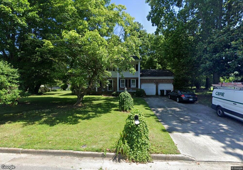
3 W River Rd Poquoson, VA 23662
Poquoson West NeighborhoodEstimated Value: $395,000 - $440,000
4
Beds
3
Baths
1,998
Sq Ft
$207/Sq Ft
Est. Value
About This Home
This home is located at 3 W River Rd, Poquoson, VA 23662 and is currently estimated at $413,075, approximately $206 per square foot. 3 W River Rd is a home located in Poquoson City with nearby schools including Emmanuel Lutheran School, Living Word Academy, and Summit Christian Academy - Upper School.
Ownership History
Date
Name
Owned For
Owner Type
Purchase Details
Closed on
Sep 27, 2000
Sold by
Ford Carl N
Bought by
Murdock Mark D
Current Estimated Value
Home Financials for this Owner
Home Financials are based on the most recent Mortgage that was taken out on this home.
Original Mortgage
$160,140
Outstanding Balance
$58,568
Interest Rate
7.96%
Estimated Equity
$354,507
Create a Home Valuation Report for This Property
The Home Valuation Report is an in-depth analysis detailing your home's value as well as a comparison with similar homes in the area
Home Values in the Area
Average Home Value in this Area
Purchase History
| Date | Buyer | Sale Price | Title Company |
|---|---|---|---|
| Murdock Mark D | $157,000 | -- |
Source: Public Records
Mortgage History
| Date | Status | Borrower | Loan Amount |
|---|---|---|---|
| Open | Murdock Mark D | $160,140 |
Source: Public Records
Tax History Compared to Growth
Tax History
| Year | Tax Paid | Tax Assessment Tax Assessment Total Assessment is a certain percentage of the fair market value that is determined by local assessors to be the total taxable value of land and additions on the property. | Land | Improvement |
|---|---|---|---|---|
| 2024 | $3,657 | $320,800 | $126,000 | $194,800 |
| 2023 | $3,561 | $320,800 | $126,000 | $194,800 |
| 2022 | $3,385 | $299,600 | $126,000 | $173,600 |
| 2021 | $3,385 | $299,600 | $126,000 | $173,600 |
| 2020 | $0 | $286,500 | $126,000 | $160,500 |
| 2019 | -- | $286,500 | $126,000 | $160,500 |
| 2018 | -- | $280,800 | $126,000 | $154,800 |
| 2017 | -- | $280,800 | $126,000 | $154,800 |
| 2016 | -- | $280,800 | $126,000 | $154,800 |
| 2015 | -- | $271,000 | $122,300 | $148,700 |
| 2013 | -- | $271,000 | $122,300 | $148,700 |
Source: Public Records
Map
Nearby Homes
- 11 Valmoore Dr
- 63 Charles Parish Dr
- 40 Valmoore Dr
- 8 Wornom Farm Rd
- 45 Valasia Rd
- 28 Pasture Rd
- 718C Poquoson Ave
- 11 Dorothy Dr
- 41 W Sandy Point Rd
- 11 Bull Run
- 15+AC Browns Neck Rd
- 706 Yorktown Rd
- 21 Rens Rd
- 9 Cherokee Dr
- 20 Pickins Dr
- 105 Rens Rd Unit 74
- 105 Rens Rd Unit 30
- 105 Rens Rd Unit 2
- 105 Rens Rd Unit Lot 48
- 1 Phillips Rd