3 Walnut Grove St Uxbridge, MA 01569
Estimated Value: $452,000
4
Beds
2
Baths
2,598
Sq Ft
$174/Sq Ft
Est. Value
About This Home
This home is located at 3 Walnut Grove St, Uxbridge, MA 01569 and is currently priced at $452,000, approximately $173 per square foot. 3 Walnut Grove St is a home located in Worcester County with nearby schools including Uxbridge High School and Our Lady of the Valley Regional School.
Ownership History
Date
Name
Owned For
Owner Type
Purchase Details
Closed on
Nov 28, 2018
Sold by
Walnut Grove Corp
Bought by
Uxbridge Town Of
Current Estimated Value
Purchase Details
Closed on
Mar 16, 2016
Sold by
Uddin Wahid and Uddin Suzanna
Bought by
Walnut Grove Corp
Purchase Details
Closed on
Jun 11, 2014
Sold by
Uddin Wahid
Bought by
Uddin Wahid
Home Financials for this Owner
Home Financials are based on the most recent Mortgage that was taken out on this home.
Original Mortgage
$284,266
Interest Rate
4.27%
Mortgage Type
New Conventional
Create a Home Valuation Report for This Property
The Home Valuation Report is an in-depth analysis detailing your home's value as well as a comparison with similar homes in the area
Home Values in the Area
Average Home Value in this Area
Purchase History
| Date | Buyer | Sale Price | Title Company |
|---|---|---|---|
| Uxbridge Town Of | -- | -- | |
| Walnut Grove Corp | -- | -- | |
| Uddin Wahid | -- | -- |
Source: Public Records
Mortgage History
| Date | Status | Borrower | Loan Amount |
|---|---|---|---|
| Previous Owner | Uddin Wahid | $284,266 |
Source: Public Records
Tax History
| Year | Tax Paid | Tax Assessment Tax Assessment Total Assessment is a certain percentage of the fair market value that is determined by local assessors to be the total taxable value of land and additions on the property. | Land | Improvement |
|---|---|---|---|---|
| 2025 | $0 | $627,500 | $155,600 | $471,900 |
| 2024 | $6,866 | $603,800 | $147,600 | $456,200 |
| 2023 | $0 | $535,600 | $127,700 | $407,900 |
| 2022 | $0 | $447,600 | $111,700 | $335,900 |
| 2021 | $0 | $445,200 | $109,300 | $335,900 |
| 2020 | $6,845 | $432,000 | $107,700 | $324,300 |
| 2019 | $0 | $411,200 | $107,700 | $303,500 |
| 2018 | $6,866 | $399,900 | $107,700 | $292,200 |
| 2017 | $6,299 | $371,400 | $104,400 | $267,000 |
| 2016 | $6,664 | $379,300 | $105,800 | $273,500 |
| 2015 | $1,841 | $105,800 | $105,800 | $0 |
Source: Public Records
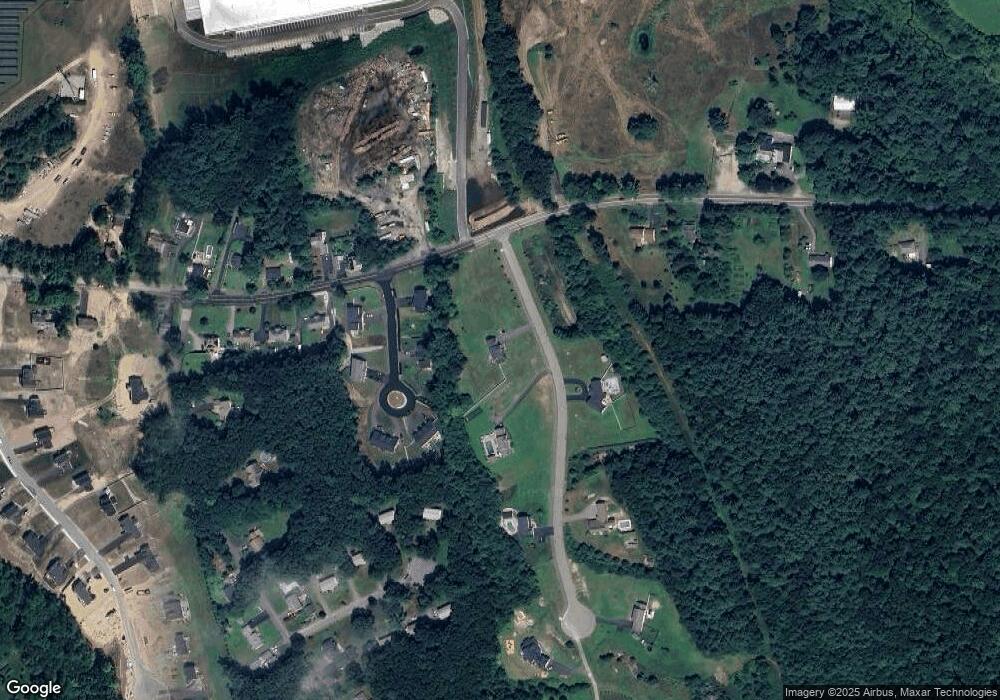
Map
Nearby Homes
- 2 White Ct
- 408 NE Main St
- 41 Martin Rd
- 5 B St
- 22 Gilboa St
- 99 Maple St
- 153 Davis St
- 26 Compass Point Dr Unit 26
- 36 Compass Point Dr Unit 36
- 33 Nautical Way Unit 107
- 8 Hough Rd
- 145 Mantell Rd
- 169 Mantell Rd
- 137 Mantell Rd
- 405 West St
- 296 Yew St
- 37 Bayliss Way
- 11 Summerfield Dr Unit 11
- 22 Bayliss Way
- 376 Douglas St
- 3 Walnut Grove St
- 6 Walnut Grove St
- 7 Walnut Grove St
- 11 Walnut Grove St
- 11 Walnut Grove St
- 4 William Dr Unit 4
- 2 William Dr
- 12 Walnut Grove St
- 12 Walnut Grove St
- 12 Williams Dr Unit 12
- 10 William Unit 10
- 3 William Dr Unit 3
- 1 William Dr Unit 1
- 3 William Dr Unit B
- 3 William Dr Unit A
- 3 William Dr Unit B
- 1 William Dr Unit B
- 3 William Dr Unit A
- 1 William Dr Unit A
- 7 William Dr Unit 7
Your Personal Tour Guide
Ask me questions while you tour the home.