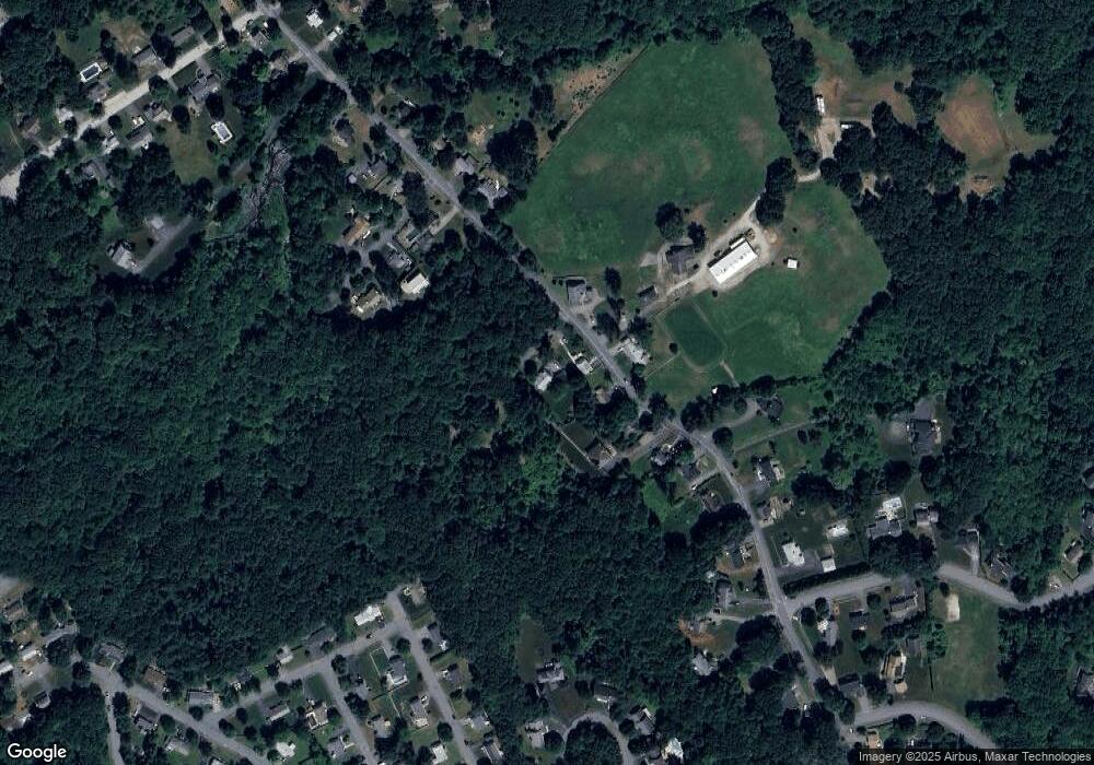
3 Walnut Hill Ln Shrewsbury, MA 01545
Estimated Value: $601,000 - $768,000
4
Beds
2
Baths
2,065
Sq Ft
$327/Sq Ft
Est. Value
About This Home
This home is located at 3 Walnut Hill Ln, Shrewsbury, MA 01545 and is currently estimated at $675,758, approximately $327 per square foot. 3 Walnut Hill Ln is a home located in Worcester County with nearby schools including Floral Street School, Sherwood Middle School, and Oak Middle School.
Ownership History
Date
Name
Owned For
Owner Type
Purchase Details
Closed on
Dec 3, 2013
Sold by
Bovaird Larry C and Bovaird Marie C
Bought by
Sm Rt and Lapierre
Current Estimated Value
Purchase Details
Closed on
Jan 31, 1994
Sold by
Mcgovern Juliana
Bought by
Lapierre Steven and Lapierre Melinda
Create a Home Valuation Report for This Property
The Home Valuation Report is an in-depth analysis detailing your home's value as well as a comparison with similar homes in the area
Home Values in the Area
Average Home Value in this Area
Purchase History
| Date | Buyer | Sale Price | Title Company |
|---|---|---|---|
| Sm Rt | $30,000 | -- | |
| Sm Rt | $30,000 | -- | |
| Sm Rt | $30,000 | -- | |
| Lapierre Steven | $130,000 | -- | |
| Lapierre Steven | $130,000 | -- |
Source: Public Records
Mortgage History
| Date | Status | Borrower | Loan Amount |
|---|---|---|---|
| Previous Owner | Lapierre Steven | $75,000 | |
| Previous Owner | Lapierre Steven | $225,000 | |
| Previous Owner | Lapierre Steven | $22,000 |
Source: Public Records
Tax History Compared to Growth
Tax History
| Year | Tax Paid | Tax Assessment Tax Assessment Total Assessment is a certain percentage of the fair market value that is determined by local assessors to be the total taxable value of land and additions on the property. | Land | Improvement |
|---|---|---|---|---|
| 2025 | $66 | $549,700 | $260,300 | $289,400 |
| 2024 | $6,201 | $500,900 | $248,000 | $252,900 |
| 2023 | $6,040 | $460,400 | $248,000 | $212,400 |
| 2022 | $6,372 | $451,600 | $248,000 | $203,600 |
| 2021 | $4,990 | $378,300 | $198,400 | $179,900 |
| 2020 | $4,714 | $378,000 | $198,400 | $179,600 |
| 2019 | $4,537 | $360,900 | $182,000 | $178,900 |
| 2018 | $4,277 | $337,800 | $174,600 | $163,200 |
| 2017 | $4,121 | $321,200 | $158,000 | $163,200 |
| 2016 | $4,013 | $308,700 | $148,000 | $160,700 |
| 2015 | $3,953 | $299,500 | $143,300 | $156,200 |
Source: Public Records
Map
Nearby Homes
- 39 Harvard Ave
- 11 Harvard Ave
- 160 Floral St
- 45 Lebeaux Dr
- 360 SW Cutoff
- 65 Commons Dr Unit 410
- 65 Commons Dr Unit 502
- 65 Commons Dr Unit 603
- 148 Spring St
- 39 Old Brook Rd
- 85 Commons Dr Unit 210
- 85 Commons Dr Unit 212
- 85 Commons Dr Unit 412
- 36 Francis Ave
- 10 High St
- 22 Hitching Post Ln
- 26 High St
- 40 High St
- 18 Eastwood Rd
- 7 Holman Heights Cir
- 86 Walnut St
- 80 Walnut St
- 90 Walnut St
- 98R Walnut St
- 98R Walnut St
- 15 Walnut Hill Ln
- 77 Walnut St Unit 79
- 77 Walnut St Unit 1
- 89 Walnut St
- 96 Walnut St Unit 98
- 100 Walnut St Unit 102
- 9 Leonard Pkwy
- 106 Walnut St
- 5 Leonard Pkwy
- 66 Walnut St
- 108 Walnut St
- 65 Walnut St Unit 67
- 99 Walnut St
- 61 Walnut St
- 60 Walnut St
