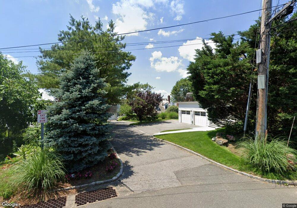
3 Waters Edge Port Washington, NY 11050
Estimated Value: $2,554,531 - $2,966,000
4
Beds
4
Baths
3,995
Sq Ft
$691/Sq Ft
Est. Value
About This Home
This home is located at 3 Waters Edge, Port Washington, NY 11050 and is currently estimated at $2,760,266, approximately $690 per square foot. 3 Waters Edge is a home located in Nassau County with nearby schools including John Philip Sousa Elementary School, Carrie Palmer Weber Middle School, and Paul D. Schreiber Senior High School.
Ownership History
Date
Name
Owned For
Owner Type
Purchase Details
Closed on
Jul 6, 2021
Sold by
Lynne C Whipple and Douglas C Giordan Trustee
Bought by
Friedman 2020 Dynasty Trust
Current Estimated Value
Purchase Details
Closed on
Dec 14, 2017
Sold by
Giordan Douglas C and Giordan Deborah B
Bought by
Giordan Phyllis M
Create a Home Valuation Report for This Property
The Home Valuation Report is an in-depth analysis detailing your home's value as well as a comparison with similar homes in the area
Home Values in the Area
Average Home Value in this Area
Purchase History
| Date | Buyer | Sale Price | Title Company |
|---|---|---|---|
| Friedman 2020 Dynasty Trust | $2,550,000 | First American Title | |
| Friedman 2020 Dynasty Trust | $2,550,000 | First American Title | |
| Friedman 2020 Dynasty Trust | $2,550,000 | First American Title | |
| Giordan Phyllis M | -- | -- | |
| Giordan Phyllis M | -- | -- | |
| Giordan Phyllis M | -- | -- |
Source: Public Records
Tax History Compared to Growth
Tax History
| Year | Tax Paid | Tax Assessment Tax Assessment Total Assessment is a certain percentage of the fair market value that is determined by local assessors to be the total taxable value of land and additions on the property. | Land | Improvement |
|---|---|---|---|---|
| 2025 | $35,133 | $1,559 | $728 | $831 |
| 2024 | $10,500 | $1,785 | $834 | $951 |
| 2023 | $31,157 | $1,785 | $834 | $951 |
| 2022 | $31,157 | $1,785 | $834 | $951 |
| 2021 | $26,992 | $1,729 | $936 | $793 |
| 2020 | $20,281 | $1,632 | $1,631 | $1 |
| 2019 | $26,084 | $2,176 | $2,175 | $1 |
| 2018 | $26,084 | $2,176 | $0 | $0 |
| 2017 | $17,704 | $2,312 | $2,311 | $1 |
| 2016 | $26,294 | $2,448 | $1,813 | $635 |
| 2015 | $9,347 | $2,584 | $1,914 | $670 |
| 2014 | $9,347 | $2,584 | $1,914 | $670 |
| 2013 | $11,712 | $3,446 | $2,552 | $894 |
Source: Public Records
Map
Nearby Homes
- 0 Route 5 & 20
- 454 Main St
- 1 Luquer Rd
- 47 Carlton Ave
- 372 Main St Unit 105
- 2 Smull Ln
- 28 Charles St
- 96 Davis Rd
- 18 S Washington St
- 74 Bayview Ave Unit A
- 38 Madison St Unit 38L
- 43 Amherst Rd
- 17 Willow Dr
- 100 Gristmill Ln
- 1 Toms Point Ln Unit Bldg.2, Apt.4A
- 107 Bayview Rd
- 113 Murray Ave
- 34 Davis Rd
- 125 Main St Unit 1T
- 125 Main St Unit 2H