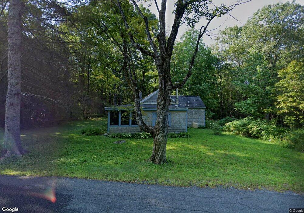
3 Westerly Rd Blandford, MA 01008
Estimated Value: $183,000 - $360,000
2
Beds
1
Bath
970
Sq Ft
$263/Sq Ft
Est. Value
About This Home
This home is located at 3 Westerly Rd, Blandford, MA 01008 and is currently estimated at $255,361, approximately $263 per square foot. 3 Westerly Rd is a home with nearby schools including Gateway Regional High School.
Ownership History
Date
Name
Owned For
Owner Type
Purchase Details
Closed on
Nov 3, 2016
Sold by
Oconnor Joan M
Bought by
Joan M Oconnor T
Current Estimated Value
Purchase Details
Closed on
Mar 9, 1984
Bought by
Oconner Joan M
Create a Home Valuation Report for This Property
The Home Valuation Report is an in-depth analysis detailing your home's value as well as a comparison with similar homes in the area
Home Values in the Area
Average Home Value in this Area
Purchase History
| Date | Buyer | Sale Price | Title Company |
|---|---|---|---|
| Joan M Oconnor T | -- | -- | |
| Oconner Joan M | -- | -- |
Source: Public Records
Tax History
| Year | Tax Paid | Tax Assessment Tax Assessment Total Assessment is a certain percentage of the fair market value that is determined by local assessors to be the total taxable value of land and additions on the property. | Land | Improvement |
|---|---|---|---|---|
| 2025 | $2,252 | $192,300 | $44,400 | $147,900 |
| 2024 | $2,166 | $187,200 | $43,000 | $144,200 |
| 2023 | $2,156 | $157,800 | $35,800 | $122,000 |
| 2022 | $2,026 | $137,000 | $33,700 | $103,300 |
| 2021 | $2,179 | $122,700 | $37,300 | $85,400 |
| 2020 | $2,128 | $119,800 | $34,400 | $85,400 |
| 2019 | $2,062 | $119,800 | $34,400 | $85,400 |
| 2018 | $2,191 | $124,700 | $38,000 | $86,700 |
| 2017 | $2,112 | $124,700 | $38,000 | $86,700 |
| 2016 | $2,046 | $124,700 | $38,000 | $86,700 |
| 2015 | $1,925 | $124,700 | $38,000 | $86,700 |
| 2014 | $1,908 | $124,700 | $38,000 | $86,700 |
Source: Public Records
Map
Nearby Homes
- 23 S Pine St
- L 10 & 11 Albano Dr
- 0 Curtis Hall Rd Unit 73425043
- 0 Curtis Hall Rd Unit 73376838
- 454 Pine Rd
- 103 Algerie Rd
- 1828 E Otis Rd
- 134 Kibbe Rd
- 129 W Shore Rd
- 0 Leisure Ln
- 15B-7 E Otis Rd
- 0 Lion Hill Rd
- 0 Perry Rd
- 0 N Beech Plain Rd Unit 247823
- 93 S Main Rd
- 303 Lakeshore Dr
- 314 & 316 Lakeshore Dr
- 314 Lakeshore Dr
- 316 Lakeshore Dr
- 343 Lakeshore Dr
- 5 Westerly Rd
- 45 Otis Tolland Rd
- 45 Otis-Tolland Rd
- Lot 2 Otis-Tolland Rd
- Lot 1 Otis-Tolland Rd
- Lot 0 Otis-Tolland Rd
- 47 Otis Tolland Rd
- 33 Island Acres Rd
- 8 Island Acres Rd
- 29 Island Acres Rd
- 48 Otis-Tolland Rd
- 49 Otis Tolland Rd
- 49 Otis-Tolland Rd
- 0 Island Acres Rd Unit 71661612
- 0 Island Acres Rd Unit 71962433
- 0 Island Acres Rd Unit 179627
- 0 Island Acres Rd Unit 167489
- 0 Island Acres Rd Unit 165593
- 0 Island Acres Rd Unit 72820474
- 0 Island Acres Rd Unit 211668
Your Personal Tour Guide
Ask me questions while you tour the home.