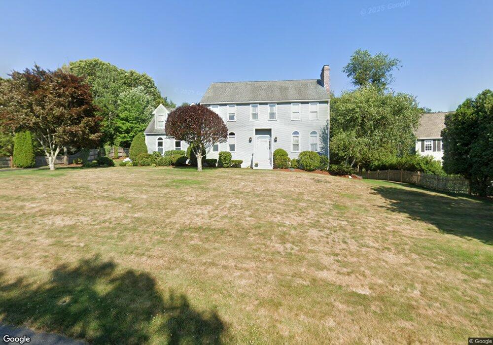
3 Whitridge Rd Natick, MA 01760
Estimated Value: $1,514,962 - $1,794,000
4
Beds
3
Baths
3,484
Sq Ft
$480/Sq Ft
Est. Value
About This Home
This home is located at 3 Whitridge Rd, Natick, MA 01760 and is currently estimated at $1,671,491, approximately $479 per square foot. 3 Whitridge Rd is a home located in Middlesex County with nearby schools including Natick High School, Memorial Elementary School, and J F Kennedy Middle School.
Ownership History
Date
Name
Owned For
Owner Type
Purchase Details
Closed on
Mar 18, 2025
Sold by
Lurier Amy B
Bought by
Amyb Lurier 2025 Ret and Lurier
Current Estimated Value
Purchase Details
Closed on
Jul 31, 1992
Sold by
L & J Bldrs Inc
Bought by
Lurier Eliot and Lurier Amy B
Create a Home Valuation Report for This Property
The Home Valuation Report is an in-depth analysis detailing your home's value as well as a comparison with similar homes in the area
Home Values in the Area
Average Home Value in this Area
Purchase History
| Date | Buyer | Sale Price | Title Company |
|---|---|---|---|
| Amyb Lurier 2025 Ret | -- | None Available | |
| Amyb Lurier 2025 Ret | -- | None Available | |
| Lurier Eliot | $417,500 | -- | |
| Lurier Eliot | $417,500 | -- |
Source: Public Records
Mortgage History
| Date | Status | Borrower | Loan Amount |
|---|---|---|---|
| Previous Owner | Lurier Eliot | $100,000 | |
| Previous Owner | Lurier Eliot | $98,000 | |
| Previous Owner | Lurier Eliot | $108,000 |
Source: Public Records
Tax History
| Year | Tax Paid | Tax Assessment Tax Assessment Total Assessment is a certain percentage of the fair market value that is determined by local assessors to be the total taxable value of land and additions on the property. | Land | Improvement |
|---|---|---|---|---|
| 2025 | $15,749 | $1,316,800 | $550,200 | $766,600 |
| 2024 | $15,260 | $1,244,700 | $521,100 | $723,600 |
| 2023 | $14,096 | $1,115,200 | $479,700 | $635,500 |
| 2022 | $13,834 | $1,037,000 | $428,000 | $609,000 |
| 2021 | $13,267 | $974,800 | $405,500 | $569,300 |
| 2020 | $13,037 | $957,900 | $388,600 | $569,300 |
| 2019 | $12,175 | $957,900 | $388,600 | $569,300 |
| 2018 | $3,272 | $876,500 | $371,700 | $504,800 |
| 2017 | $3,102 | $866,300 | $370,700 | $495,600 |
| 2016 | $11,692 | $861,600 | $370,700 | $490,900 |
| 2015 | $11,357 | $821,800 | $370,700 | $451,100 |
Source: Public Records
Map
Nearby Homes
- 6 Hopewell Farm Rd
- 211 Eliot St
- 16 Wayside Rd Unit 14
- 189 Eliot St
- 11 Morgan Dr Unit 404
- 81 Woodland St
- 7 Allison Way Unit 7
- 36 Yorkshire Rd
- 2 Phillips Pond Rd
- 104 Eliot St
- 18 Phillips Pond Rd
- 14 Pinewood Ave
- 216-218 S Main St
- 137 Lake St
- 104 Glen St
- 165 Woodland St
- 83 Eliot St
- 62 Oakland St
- 2 Arrow Path
- 61 Glen St
Your Personal Tour Guide
Ask me questions while you tour the home.