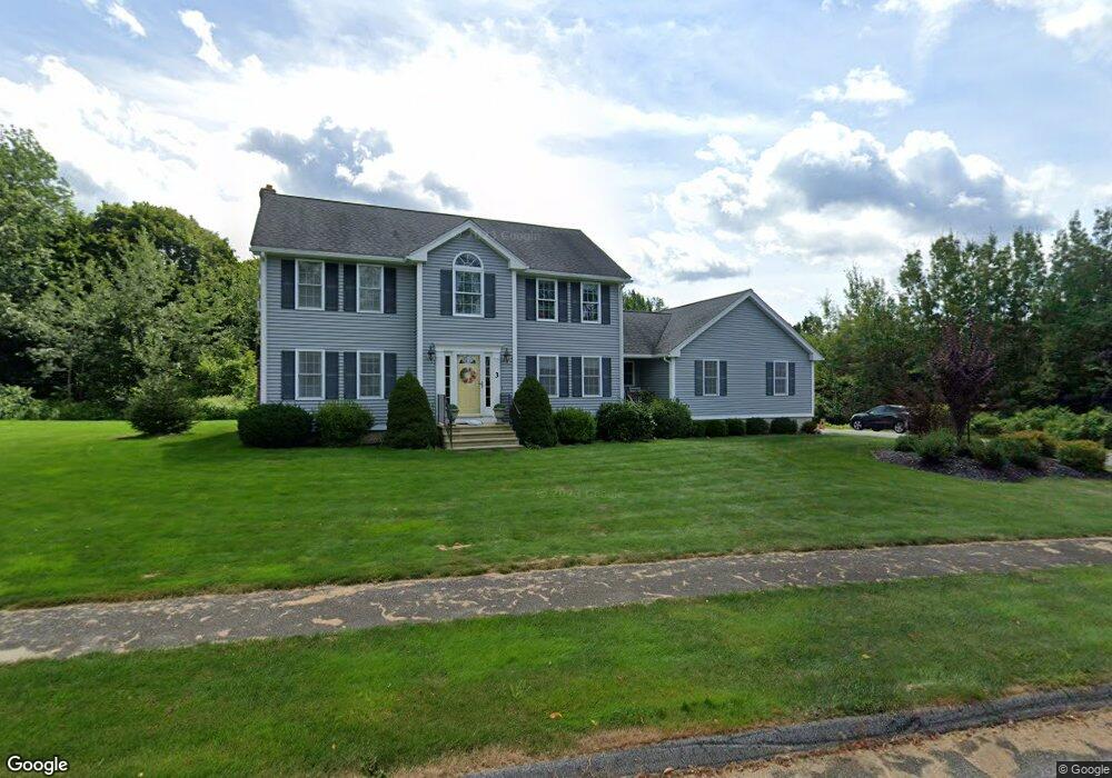
3 Wildbrook Dr Rutland, MA 01543
Estimated Value: $627,000 - $662,000
4
Beds
3
Baths
2,144
Sq Ft
$300/Sq Ft
Est. Value
About This Home
This home is located at 3 Wildbrook Dr, Rutland, MA 01543 and is currently estimated at $642,860, approximately $299 per square foot. 3 Wildbrook Dr is a home located in Worcester County with nearby schools including Wachusett Regional High School.
Ownership History
Date
Name
Owned For
Owner Type
Purchase Details
Closed on
Jan 21, 2020
Sold by
Jardine James G and Jardine Michelle M
Bought by
Jardine Ft
Current Estimated Value
Purchase Details
Closed on
Nov 10, 2005
Sold by
Blair Enterprises Inc
Bought by
Jardine James G and Jardine Michelle M
Home Financials for this Owner
Home Financials are based on the most recent Mortgage that was taken out on this home.
Original Mortgage
$200,000
Interest Rate
5.93%
Mortgage Type
Purchase Money Mortgage
Create a Home Valuation Report for This Property
The Home Valuation Report is an in-depth analysis detailing your home's value as well as a comparison with similar homes in the area
Home Values in the Area
Average Home Value in this Area
Purchase History
| Date | Buyer | Sale Price | Title Company |
|---|---|---|---|
| Jardine Ft | -- | None Available | |
| Jardine James G | $363,128 | -- |
Source: Public Records
Mortgage History
| Date | Status | Borrower | Loan Amount |
|---|---|---|---|
| Previous Owner | Jardine James G | $200,000 |
Source: Public Records
Tax History Compared to Growth
Tax History
| Year | Tax Paid | Tax Assessment Tax Assessment Total Assessment is a certain percentage of the fair market value that is determined by local assessors to be the total taxable value of land and additions on the property. | Land | Improvement |
|---|---|---|---|---|
| 2025 | $8,017 | $563,000 | $119,000 | $444,000 |
| 2024 | $7,695 | $518,900 | $107,400 | $411,500 |
| 2023 | $6,915 | $504,000 | $101,200 | $402,800 |
| 2022 | $6,490 | $411,000 | $85,900 | $325,100 |
| 2021 | $6,418 | $384,300 | $85,900 | $298,400 |
| 2020 | $6,389 | $362,800 | $81,000 | $281,800 |
| 2019 | $6,356 | $355,300 | $74,200 | $281,100 |
| 2018 | $6,108 | $336,900 | $74,200 | $262,700 |
| 2017 | $5,745 | $313,600 | $74,200 | $239,400 |
| 2016 | $5,359 | $308,500 | $70,600 | $237,900 |
| 2015 | $5,290 | $299,700 | $70,600 | $229,100 |
| 2014 | $5,128 | $299,700 | $70,600 | $229,100 |
Source: Public Records
Map
Nearby Homes
- 21 Wildbrook Dr
- 252 Pleasantdale Rd
- 43 Irish Ln
- 37 Irish Ln
- 39 Irish Ln
- Lot 11 Pleasantdale Rd
- 4 Black Hill Rd
- LOT 8 Pierre Cir
- 11 Brigham Rd
- 236 Turkey Hill Rd
- 7 Emerald Rd
- 196 N Spencer Rd
- 7 Victoria Ave
- 14 Welch Ave Unit A
- 2 Kosta Ave
- 18 Shore Dr
- 17 Shore Dr
- 21 Spencer Rd
- 4 Wilson Way
- 230 West St
- 346 Pleasantdale Rd
- 5 Wildbrook Dr
- 337 Pleasantdale Rd
- 345 Pleasantdale Rd
- 341 Pleasantdale Rd
- 350 Pleasantdale Rd
- 7 Wildbrook Dr
- 9 Wildbrook Dr
- 353 Pleasantdale Rd
- 331 Pleasantdale Rd
- 8 Wildbrook Dr
- 352 Pleasantdale Rd
- 327 Pleasantdale Rd
- 357 Pleasantdale Rd
- 1 Brooke Haven Dr
- 15 Wildbrook Dr
- 361 Pleasantdale Rd
- 3 Brooke Haven Dr
- 21 Wildbrook Dr Unit 21
- 323 Pleasantdale Rd