Estimated Value: $1,177,000 - $1,397,000
4
Beds
4
Baths
3,004
Sq Ft
$420/Sq Ft
Est. Value
About This Home
This home is located at 3 Willis Holden Dr, Acton, MA 01720 and is currently estimated at $1,262,810, approximately $420 per square foot. 3 Willis Holden Dr is a home located in Middlesex County with nearby schools including Acton-Boxborough Regional High School.
Ownership History
Date
Name
Owned For
Owner Type
Purchase Details
Closed on
Oct 26, 2011
Sold by
Nestorov Ivan A and Nestorova Diana T
Bought by
Nestorov Ft and Nestorov Ivan A
Current Estimated Value
Purchase Details
Closed on
Jun 18, 2008
Sold by
Bruce Charles F and Bruce Lynn M
Bought by
Nestorova Diana T and Nestorov Ivan A
Home Financials for this Owner
Home Financials are based on the most recent Mortgage that was taken out on this home.
Original Mortgage
$324,000
Interest Rate
6.1%
Mortgage Type
Purchase Money Mortgage
Create a Home Valuation Report for This Property
The Home Valuation Report is an in-depth analysis detailing your home's value as well as a comparison with similar homes in the area
Home Values in the Area
Average Home Value in this Area
Purchase History
| Date | Buyer | Sale Price | Title Company |
|---|---|---|---|
| Nestorov Ft | -- | -- | |
| Nestorova Diana T | $720,000 | -- |
Source: Public Records
Mortgage History
| Date | Status | Borrower | Loan Amount |
|---|---|---|---|
| Previous Owner | Nestorova Diana T | $324,000 |
Source: Public Records
Tax History
| Year | Tax Paid | Tax Assessment Tax Assessment Total Assessment is a certain percentage of the fair market value that is determined by local assessors to be the total taxable value of land and additions on the property. | Land | Improvement |
|---|---|---|---|---|
| 2025 | $18,423 | $1,074,200 | $386,400 | $687,800 |
| 2024 | $17,165 | $1,029,700 | $386,400 | $643,300 |
| 2023 | $17,047 | $970,800 | $351,000 | $619,800 |
| 2022 | $16,101 | $827,800 | $305,200 | $522,600 |
| 2021 | $15,731 | $777,600 | $282,700 | $494,900 |
| 2020 | $14,828 | $770,700 | $282,700 | $488,000 |
| 2019 | $14,276 | $737,000 | $282,700 | $454,300 |
| 2018 | $14,240 | $734,800 | $282,700 | $452,100 |
| 2017 | $13,864 | $727,400 | $282,700 | $444,700 |
| 2016 | $13,563 | $705,300 | $282,700 | $422,600 |
| 2015 | $13,324 | $699,400 | $282,700 | $416,700 |
| 2014 | $12,619 | $648,800 | $282,700 | $366,100 |
Source: Public Records
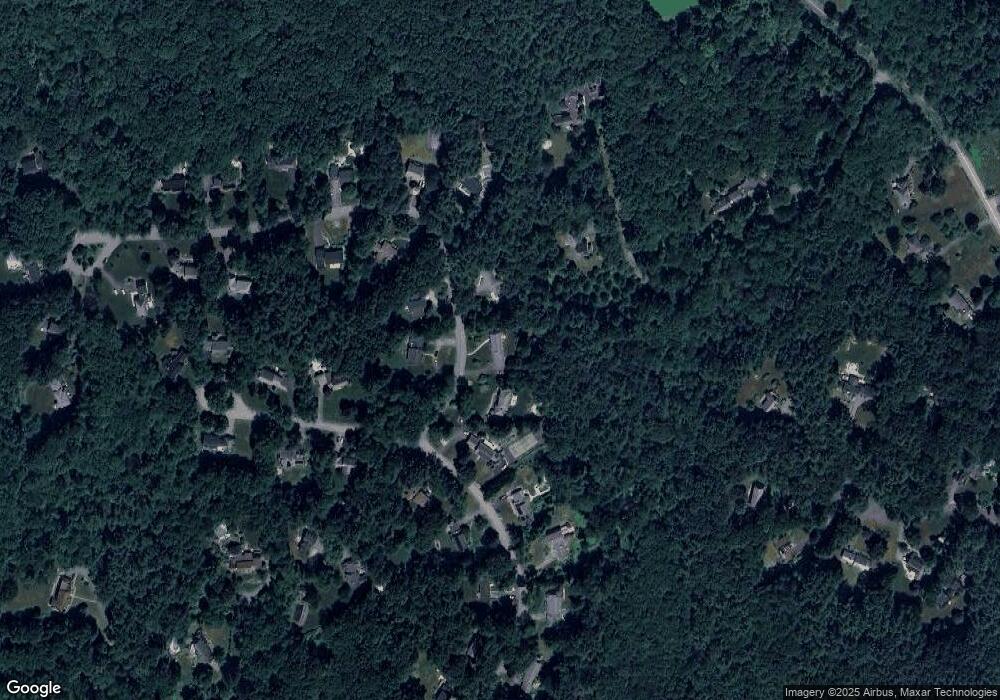
Map
Nearby Homes
- 96 Newtown Rd
- 33 Meadowbrook Rd
- 103 Nagog Hill Rd
- 524 Main St
- 159 Skyline Dr Unit 159
- 709 Main St
- 11 Braebrook
- 491 Main St
- 35 Greenside Ln Unit 35
- 79 Charter Rd
- 18 Hayward Rd
- 380 Great Rd Unit B301
- 380A Great Rd Unit 301
- 388 Great Rd Unit A9
- 388 Great Rd Unit B14
- 6 Old Village Rd
- 420 Great Rd Unit B3
- 11 Walnut St
- 4 Omega Way
- 5 Perkins Ln
- 1 Willis Holden Dr
- 5 Willis Holden Dr
- 4 Willis Holden Dr
- 6 Willis Holden Dr
- 11 Samuel Parlin Dr
- 4 Sutton Place
- 8 Willis Holden Dr
- 7 Willis Holden Dr
- 10 Samuel Parlin Dr
- 9 Samuel Parlin Dr
- 15 Samuel Parlin Dr
- 8 Samuel Parlin Dr
- 10 Willis Holden Dr
- 7 Samuel Parlin Dr
- 9 Willis Holden Dr
- 16 Samuel Parlin Dr
- 17 Samuel Parlin Dr
- 6 Samuel Parlin Dr
- 11 Willis Holden Dr
- 18 Samuel Parlin Dr
Your Personal Tour Guide
Ask me questions while you tour the home.