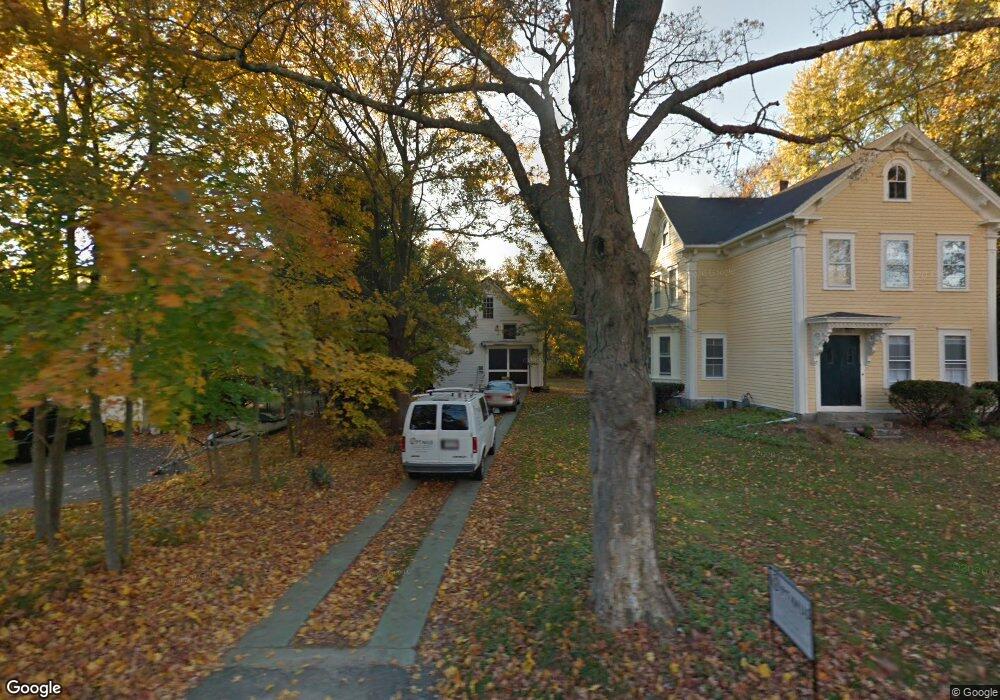
3 Winthrop St Medway, MA 02053
Estimated Value: $547,000 - $835,000
3
Beds
2
Baths
2,646
Sq Ft
$260/Sq Ft
Est. Value
About This Home
This home is located at 3 Winthrop St, Medway, MA 02053 and is currently estimated at $689,215, approximately $260 per square foot. 3 Winthrop St is a home located in Norfolk County with nearby schools including John D. McGovern Elementary School, Burke-Memorial Elementary, and Medway Middle School.
Ownership History
Date
Name
Owned For
Owner Type
Purchase Details
Closed on
Apr 10, 2012
Sold by
Fnma
Bought by
Sabtchev Melanie
Current Estimated Value
Home Financials for this Owner
Home Financials are based on the most recent Mortgage that was taken out on this home.
Original Mortgage
$184,890
Outstanding Balance
$127,946
Interest Rate
3.95%
Mortgage Type
New Conventional
Estimated Equity
$561,269
Purchase Details
Closed on
Oct 20, 2011
Sold by
Larney Marion A
Bought by
Federal National Mortgage Association
Create a Home Valuation Report for This Property
The Home Valuation Report is an in-depth analysis detailing your home's value as well as a comparison with similar homes in the area
Home Values in the Area
Average Home Value in this Area
Purchase History
| Date | Buyer | Sale Price | Title Company |
|---|---|---|---|
| Sabtchev Melanie | $174,000 | -- | |
| Federal National Mortgage Association | $465,727 | -- |
Source: Public Records
Mortgage History
| Date | Status | Borrower | Loan Amount |
|---|---|---|---|
| Open | Sabtchev Melanie | $184,890 |
Source: Public Records
Tax History Compared to Growth
Tax History
| Year | Tax Paid | Tax Assessment Tax Assessment Total Assessment is a certain percentage of the fair market value that is determined by local assessors to be the total taxable value of land and additions on the property. | Land | Improvement |
|---|---|---|---|---|
| 2025 | $7,538 | $529,000 | $269,000 | $260,000 |
| 2024 | $7,618 | $529,000 | $269,000 | $260,000 |
| 2023 | $7,497 | $470,300 | $231,700 | $238,600 |
| 2022 | $7,381 | $436,000 | $206,900 | $229,100 |
| 2021 | $6,925 | $396,600 | $186,200 | $210,400 |
| 2020 | $6,689 | $382,200 | $165,500 | $216,700 |
| 2019 | $6,315 | $372,100 | $165,500 | $206,600 |
| 2018 | $6,338 | $358,900 | $144,800 | $214,100 |
| 2017 | $6,195 | $345,700 | $134,500 | $211,200 |
| 2016 | $5,933 | $327,600 | $129,500 | $198,100 |
| 2015 | $5,446 | $298,600 | $122,100 | $176,500 |
| 2014 | $3,930 | $208,600 | $128,300 | $80,300 |
Source: Public Records
Map
Nearby Homes
- 18 Norfolk Ave
- 6 Norfolk Ave
- 37 Maple St
- 329 Village St
- 22 Sunset Dr
- 224 Main St
- 0 Pond Unit 73416512
- 0 Pond Unit 24285018
- 6 Freedom Trail
- 12 Kelley St
- 12 Lovering St
- 2 Kingson Ln Unit 2
- 14 Millstone Dr Unit 14
- 106 Holliston St
- 12 Gorwin Dr
- 14 Richard Rd
- 2 King Phillip St
- 50 Main St
- 12 Longmeadow Ln
- 26 Timber Crest Dr