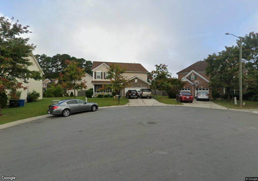
3 Woodsey Ct Durham, NC 27703
Eastern Durham NeighborhoodEstimated Value: $483,000 - $548,000
4
Beds
3
Baths
2,826
Sq Ft
$178/Sq Ft
Est. Value
About This Home
This home is located at 3 Woodsey Ct, Durham, NC 27703 and is currently estimated at $504,320, approximately $178 per square foot. 3 Woodsey Ct is a home located in Durham County with nearby schools including Spring Valley Elementary School, John W Neal Middle School, and Southern School of Energy & Sustainability.
Ownership History
Date
Name
Owned For
Owner Type
Purchase Details
Closed on
Sep 22, 2011
Sold by
Crest Properties Of North Carolinas Llc
Bought by
Dickens Shareefah M and Dickens Jerome
Current Estimated Value
Home Financials for this Owner
Home Financials are based on the most recent Mortgage that was taken out on this home.
Original Mortgage
$175,923
Outstanding Balance
$121,274
Interest Rate
4.4%
Mortgage Type
FHA
Estimated Equity
$383,046
Purchase Details
Closed on
Jun 2, 2010
Sold by
St Lawrence Homes Inc
Bought by
Crest Properties Of North Carolina Llc
Create a Home Valuation Report for This Property
The Home Valuation Report is an in-depth analysis detailing your home's value as well as a comparison with similar homes in the area
Home Values in the Area
Average Home Value in this Area
Purchase History
| Date | Buyer | Sale Price | Title Company |
|---|---|---|---|
| Dickens Shareefah M | $180,500 | None Available | |
| Crest Properties Of North Carolina Llc | -- | None Available |
Source: Public Records
Mortgage History
| Date | Status | Borrower | Loan Amount |
|---|---|---|---|
| Open | Dickens Shareefah M | $175,923 |
Source: Public Records
Tax History Compared to Growth
Tax History
| Year | Tax Paid | Tax Assessment Tax Assessment Total Assessment is a certain percentage of the fair market value that is determined by local assessors to be the total taxable value of land and additions on the property. | Land | Improvement |
|---|---|---|---|---|
| 2025 | $5,125 | $516,973 | $102,375 | $414,598 |
| 2024 | $3,146 | $304,409 | $52,740 | $251,669 |
| 2023 | $3,987 | $304,409 | $52,740 | $251,669 |
| 2022 | $3,896 | $304,409 | $52,740 | $251,669 |
| 2021 | $3,878 | $304,409 | $52,740 | $251,669 |
| 2020 | $3,787 | $304,409 | $52,740 | $251,669 |
| 2019 | $3,787 | $304,409 | $52,740 | $251,669 |
| 2018 | $3,459 | $254,983 | $46,880 | $208,103 |
| 2017 | $3,433 | $254,983 | $46,880 | $208,103 |
| 2016 | $3,318 | $254,983 | $46,880 | $208,103 |
| 2015 | $3,296 | $238,068 | $44,077 | $193,991 |
| 2014 | $3,296 | $238,068 | $44,077 | $193,991 |
Source: Public Records
Map
Nearby Homes
- 6 Dawson Ct
- 2002 Cross Bones Blvd Unit 36
- 807 Outlaw Ave Unit 19
- 2011 Cross Bones Blvd Unit 41
- 1009 Shovelhead Dr Unit 5
- 611 Poplar St
- 632 Poplar St
- 30 Plumleaf Ln
- 1110 Blackthorn Ln
- 519 Keith St
- 11 Blackthorn Ln
- 814 Poplar St
- The Poplar Plan at Sherron Road Townes
- 9 Blackthorn Ln
- 1013 Blackthorn Ln
- 1110 W Wellwater Ave
- 1104 Constellation Cir
- 1100 Constellation Cir
- 1062 Constellation Cir
- 124 Green Gables Way