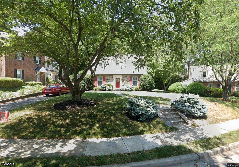
30 Aintree Rd Towson, MD 21286
Estimated Value: $578,000 - $683,000
Studio
2
Baths
1,605
Sq Ft
$388/Sq Ft
Est. Value
About This Home
This home is located at 30 Aintree Rd, Towson, MD 21286 and is currently estimated at $622,810, approximately $388 per square foot. 30 Aintree Rd is a home located in Baltimore County with nearby schools including Stoneleigh Elementary School, Dumbarton Middle School, and Towson High Law & Public Policy.
Ownership History
Date
Name
Owned For
Owner Type
Purchase Details
Closed on
Aug 2, 2007
Sold by
Johnson John Scott
Bought by
Schillo James B and Rios Amalia
Current Estimated Value
Home Financials for this Owner
Home Financials are based on the most recent Mortgage that was taken out on this home.
Original Mortgage
$120,000
Interest Rate
6.78%
Mortgage Type
Purchase Money Mortgage
Purchase Details
Closed on
Jul 12, 2007
Sold by
Johnson John Scott
Bought by
Schillo James B and Rios Amalia
Home Financials for this Owner
Home Financials are based on the most recent Mortgage that was taken out on this home.
Original Mortgage
$120,000
Interest Rate
6.78%
Mortgage Type
Purchase Money Mortgage
Purchase Details
Closed on
Jun 26, 1997
Sold by
Wright Katherine B
Bought by
Johnson John Scott and Johnson Karen
Create a Home Valuation Report for This Property
The Home Valuation Report is an in-depth analysis detailing your home's value as well as a comparison with similar homes in the area
Home Values in the Area
Average Home Value in this Area
Purchase History
| Date | Buyer | Sale Price | Title Company |
|---|---|---|---|
| Schillo James B | $480,000 | -- | |
| Schillo James B | $480,000 | -- | |
| Johnson John Scott | $215,000 | -- |
Source: Public Records
Mortgage History
| Date | Status | Borrower | Loan Amount |
|---|---|---|---|
| Closed | Schillo James B | $120,000 | |
| Closed | Schillo James B | $120,000 |
Source: Public Records
Tax History
| Year | Tax Paid | Tax Assessment Tax Assessment Total Assessment is a certain percentage of the fair market value that is determined by local assessors to be the total taxable value of land and additions on the property. | Land | Improvement |
|---|---|---|---|---|
| 2025 | $6,377 | $506,400 | $139,800 | $366,600 |
| 2024 | $6,377 | $481,467 | $0 | $0 |
| 2023 | $3,055 | $456,533 | $0 | $0 |
| 2022 | $5,773 | $431,600 | $130,000 | $301,600 |
| 2021 | $5,504 | $419,633 | $0 | $0 |
| 2020 | $5,504 | $407,667 | $0 | $0 |
| 2019 | $5,344 | $395,700 | $130,000 | $265,700 |
| 2018 | $5,436 | $390,000 | $0 | $0 |
| 2017 | $4,989 | $384,300 | $0 | $0 |
| 2016 | $5,146 | $378,600 | $0 | $0 |
| 2015 | $5,146 | $378,600 | $0 | $0 |
| 2014 | $5,146 | $378,600 | $0 | $0 |
Source: Public Records
Map
Nearby Homes
- 517 Worcester Rd
- 624 Fairway Dr
- 7404 Knollwood Rd
- 150 Marburth Ave
- 31 Meridian Ln
- 609 Stevenson Ln
- 310 Worthington Rd
- 105 Meridian Ln
- 212 E Burke Ave
- 224 E Burke Ave
- 202 Wilden Dr
- 119 E Susquehanna Ave
- 345 Eudowood Ln
- 305 Davage Ln
- 220 E Pennsylvania Ave
- 12 Stone Ridge Ct
- 335 Old Trail Rd
- 500 Hillen Rd
- 501 Stoneleigh Rd
- 205 E Joppa Rd
Your Personal Tour Guide
Ask me questions while you tour the home.