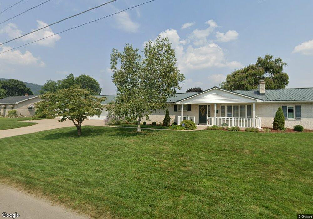
30 Arbor St Berwick, PA 18603
Estimated Value: $227,000 - $327,000
Studio
--
Bath
2,469
Sq Ft
$116/Sq Ft
Est. Value
About This Home
This home is located at 30 Arbor St, Berwick, PA 18603 and is currently estimated at $286,151, approximately $115 per square foot. 30 Arbor St is a home located in Columbia County with nearby schools including Berwick Area High School, Holy Family Consolidated School, and New Story School.
Ownership History
Date
Name
Owned For
Owner Type
Purchase Details
Closed on
Dec 30, 2014
Sold by
Forsythe Willis L and Forsythe Susan C
Bought by
Carroll Jennifer L and Forsythe Irrevocable Grantor T
Current Estimated Value
Purchase Details
Closed on
Jul 17, 2009
Sold by
Forsythe Willis L and Forsythe Susan C
Bought by
Forsythe Willis L and Forsythe Susan C
Home Financials for this Owner
Home Financials are based on the most recent Mortgage that was taken out on this home.
Original Mortgage
$102,000
Interest Rate
5.58%
Mortgage Type
New Conventional
Create a Home Valuation Report for This Property
The Home Valuation Report is an in-depth analysis detailing your home's value as well as a comparison with similar homes in the area
Home Values in the Area
Average Home Value in this Area
Purchase History
| Date | Buyer | Sale Price | Title Company |
|---|---|---|---|
| Carroll Jennifer L | -- | None Available | |
| Forsythe Willis L | -- | None Available |
Source: Public Records
Mortgage History
| Date | Status | Borrower | Loan Amount |
|---|---|---|---|
| Closed | Forsythe Willis L | $102,000 |
Source: Public Records
Tax History
| Year | Tax Paid | Tax Assessment Tax Assessment Total Assessment is a certain percentage of the fair market value that is determined by local assessors to be the total taxable value of land and additions on the property. | Land | Improvement |
|---|---|---|---|---|
| 2025 | $5,624 | $62,741 | $0 | $0 |
| 2024 | $5,562 | $62,741 | $8,039 | $54,702 |
| 2023 | $5,185 | $62,741 | $8,039 | $54,702 |
| 2022 | $5,015 | $62,741 | $8,039 | $54,702 |
| 2021 | $4,904 | $62,741 | $8,039 | $54,702 |
| 2020 | $4,792 | $62,741 | $8,039 | $54,702 |
| 2019 | $4,717 | $62,741 | $8,039 | $54,702 |
| 2018 | $4,531 | $62,741 | $8,039 | $54,702 |
| 2017 | $4,547 | $62,741 | $8,039 | $54,702 |
| 2016 | -- | $62,741 | $8,039 | $54,702 |
| 2015 | -- | $62,741 | $8,039 | $54,702 |
| 2014 | -- | $62,741 | $8,039 | $54,702 |
Source: Public Records
Map
Nearby Homes
- 1830 Chestnut St
- 305 Summerhill Ave
- 239 E 15th St
- 337 Summerhill Ave
- 1624 Walnut St
- 1201 N Market St
- 1308 Chestnut St
- LOT 5, 320 E 13th St
- LOT 11,320 E 13th St
- 1006 Pine St
- 911 N Mulberry St
- 204 206 E 10 St
- 1411 N Warren St
- 1129 Freas Ave
- 721 Lasalle St
- 114 E 7th St
- 1333 7th Ave
- 607 Maple St
- 229 E 5th St
- 341 N Vine St
- 38 Arbor St
- 24 Arbor St
- 1925 Heights Rd
- 1935 Heights Rd
- 103 Elm St
- 1801 N Market St
- 1811 N Market St
- 1728 N Market St
- 1901 N Market St
- 1916 Heights Rd
- 1850 N Market St
- 1843 Heights Rd
- 1916,1918 Heights Rd
- 1905 N Market St
- 1906 Heights Rd
- 1909 N Market St
- 1715 N Market St
- 1932 Heights Rd
- 2010 Heights Rd
- 1920 Heights Rd
Your Personal Tour Guide
Ask me questions while you tour the home.