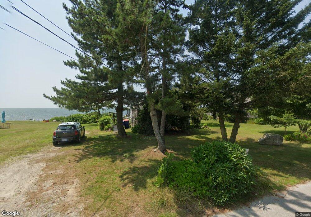
30 Balsam St Fairhaven, MA 02719
West Island NeighborhoodEstimated Value: $642,000 - $926,000
1
Bed
1
Bath
713
Sq Ft
$1,069/Sq Ft
Est. Value
About This Home
This home is located at 30 Balsam St, Fairhaven, MA 02719 and is currently estimated at $762,446, approximately $1,069 per square foot. 30 Balsam St is a home located in Bristol County with nearby schools including Fairhaven High School.
Ownership History
Date
Name
Owned For
Owner Type
Purchase Details
Closed on
Jan 3, 2019
Sold by
Dunwoodie Daniel E and Dunwoodie Sheila L
Bought by
Dunwoodie Ft
Current Estimated Value
Purchase Details
Closed on
Apr 2, 1973
Bought by
Dunwoodie Daniel E and Dunwoodie Sheila L
Create a Home Valuation Report for This Property
The Home Valuation Report is an in-depth analysis detailing your home's value as well as a comparison with similar homes in the area
Home Values in the Area
Average Home Value in this Area
Purchase History
| Date | Buyer | Sale Price | Title Company |
|---|---|---|---|
| Dunwoodie Ft | -- | -- | |
| Dunwoodie Daniel E | -- | -- |
Source: Public Records
Mortgage History
| Date | Status | Borrower | Loan Amount |
|---|---|---|---|
| Previous Owner | Dunwoodie Daniel E | $20,000 | |
| Previous Owner | Dunwoodie Daniel E | $30,000 |
Source: Public Records
Tax History Compared to Growth
Tax History
| Year | Tax Paid | Tax Assessment Tax Assessment Total Assessment is a certain percentage of the fair market value that is determined by local assessors to be the total taxable value of land and additions on the property. | Land | Improvement |
|---|---|---|---|---|
| 2025 | $78 | $837,900 | $688,300 | $149,600 |
| 2024 | $7,652 | $829,000 | $688,300 | $140,700 |
| 2023 | $7,888 | $792,800 | $674,000 | $118,800 |
| 2022 | $7,905 | $773,500 | $659,600 | $113,900 |
| 2021 | $6,424 | $569,000 | $473,200 | $95,800 |
| 2020 | $6,293 | $569,000 | $473,200 | $95,800 |
| 2019 | $6,094 | $522,200 | $430,200 | $92,000 |
| 2018 | $6,072 | $516,800 | $430,200 | $86,600 |
| 2017 | $5,789 | $480,800 | $401,500 | $79,300 |
| 2016 | $5,833 | $478,900 | $401,500 | $77,400 |
| 2015 | $5,655 | $465,400 | $394,400 | $71,000 |
Source: Public Records
Map
Nearby Homes
- 91 Balsam St
- 120 Balsam St
- 151 Balsam St
- 59 Starboard Dr Unit 36A
- 58 Starboard Dr Unit 36B
- 55 Starboard Dr Unit 36E
- 54 Starboard Dr Unit 36F
- 56 Starboard Dr Unit 36D
- 57 Starboard Dr Unit 36C
- 8 Sunset Beach Rd
- 389 Sconticut Neck Rd
- 14 Summit Dr
- 19 Smith St
- 28 Brandt Beach Ave
- 16 Reservation Rd
- 7 Mattakiset Rd
- 0 Marina Dr Unit 72497908
- 0 Marina Dr Unit 72497877
- 15 Baxter Ave
- 190 Sconticut Neck Rd