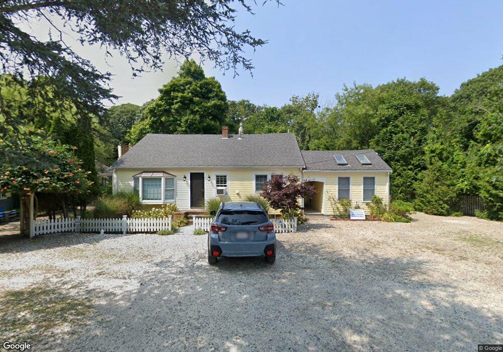
30 Bangs St Unit C Provincetown, MA 02657
Estimated Value: $697,913 - $813,000
2
Beds
1
Bath
429
Sq Ft
$1,741/Sq Ft
Est. Value
About This Home
This home is located at 30 Bangs St Unit C, Provincetown, MA 02657 and is currently estimated at $746,978, approximately $1,741 per square foot. 30 Bangs St Unit C is a home located in Barnstable County with nearby schools including Provincetown Schools.
Ownership History
Date
Name
Owned For
Owner Type
Purchase Details
Closed on
May 6, 2025
Sold by
Helene Rabinovitz Ret and Rabinovitz
Bought by
Rabinovitz Helene
Current Estimated Value
Purchase Details
Closed on
Mar 1, 2018
Sold by
Rabinovitz Helene
Bought by
Helene Rabinovitz Ret and Rabinovitz
Purchase Details
Closed on
Jul 31, 2006
Sold by
Normandy Michael and Castagnoli Robert
Bought by
Rabinovitz Helene
Purchase Details
Closed on
Jul 2, 2004
Sold by
Berger Fredric J and Merrifield Ken
Bought by
Normandy Michael and Castagnoli Robert
Create a Home Valuation Report for This Property
The Home Valuation Report is an in-depth analysis detailing your home's value as well as a comparison with similar homes in the area
Home Values in the Area
Average Home Value in this Area
Purchase History
| Date | Buyer | Sale Price | Title Company |
|---|---|---|---|
| Rabinovitz Helene | -- | None Available | |
| Rabinovitz Helene | -- | None Available | |
| Helene Rabinovitz Ret | -- | -- | |
| Helene Rabinovitz Ret | -- | -- | |
| Rabinovitz Helene | $343,500 | -- | |
| Rabinovitz Helene | $343,500 | -- | |
| Normandy Michael | $319,000 | -- |
Source: Public Records
Tax History
| Year | Tax Paid | Tax Assessment Tax Assessment Total Assessment is a certain percentage of the fair market value that is determined by local assessors to be the total taxable value of land and additions on the property. | Land | Improvement |
|---|---|---|---|---|
| 2025 | $3,373 | $602,300 | $0 | $602,300 |
| 2024 | $3,171 | $568,300 | $0 | $568,300 |
| 2023 | $2,928 | $489,700 | $0 | $489,700 |
| 2022 | $3,020 | $453,400 | $0 | $453,400 |
| 2021 | $2,936 | $414,700 | $0 | $414,700 |
| 2020 | $2,590 | $391,300 | $0 | $391,300 |
| 2019 | $2,607 | $369,300 | $0 | $369,300 |
| 2018 | $2,558 | $343,300 | $0 | $343,300 |
| 2017 | $2,545 | $330,100 | $0 | $330,100 |
| 2016 | $2,489 | $319,100 | $0 | $319,100 |
| 2015 | $2,243 | $303,900 | $0 | $303,900 |
Source: Public Records
Map
Nearby Homes
- 184 Bradford St Unit 1
- 208 Bradford St Unit 7
- 441 Commercial St Unit B
- 37 Pearl St
- 488 Commercial St Unit 14
- 495 Commercial St Unit 9
- 495 Commercial St Unit 11
- 86 Harry Kemp Way Unit B
- 405 Commercial St Unit 5
- 9A Conwell St Unit 4
- 16 Off Conwell St
- 286A Bradford St Unit 5
- 16 Conwell St Unit 3
- 33 Conwell St Unit 5B
- 361b Commercial St Unit U3
- 535 Commercial St Unit 2
- 535 Commercial St Unit 2
- 539 Commercial St Unit 1
- 539 Commercial St Unit 3
- 333 Commercial St Unit 9
- 30 Bangs St Unit E
- 30 Bangs St Unit D
- 30 Bangs St Unit B
- 30 Bangs St Unit F
- 30 Bangs St Unit A
- 30 Bangs St Unit UF
- 30 Bangs St Unit G
- 26-A Bangs St
- 5 Upper Miller Hill Rd
- 4 Upper Miller Hill Rd Unit 1 & 2
- 4 Upper Miller Hill Rd Unit 1
- 4 Upper Miller Hill Rd Unit 2
- 26 Bangs St
- 1 Upper Miller Hill Rd
- 24 Bangs St Unit 3
- 24 Bangs St Unit 2
- 24 Bangs St Unit 1
- 25 Bangs St Unit 2
- 25 Bangs St Unit 1
- 25 Bangs St
Your Personal Tour Guide
Ask me questions while you tour the home.