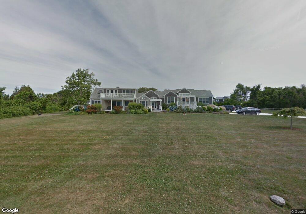
30 Beach Dr Little Compton, RI 02837
Estimated Value: $3,011,000 - $3,933,964
4
Beds
4
Baths
4,020
Sq Ft
$905/Sq Ft
Est. Value
About This Home
This home is located at 30 Beach Dr, Little Compton, RI 02837 and is currently estimated at $3,639,241, approximately $905 per square foot. 30 Beach Dr is a home located in Newport County with nearby schools including Wilbur & McMahon School.
Ownership History
Date
Name
Owned For
Owner Type
Purchase Details
Closed on
Dec 4, 2023
Sold by
Simon Gary B and Simon Anne E
Bought by
30 Beach Llc
Current Estimated Value
Purchase Details
Closed on
Jun 15, 1993
Sold by
Leventhal Jerome and Leventhal Phyllis
Bought by
Simon Gary B and Simon Anne
Home Financials for this Owner
Home Financials are based on the most recent Mortgage that was taken out on this home.
Original Mortgage
$300,000
Interest Rate
7.41%
Create a Home Valuation Report for This Property
The Home Valuation Report is an in-depth analysis detailing your home's value as well as a comparison with similar homes in the area
Home Values in the Area
Average Home Value in this Area
Purchase History
| Date | Buyer | Sale Price | Title Company |
|---|---|---|---|
| 30 Beach Llc | -- | None Available | |
| Simon Gary B | $430,000 | -- | |
| Simon Gary B | $430,000 | -- |
Source: Public Records
Mortgage History
| Date | Status | Borrower | Loan Amount |
|---|---|---|---|
| Previous Owner | Simon Gary B | $417,000 | |
| Previous Owner | Simon Gary B | $241,800 | |
| Previous Owner | Simon Gary B | $275,000 | |
| Previous Owner | Simon Gary B | $300,000 |
Source: Public Records
Tax History
| Year | Tax Paid | Tax Assessment Tax Assessment Total Assessment is a certain percentage of the fair market value that is determined by local assessors to be the total taxable value of land and additions on the property. | Land | Improvement |
|---|---|---|---|---|
| 2025 | $17,087 | $3,567,200 | $1,750,900 | $1,816,300 |
| 2024 | $16,361 | $3,220,600 | $1,522,400 | $1,698,200 |
| 2023 | $15,974 | $3,220,600 | $1,522,400 | $1,698,200 |
| 2022 | $15,682 | $3,200,400 | $1,502,200 | $1,698,200 |
| 2021 | $15,836 | $2,621,900 | $1,185,900 | $1,436,000 |
| 2020 | $12,486 | $2,084,400 | $1,185,900 | $898,500 |
| 2019 | $12,707 | $2,142,900 | $1,185,900 | $957,000 |
| 2018 | $10,926 | $1,833,300 | $1,185,900 | $647,400 |
| 2016 | $10,395 | $1,833,300 | $1,185,900 | $647,400 |
| 2015 | $9,542 | $1,659,400 | $988,300 | $671,100 |
| 2014 | $9,359 | $1,659,400 | $988,300 | $671,100 |
Source: Public Records
Map
Nearby Homes
- 30 Indian Rd
- 1 Butts Rock Rd
- 89 S Shore Rd
- 128 Maple Ave
- 141 S Of Commons Rd
- 138 Willow Ave
- 38 Old Bull Ln
- 255 John Dyer Rd
- 0 Willow Ave
- 505 Long Hwy
- 441 W Main Rd
- 141 Peckham Rd
- 1 Puddingstone Cir
- 245 John Dyer Rd
- 140I Long Hwy
- 140 Long Hwy
- 17 Ferolbink Way
- 155 W Main Rd
- 116 Amy Hart Path
- 17 Amy Hart Path
Your Personal Tour Guide
Ask me questions while you tour the home.