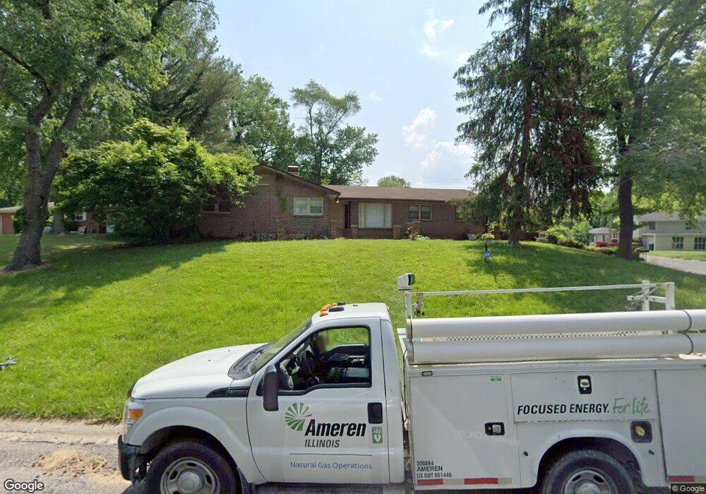
30 Birch Dr Belleville, IL 62223
Estimated Value: $199,507 - $260,000
Studio
--
Bath
1,851
Sq Ft
$121/Sq Ft
Est. Value
About This Home
This home is located at 30 Birch Dr, Belleville, IL 62223 and is currently estimated at $224,127, approximately $121 per square foot. 30 Birch Dr is a home located in St. Clair County with nearby schools including Ellis Elementary School, Emge Junior High School, and Our Lady Queen Of Peace Catholic School.
Ownership History
Date
Name
Owned For
Owner Type
Purchase Details
Closed on
Mar 16, 2016
Sold by
J & L Properties 12 Llc
Bought by
Cook Jewel W
Current Estimated Value
Purchase Details
Closed on
Jan 17, 2007
Sold by
Cook Jewel W
Bought by
J & L Properties 12 Llc
Purchase Details
Closed on
Dec 20, 2006
Sold by
Cook Jewel W and Cook Linda H
Bought by
J & L Properties 12 Llc
Purchase Details
Closed on
Aug 19, 2005
Sold by
Rybicki Michael
Bought by
J E F Enterprises Inc
Purchase Details
Closed on
Dec 3, 2004
Sold by
Rybicki Carolyn
Bought by
Rybicki Carolyn
Create a Home Valuation Report for This Property
The Home Valuation Report is an in-depth analysis detailing your home's value as well as a comparison with similar homes in the area
Home Values in the Area
Average Home Value in this Area
Purchase History
| Date | Buyer | Sale Price | Title Company |
|---|---|---|---|
| Cook Jewel W | -- | Attorney | |
| J & L Properties 12 Llc | -- | Integrity Land Title Co Inc | |
| J & L Properties 12 Llc | -- | None Available | |
| J E F Enterprises Inc | $104,000 | Chicago Title | |
| Rybicki Carolyn | -- | -- |
Source: Public Records
Tax History
| Year | Tax Paid | Tax Assessment Tax Assessment Total Assessment is a certain percentage of the fair market value that is determined by local assessors to be the total taxable value of land and additions on the property. | Land | Improvement |
|---|---|---|---|---|
| 2024 | $4,943 | $58,841 | $5,149 | $53,692 |
| 2023 | $4,622 | $52,796 | $4,620 | $48,176 |
| 2022 | $4,389 | $47,909 | $4,192 | $43,717 |
| 2021 | $4,071 | $42,835 | $3,892 | $38,943 |
| 2020 | $3,868 | $39,350 | $3,787 | $35,563 |
| 2019 | $3,857 | $39,350 | $3,787 | $35,563 |
| 2018 | $3,745 | $37,602 | $3,619 | $33,983 |
| 2017 | $3,457 | $35,019 | $3,370 | $31,649 |
| 2016 | $3,260 | $32,415 | $5,271 | $27,144 |
| 2014 | $2,957 | $32,601 | $5,301 | $27,300 |
| 2013 | $3,856 | $34,782 | $5,656 | $29,126 |
Source: Public Records
Map
Nearby Homes
- 6106 Warren Dr
- 2819 Frank Scott Pkwy W
- 425 S 47th St
- 125 Chevy Chase Dr
- 213 Springdale Dr
- 2245 Frank Scott Pkwy W
- 2241 Frank Scott Pkwy W
- 22 Elizabeth Dr
- 3311 S Belt W
- 2264 Frank Scott Pkwy W
- 311 Chevy Chase Dr
- 408 Southgate Dr
- 10 Chamberlain Ct
- 13 Chamberlain Ct
- 119 Freedom Dr
- 21 S 57th St
- 128 Freedom Dr
- 112 Freedom Dr
- 69 Country Club Acres
- 125 Barrington Dr
Your Personal Tour Guide
Ask me questions while you tour the home.