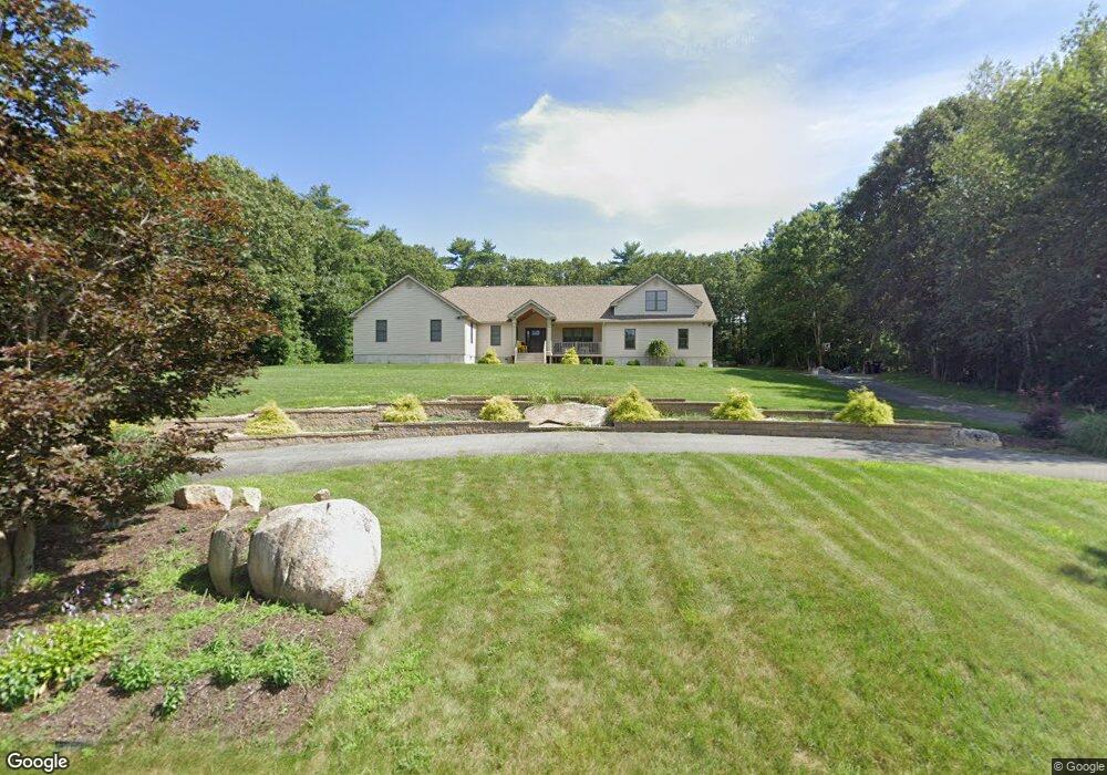
30 Bluebird Ln Westport, MA 02790
North Westport NeighborhoodEstimated Value: $868,867 - $1,002,000
3
Beds
--
Bath
2,600
Sq Ft
$359/Sq Ft
Est. Value
About This Home
This home is located at 30 Bluebird Ln, Westport, MA 02790 and is currently estimated at $932,622, approximately $358 per square foot. 30 Bluebird Ln is a home located in Bristol County with nearby schools including Alice A. Macomber Primary School, Westport Elementary School, and Westport Middle-High School.
Ownership History
Date
Name
Owned For
Owner Type
Purchase Details
Closed on
Sep 13, 2007
Sold by
Cabral Edgardo J and Cabral Elvira M
Bought by
Silva Kelly F and Silva Kevin J
Current Estimated Value
Home Financials for this Owner
Home Financials are based on the most recent Mortgage that was taken out on this home.
Original Mortgage
$148,000
Interest Rate
6.7%
Mortgage Type
Purchase Money Mortgage
Create a Home Valuation Report for This Property
The Home Valuation Report is an in-depth analysis detailing your home's value as well as a comparison with similar homes in the area
Home Values in the Area
Average Home Value in this Area
Purchase History
| Date | Buyer | Sale Price | Title Company |
|---|---|---|---|
| Silva Kelly F | $185,000 | -- |
Source: Public Records
Mortgage History
| Date | Status | Borrower | Loan Amount |
|---|---|---|---|
| Open | Silva Kelly F | $407,700 | |
| Closed | Silva Kelly F | $467,500 | |
| Closed | Silva Kelly F | $148,000 |
Source: Public Records
Tax History Compared to Growth
Tax History
| Year | Tax Paid | Tax Assessment Tax Assessment Total Assessment is a certain percentage of the fair market value that is determined by local assessors to be the total taxable value of land and additions on the property. | Land | Improvement |
|---|---|---|---|---|
| 2025 | $6,205 | $832,900 | $190,200 | $642,700 |
| 2024 | $6,269 | $811,000 | $176,500 | $634,500 |
| 2023 | $6,057 | $742,300 | $161,200 | $581,100 |
| 2022 | $5,470 | $645,000 | $147,200 | $497,800 |
| 2021 | $5,344 | $620,000 | $134,100 | $485,900 |
| 2020 | $5,171 | $613,400 | $128,800 | $484,600 |
| 2019 | $5,219 | $631,100 | $128,800 | $502,300 |
| 2018 | $4,479 | $548,200 | $127,800 | $420,400 |
| 2017 | $4,294 | $538,800 | $127,800 | $411,000 |
| 2016 | $3,969 | $501,800 | $127,800 | $374,000 |
| 2015 | $3,665 | $462,200 | $127,800 | $334,400 |
Source: Public Records
Map
Nearby Homes
- 16 S Berryman St
- 15 S Breault St
- 96 Forge Rd
- 565 Highland Ave
- 56 Lakeside Ave
- 29 Union Ave
- 55 Lakeside Ave
- 735 Reed Rd
- 818 Reed Rd
- 0 Van Buren St
- 3 Roller Coaster Way Unit Lot 1
- 27 Dias Ave
- 9 Kyle Jacob Rd
- 461 Reed Rd
- 116 Gifford Rd
- 20 Faulkner St
- 19 Charles Joseph Dr
- 2 Donna Marie Dr
- 1276 Old Fall River Rd
- 4 Main Rd
- 36 Bluebird Ln
- 24 Bluebird Ln
- 31 Bluebird Ln
- 37 Bluebird Ln
- 142 Highland Ave
- 146 Highland Ave
- 138 Highland Ave
- 25 Bluebird Ln
- 150 Highland Ave
- 42 Bluebird Ln
- 134 Highland Ave
- 18 Bluebird Ln
- 43 Bluebird Ln
- 154 Highland Ave
- 130 Highland Ave
- 19 Bluebird Ln
- 33 Dogwood Ln
- 31 Dogwood Ln
- 158 Highland Ave
- 49 Bluebird Ln