30 Bourne Point Rd Wareham, MA 02571
Estimated Value: $1,248,000 - $2,467,953
4
Beds
5
Baths
4,476
Sq Ft
$406/Sq Ft
Est. Value
About This Home
This home is located at 30 Bourne Point Rd, Wareham, MA 02571 and is currently estimated at $1,818,988, approximately $406 per square foot. 30 Bourne Point Rd is a home located in Plymouth County.
Ownership History
Date
Name
Owned For
Owner Type
Purchase Details
Closed on
Dec 22, 2021
Sold by
Mcf Residence T 2009 and Fishman
Bought by
Mcf Residence T and Fishman
Current Estimated Value
Purchase Details
Closed on
Dec 30, 2009
Sold by
Fishman Mark C
Bought by
Mcf Residence T and Fishman Mark C
Purchase Details
Closed on
Dec 29, 2009
Sold by
Fishman Mark C and Fishman Martha P
Bought by
Fishman Mark C and Fishman Martha P
Create a Home Valuation Report for This Property
The Home Valuation Report is an in-depth analysis detailing your home's value as well as a comparison with similar homes in the area
Purchase History
| Date | Buyer | Sale Price | Title Company |
|---|---|---|---|
| Mcf Residence T | -- | None Available | |
| Mcf Residence T | -- | None Available | |
| Mcf Residence T | -- | None Available | |
| Mcf Residence T | -- | None Available | |
| Mcf Residence T | -- | None Available | |
| Mcf Residence T | -- | -- | |
| Mpf Residence T | -- | -- | |
| Mcf Residence T | -- | -- | |
| Fishman Mark C | -- | -- | |
| Fishman Mark C | -- | -- |
Source: Public Records
Tax History
| Year | Tax Paid | Tax Assessment Tax Assessment Total Assessment is a certain percentage of the fair market value that is determined by local assessors to be the total taxable value of land and additions on the property. | Land | Improvement |
|---|---|---|---|---|
| 2025 | $22,483 | $2,157,700 | $936,800 | $1,220,900 |
| 2024 | $21,133 | $1,881,800 | $706,700 | $1,175,100 |
| 2023 | $20,367 | $1,660,100 | $643,100 | $1,017,000 |
| 2022 | $20,367 | $1,545,300 | $616,300 | $929,000 |
| 2021 | $18,414 | $1,369,100 | $616,300 | $752,800 |
| 2020 | $17,322 | $1,306,300 | $616,300 | $690,000 |
| 2019 | $19,199 | $1,444,600 | $798,700 | $645,900 |
| 2018 | $19,690 | $1,444,600 | $798,700 | $645,900 |
| 2017 | $19,005 | $1,413,000 | $798,700 | $614,300 |
| 2016 | $18,698 | $1,382,000 | $837,900 | $544,100 |
| 2015 | $19,136 | $1,464,100 | $900,900 | $563,200 |
| 2014 | $17,121 | $1,332,400 | $728,000 | $604,400 |
Source: Public Records
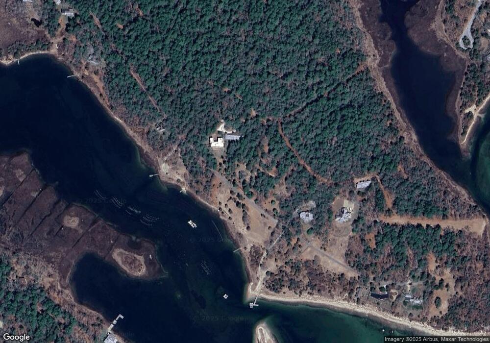
Map
Nearby Homes
- 10 Dowd Ave
- 65 Great Neck Rd
- 8 Over Jordan Rd
- 14 Over Jordan Rd
- 200 Great Neck Rd
- 0 Squaw's Path
- 6 Beacon St Unit 79
- 7 Cranberry Ln
- 276a Onset Ave
- 1 Gibbs Ball Park Rd
- 10 Beacon St Unit 83
- 391 Onset Ave
- 38 Amos Way
- 26 Highland Ave
- 248 Great Neck Rd
- 10 Oak St
- 12 Beacon St Unit 84
- 124 Minot Ave Unit 1
- 10 East Blvd
- 10 East Blvd
- 34 Bourne Point Rd
- 31 Bourne Point Rd
- 29 Bourne Point Rd
- 42 Bourne Point Rd
- 48 Bourne Point Rd
- 23 Bourne Point Rd
- 19 Bourne Point Rd
- 47 Bourne Point Rd
- 0 Indian Neck
- 52 Warren Point Rd
- 6 Mink Cove Ln
- 53 Bourne Point Rd
- 9 Bourne Hill Rd
- 44 Warren Point Rd
- 17 Bourne Point Rd
- 49 Bourne Point Rd
- 60 Warren Point Rd
- 51 Bourne Point Rd
- 29 Martin St
- 38 Warren Point Rd
Your Personal Tour Guide
Ask me questions while you tour the home.